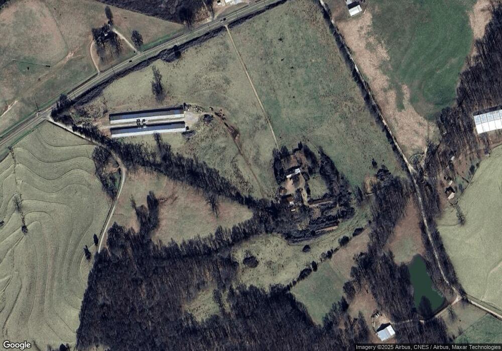
21145 Highway 59 Carnesville, GA 30521
Estimated Value: $375,000
3
Beds
1
Bath
2,236
Sq Ft
$168/Sq Ft
Est. Value
About This Home
This home is located at 21145 Highway 59, Carnesville, GA 30521 and is currently estimated at $375,000, approximately $167 per square foot. 21145 Highway 59 is a home located in Franklin County with nearby schools including Franklin County High School.
Ownership History
Date
Name
Owned For
Owner Type
Purchase Details
Closed on
Nov 6, 2024
Sold by
Gordon Barbrann
Bought by
B Gordon Revocable Trust and Gordon B Trust
Current Estimated Value
Purchase Details
Closed on
Mar 2, 2018
Sold by
Hitt Joan
Bought by
Barbrann Gordon
Purchase Details
Closed on
Apr 10, 1990
Bought by
Hitt Joan
Create a Home Valuation Report for This Property
The Home Valuation Report is an in-depth analysis detailing your home's value as well as a comparison with similar homes in the area
Home Values in the Area
Average Home Value in this Area
Purchase History
| Date | Buyer | Sale Price | Title Company |
|---|---|---|---|
| B Gordon Revocable Trust | -- | -- | |
| Barbrann Gordon | $176,753 | -- | |
| Hitt Joan | -- | -- |
Source: Public Records
Tax History Compared to Growth
Tax History
| Year | Tax Paid | Tax Assessment Tax Assessment Total Assessment is a certain percentage of the fair market value that is determined by local assessors to be the total taxable value of land and additions on the property. | Land | Improvement |
|---|---|---|---|---|
| 2024 | $3,064 | $391,708 | $300,451 | $91,257 |
| 2023 | $3,140 | $359,136 | $273,139 | $85,997 |
| 2022 | $2,848 | $194,259 | $113,033 | $81,226 |
| 2021 | $2,666 | $184,664 | $113,032 | $71,632 |
| 2020 | $2,434 | $157,210 | $94,194 | $63,016 |
| 2019 | $2,335 | $157,210 | $94,194 | $63,016 |
| 2018 | $2,064 | $130,851 | $75,255 | $55,596 |
| 2017 | $2,127 | $130,851 | $75,255 | $55,596 |
| 2016 | $2,072 | $126,335 | $75,255 | $51,080 |
| 2015 | -- | $128,777 | $75,255 | $53,522 |
| 2014 | -- | $128,777 | $75,255 | $53,522 |
| 2013 | -- | $128,777 | $75,254 | $53,522 |
Source: Public Records
Map
Nearby Homes
- HWY 51 Owl Hollow Rd
- 0 Old Federal Rd Unit 6931372
- 8188 Sandy Cross Rd
- 0 Morris Trail Unit 10394631
- 0 Morris Trail Unit 7470661
- 0 Falcon Ln Unit 10495019
- 0 Falcon Ln Unit 1024877
- 2100 Westbrook Rd
- 0 Varner Rd
- 4001 Highway 198
- 0 Georgia 198
- 1079 Hardeman Farm Rd
- 6343 Georgia 198
- 14 Kristy Ln
- 2090 Southern Seed Way
- 150 Garrison Rd
- 262 Garrison Rd
- 340 Mcfarlin Blvd
- 161 Meadow Lake Dr
- 139 Meadow Lake Dr
- 21145 Highway 59
- 21270 Highway 59
- 21066 Highway 59
- 21501 Highway 59
- 21501 Highway 59
- 808 Wilhite Rd
- 0 Owl Hollow Rd
- 941 Owl Hollow Rd
- 1100 Owl Hollow Rd
- 212 Hamilton Rd
- 400 Owl Hollow Rd
- 20631 Highway 59
- 20631 Highway 59
- 10725 Old Federal Rd
- 2228 Rock Pillar Rd
- 10595 Old Federal Rd
- 1109 Shepard Rd
- 833 Shepard Rd
- 476 Wilhite Rd
- 22022 Highway 59