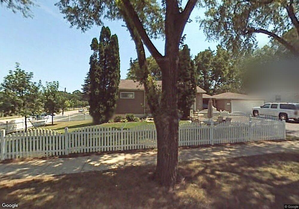
2115 Cherokee Rd Waukegan, IL 60087
Lake Cogardens NeighborhoodEstimated Value: $204,000 - $230,000
3
Beds
1
Bath
864
Sq Ft
$249/Sq Ft
Est. Value
About This Home
This home is located at 2115 Cherokee Rd, Waukegan, IL 60087 and is currently estimated at $214,836, approximately $248 per square foot. 2115 Cherokee Rd is a home located in Lake County with nearby schools including Clearview Elementary School, Miguel Juarez Middle School, and Waukegan High School.
Ownership History
Date
Name
Owned For
Owner Type
Purchase Details
Closed on
Feb 20, 2004
Sold by
Hampton Barbara J and Hampton Charles E
Bought by
Garza Raul and Garza Mirtha
Current Estimated Value
Home Financials for this Owner
Home Financials are based on the most recent Mortgage that was taken out on this home.
Original Mortgage
$117,000
Interest Rate
5.74%
Mortgage Type
Purchase Money Mortgage
Create a Home Valuation Report for This Property
The Home Valuation Report is an in-depth analysis detailing your home's value as well as a comparison with similar homes in the area
Home Values in the Area
Average Home Value in this Area
Purchase History
| Date | Buyer | Sale Price | Title Company |
|---|---|---|---|
| Garza Raul | $127,000 | -- |
Source: Public Records
Mortgage History
| Date | Status | Borrower | Loan Amount |
|---|---|---|---|
| Closed | Garza Raul | $117,000 |
Source: Public Records
Tax History
| Year | Tax Paid | Tax Assessment Tax Assessment Total Assessment is a certain percentage of the fair market value that is determined by local assessors to be the total taxable value of land and additions on the property. | Land | Improvement |
|---|---|---|---|---|
| 2024 | $4,882 | $66,166 | $8,273 | $57,893 |
| 2023 | $3,892 | $59,774 | $7,474 | $52,300 |
| 2022 | $3,892 | $45,816 | $7,121 | $38,695 |
| 2021 | $3,550 | $40,050 | $6,166 | $33,884 |
| 2020 | $3,549 | $37,311 | $5,744 | $31,567 |
| 2019 | $3,519 | $34,189 | $5,263 | $28,926 |
| 2018 | $2,876 | $27,670 | $6,704 | $20,966 |
| 2017 | $2,629 | $24,480 | $5,931 | $18,549 |
| 2016 | $2,360 | $21,272 | $5,154 | $16,118 |
| 2015 | $2,203 | $19,039 | $4,613 | $14,426 |
| 2014 | $2,540 | $20,551 | $4,749 | $15,802 |
| 2012 | $3,368 | $22,265 | $5,146 | $17,119 |
Source: Public Records
Map
Nearby Homes
- 1913 Apache Rd
- 2440 W Cheyenne Rd
- 1916 Niva Ct
- 2705 Jacquelyn Ln
- 2928 W Country Club Ave
- 3000 W Country Club Ave
- 2946 W Country Club Ave
- 2629 N Mcaree Rd
- 2223 New York St
- 2508 W Atlantic Ave
- 3320 Sunset Ave
- 12352 W Atlantic Ave
- 2810 W Atlantic Ave
- 12346 W Sallmon Ave
- 2426 N Butrick St
- 2605 N Pine St
- 12787 W Grove Ave
- 2805 N Elmwood Ave
- 2820 N Elmwood Ave
- 1810 Linden Ave
- 2341 Sequoit Rd
- 2111 Cherokee Rd
- 2331 Sequoit Rd
- 2114 Cherokee Rd
- 2107 Cherokee Rd
- 2110 Cherokee Rd Unit 1A
- 2320 Huron Terrace
- 2321 Sequoit Rd
- 2106 Cherokee Rd
- 2340 Huron Terrace
- 2431 Sequoit Rd
- 2310 Huron Terrace
- 2330 Huron Terrace Unit 1A
- 2311 Sequoit Rd Unit 1A
- 2400 Huron Rd
- 2400 Huron Terrace
- 2441 Sequoit Rd
- 2410 Huron Terrace
- 2301 Sequoit Rd
- 2306 Huron Terrace
Your Personal Tour Guide
Ask me questions while you tour the home.