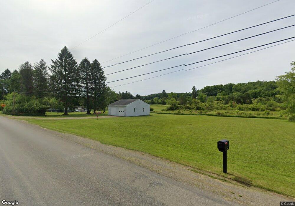
2115 Cooperstown Rd Franklin, PA 16323
Estimated Value: $91,000 - $213,000
3
Beds
1
Bath
1,232
Sq Ft
$120/Sq Ft
Est. Value
About This Home
This home is located at 2115 Cooperstown Rd, Franklin, PA 16323 and is currently estimated at $147,530, approximately $119 per square foot. 2115 Cooperstown Rd is a home located in Venango County with nearby schools including Oil City Senior High School.
Ownership History
Date
Name
Owned For
Owner Type
Purchase Details
Closed on
Dec 4, 2008
Sold by
Ehrhart Debra J and Ehrhart Ricky
Bought by
Bilbie Allen N and Lumley Bilbie Chrissy S
Current Estimated Value
Purchase Details
Closed on
Apr 5, 2006
Sold by
Balot Barbara E
Bought by
Davis Debra J
Purchase Details
Closed on
Mar 16, 2006
Sold by
Balot Edward E and Balot Barbara E
Bought by
Balot Barbara E
Create a Home Valuation Report for This Property
The Home Valuation Report is an in-depth analysis detailing your home's value as well as a comparison with similar homes in the area
Home Values in the Area
Average Home Value in this Area
Purchase History
| Date | Buyer | Sale Price | Title Company |
|---|---|---|---|
| Bilbie Allen N | $11,300 | None Available | |
| Davis Debra J | $75,600 | None Available | |
| Balot Barbara E | -- | None Available |
Source: Public Records
Tax History Compared to Growth
Tax History
| Year | Tax Paid | Tax Assessment Tax Assessment Total Assessment is a certain percentage of the fair market value that is determined by local assessors to be the total taxable value of land and additions on the property. | Land | Improvement |
|---|---|---|---|---|
| 2025 | $1,804 | $68,730 | $13,000 | $55,730 |
| 2024 | $1,636 | $68,730 | $13,000 | $55,730 |
| 2023 | $1,636 | $68,730 | $13,000 | $55,730 |
| 2022 | $1,593 | $66,920 | $13,000 | $53,920 |
| 2021 | $1,593 | $66,920 | $13,000 | $53,920 |
| 2020 | $1,593 | $66,920 | $13,000 | $53,920 |
| 2019 | $1,593 | $66,920 | $13,000 | $53,920 |
| 2018 | $1,593 | $66,920 | $13,000 | $53,920 |
| 2017 | -- | $66,920 | $13,000 | $53,920 |
| 2016 | $1,593 | $66,920 | $13,000 | $53,920 |
| 2015 | -- | $66,920 | $13,000 | $53,920 |
| 2014 | -- | $66,920 | $13,000 | $53,920 |
Source: Public Records
Map
Nearby Homes
- 1388 Cooperstown Rd
- 4080 Rt 417
- 2462 Rocky Grove Ave
- 140 Highland Park Dr
- 124 High St
- 147 Gierlach Dr
- 626 Cherrytree Rd
- 00 Shaffer Run Rd Unit LotWP003
- 538 Halyday Run Rd
- 584 Leboeuf Trail Rd
- 1108 Patchel Run Rd
- 509 2nd Ave
- 0 2 Mile Run Rd
- 284 Warren Rd
- 204 1st Ave
- 126 Cherry Run Rd
- 147 Warren Rd
- 155 Cherry Run Rd
- 0 Pennsylvania 427
- 236 Rice Rd
- 2112 Cooperstown Rd
- 2091 Cooperstown Rd
- 2141 Cooperstown Rd
- 2141 Cooperstown Rd
- 2142 Cooperstown Rd
- 3765 State Route 417
- 3855 State Route 417
- 3796 State Route 417
- 3796 State Route 417
- 3861 State Route 417
- 3850 State Route 417
- 2031 Cooperstown Rd
- 3879 Pennsylvania 417
- 3871 State Route 417
- 3864 State Route 417
- 3875 State Route 417
- 3870 State Route 417
- 2074 Creek Rd
- 3885 State Route 417
- 3874 State Route 417