Estimated Value: $369,164 - $477,000
5
Beds
3
Baths
3,406
Sq Ft
$124/Sq Ft
Est. Value
About This Home
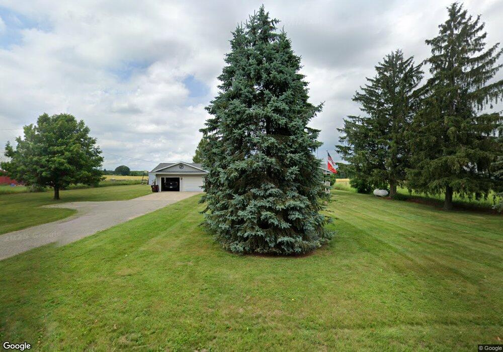
This home is located at 2115 E 128th St, Grant, MI 49327 and is currently estimated at $421,291, approximately $123 per square foot. 2115 E 128th St is a home located in Newaygo County with nearby schools including Grant Primary Center, Grant Elementary School, and Grant Middle School.
Ownership History
Date
Name
Owned For
Owner Type
Purchase Details
Closed on
Feb 28, 2011
Sold by
Dauchy Mark R and Dauchy Dawn M
Bought by
Plumb Tracy and Plumb Michael
Current Estimated Value
Home Financials for this Owner
Home Financials are based on the most recent Mortgage that was taken out on this home.
Original Mortgage
$162,181
Outstanding Balance
$111,749
Interest Rate
4.85%
Mortgage Type
VA
Estimated Equity
$309,542
Purchase Details
Closed on
Jul 1, 1998
Sold by
Fletcher Ronald K
Bought by
Dauchy Mark R
Create a Home Valuation Report for This Property
The Home Valuation Report is an in-depth analysis detailing your home's value as well as a comparison with similar homes in the area
Purchase History
| Date | Buyer | Sale Price | Title Company |
|---|---|---|---|
| Plumb Tracy | $157,000 | -- | |
| Dauchy Mark R | $129,900 | -- |
Source: Public Records
Mortgage History
| Date | Status | Borrower | Loan Amount |
|---|---|---|---|
| Open | Plumb Tracy | $162,181 |
Source: Public Records
Tax History
| Year | Tax Paid | Tax Assessment Tax Assessment Total Assessment is a certain percentage of the fair market value that is determined by local assessors to be the total taxable value of land and additions on the property. | Land | Improvement |
|---|---|---|---|---|
| 2025 | $1,090 | $187,800 | $0 | $0 |
| 2024 | $11 | $176,500 | $0 | $0 |
| 2023 | $1,018 | $150,400 | $0 | $0 |
| 2022 | $2,345 | $138,100 | $0 | $0 |
| 2021 | $2,352 | $127,800 | $0 | $0 |
| 2020 | $2,313 | $114,400 | $0 | $0 |
| 2019 | $2,265 | $103,800 | $0 | $0 |
| 2018 | $2,319 | $92,000 | $0 | $0 |
| 2017 | $2,351 | $85,800 | $0 | $0 |
| 2016 | $2,303 | $84,600 | $0 | $0 |
| 2015 | -- | $83,600 | $0 | $0 |
| 2014 | -- | $76,400 | $0 | $0 |
Source: Public Records
Map
Nearby Homes
- 12449 S Catalpa Ave
- 953 E 136th St
- 9680 S Thornapple Ave
- 500 E 136th St
- 608 E The Ln
- Lot 19 S Elder Ave
- 151 & 153 Clark St
- 140 E Commerce St
- 283 S Jones St
- 11298 S Gordon Ave
- 17090 Kenowa Ave
- 1773 N Newaygo Rd
- 5405 E 120th St
- 10021 S Mason Dr
- 13806 S Locust Ave
- 10041 S Mason Dr
- 9370 S Hannah Ln
- 9500 S Annie Ln
- 5773 E 136th St
- 15680 Tyrone Ave
- 2172 E 128th St
- 2273 E 128th St
- 2318 E 128th St
- 12615 S Catalpa Ave
- 12891 Spruce Ave
- 12851 Spruce Ave
- 12851 S Spruce Ave
- 701 E 128th St
- 791 E 128th St
- 12822 Spruce Ave
- 12975 Spruce Ave
- 12955 Spruce Ave
- 12856 Spruce Ave
- 12529 S Catalpa Ave
- 12872 Spruce Ave
- 12449 Catalpa Ave
- 1946 E 128th St
- 2485 E 128th St
- 12980 Spruce Ave
- 13079 S Spruce Ave
Your Personal Tour Guide
Ask me questions while you tour the home.