2115 Fort Donelson Ct Dumfries, VA 22026
Estimated Value: $372,000 - $405,000
3
Beds
3
Baths
1,360
Sq Ft
$287/Sq Ft
Est. Value
About This Home
This home is located at 2115 Fort Donelson Ct, Dumfries, VA 22026 and is currently estimated at $390,176, approximately $286 per square foot. 2115 Fort Donelson Ct is a home located in Prince William County with nearby schools including Dumfries Elementary School, Graham Park Middle School, and Forest Park High School.
Ownership History
Date
Name
Owned For
Owner Type
Purchase Details
Closed on
Mar 1, 1995
Sold by
D C Diamond Corp
Bought by
Nobles Grace R
Current Estimated Value
Home Financials for this Owner
Home Financials are based on the most recent Mortgage that was taken out on this home.
Original Mortgage
$107,406
Interest Rate
8.96%
Create a Home Valuation Report for This Property
The Home Valuation Report is an in-depth analysis detailing your home's value as well as a comparison with similar homes in the area
Home Values in the Area
Average Home Value in this Area
Purchase History
| Date | Buyer | Sale Price | Title Company |
|---|---|---|---|
| Nobles Grace R | $105,300 | -- |
Source: Public Records
Mortgage History
| Date | Status | Borrower | Loan Amount |
|---|---|---|---|
| Closed | Nobles Grace R | $107,406 |
Source: Public Records
Tax History
| Year | Tax Paid | Tax Assessment Tax Assessment Total Assessment is a certain percentage of the fair market value that is determined by local assessors to be the total taxable value of land and additions on the property. | Land | Improvement |
|---|---|---|---|---|
| 2025 | $3,578 | $394,600 | $121,300 | $273,300 |
| 2024 | $3,578 | $359,800 | $111,300 | $248,500 |
| 2023 | $3,589 | $344,900 | $106,000 | $238,900 |
| 2022 | $3,495 | $315,600 | $96,300 | $219,300 |
| 2021 | $3,361 | $280,700 | $85,300 | $195,400 |
| 2020 | $3,976 | $256,500 | $77,500 | $179,000 |
| 2019 | $3,717 | $239,800 | $71,800 | $168,000 |
| 2018 | $2,652 | $219,600 | $67,100 | $152,500 |
| 2017 | $2,423 | $200,800 | $61,000 | $139,800 |
| 2016 | $2,342 | $196,000 | $59,200 | $136,800 |
| 2015 | $1,873 | $180,300 | $54,300 | $126,000 |
| 2014 | $1,873 | $153,400 | $46,800 | $106,600 |
Source: Public Records
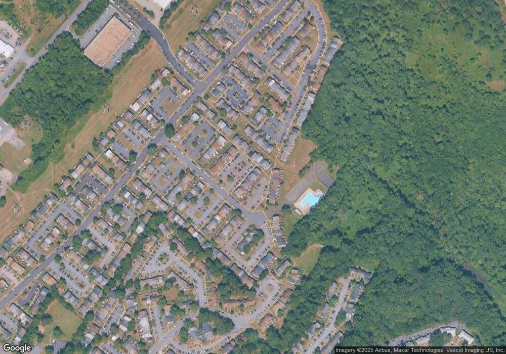
Map
Nearby Homes
- 1856 Fort Pulaski Ct
- 3681 Masthead Trail
- 3681 Dahlgren Place
- 3618 Wharf Ln
- 3615 Wharf Ln
- 3992 Shire Meadow Ln
- 17961 Main St
- 18213 Jillian Ln
- 17744 Possum Point Rd
- 17748 Possum Point Rd
- 4023 White Haven Dr
- 17979 Old Triangle Rd
- 17991 Old Triangle Rd
- 17214 Batestown Rd
- 17640 Washington St
- 17997 Old Triangle Rd
- 18307 Summit Pointe Dr
- 17718 Williams Ct
- 17708 Williams Ct
- 17716 Williams Ct
- 2113 Fort Donelson Ct
- 2117 Fort Donelson Ct
- 2111 Fort Donelson Ct
- 2119 Fort Donelson Ct
- 2109 Fort Donelson Ct
- 2107 Fort Donelson Ct
- 2105 Fort Donelson Ct
- 2123 Fort Donelson Ct
- 2121 Fort Donelson Ct
- 2125 Fort Donelson Ct
- 2127 Fort Donelson Ct
- 2103 Fort Donelson Ct
- 2012 Fort Pemberton Ct
- 2014 Fort Pemberton Ct
- 2131 Fort Donelson Ct
- 2010 Fort Pemberton Ct
- 2016 Fort Pemberton Ct
- 2008 Fort Pemberton Ct
- 2018 Fort Pemberton Ct
- 2101 Fort Donelson Ct