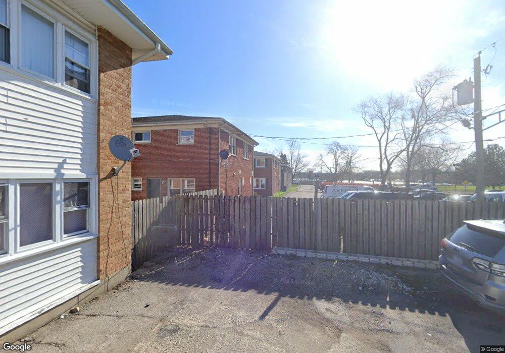
2115 Georgetown Ln Waukegan, IL 60085
Estimated Value: $135,000 - $198,000
3
Beds
2
Baths
1,200
Sq Ft
$134/Sq Ft
Est. Value
About This Home
This home is located at 2115 Georgetown Ln, Waukegan, IL 60085 and is currently estimated at $160,540, approximately $133 per square foot. 2115 Georgetown Ln is a home located in Lake County with nearby schools including Clearview Elementary School, Miguel Juarez Middle School, and Waukegan High School.
Ownership History
Date
Name
Owned For
Owner Type
Purchase Details
Closed on
Apr 1, 2011
Sold by
Vioreman Llc
Bought by
Ichou Roger
Current Estimated Value
Purchase Details
Closed on
Nov 25, 2008
Sold by
Gmac Mortgage Llc
Bought by
Vioreman Llc
Purchase Details
Closed on
Sep 29, 2008
Sold by
Leary Michaelyn
Bought by
Gmac Mortgage Llc
Purchase Details
Closed on
Feb 16, 2006
Sold by
Coleman John
Bought by
Leary Michaelyn
Purchase Details
Closed on
Feb 11, 2005
Sold by
Bank Of Waukegan
Bought by
Coleman John
Create a Home Valuation Report for This Property
The Home Valuation Report is an in-depth analysis detailing your home's value as well as a comparison with similar homes in the area
Home Values in the Area
Average Home Value in this Area
Purchase History
| Date | Buyer | Sale Price | Title Company |
|---|---|---|---|
| Ichou Roger | $49,000 | Fidelity National Title | |
| Vioreman Llc | $31,500 | First American Title | |
| Gmac Mortgage Llc | -- | None Available | |
| Leary Michaelyn | $140,000 | Ticor Title Insurance Co | |
| Coleman John | $816,000 | St |
Source: Public Records
Tax History Compared to Growth
Tax History
| Year | Tax Paid | Tax Assessment Tax Assessment Total Assessment is a certain percentage of the fair market value that is determined by local assessors to be the total taxable value of land and additions on the property. | Land | Improvement |
|---|---|---|---|---|
| 2024 | $2,555 | $33,220 | $3,041 | $30,179 |
| 2023 | $2,444 | $27,094 | $2,480 | $24,614 |
| 2022 | $2,444 | $24,998 | $3,273 | $21,725 |
| 2021 | $2,566 | $24,610 | $3,295 | $21,315 |
| 2020 | $2,599 | $22,927 | $3,070 | $19,857 |
| 2019 | $2,616 | $21,009 | $2,813 | $18,196 |
| 2018 | $2,734 | $20,598 | $3,063 | $17,535 |
| 2017 | $2,592 | $18,224 | $2,710 | $15,514 |
| 2016 | $2,447 | $15,835 | $2,118 | $13,717 |
| 2015 | $2,394 | $14,173 | $1,896 | $12,277 |
| 2014 | $1,777 | $10,504 | $1,937 | $8,567 |
| 2012 | $2,203 | $11,381 | $2,099 | $9,282 |
Source: Public Records
Map
Nearby Homes
- 2207 Williamsburg Dr
- 2008 Harding Ave
- 12352 W Atlantic Ave
- 12787 W Grove Ave
- 2105 W Grove Ave
- 2440 W Cheyenne Rd
- 1425 N Mcaree Rd
- 1913 Chippewa Rd
- 1051 Glenwood Ave
- 1038 Indiana Ave
- 1019 N Lewis Ave
- 1023 N Elmwood Ave
- 1504 W Glen Flora Ave
- 1117 Judge Ave
- 1005 N Lewis Ave
- 2712 W Grove Ave
- 2608 Menominee Rd
- 2810 W Atlantic Ave
- 1001 Judge Ave
- 1745 N Frolic Ave
- 2113 Georgetown Ln
- 2111 Georgetown Ln
- 2109 Georgetown Ln
- 2107 Georgetown Ln
- 2105 Georgetown Ln
- 2103 Georgetown Ln
- 2101 Georgetown Ln
- 2125 Georgetown Ln
- 2116 Georgetown Ln
- 2108 Georgetown Ln
- 2132 Georgetown Ln
- 2035-2045 Georgetown Ln
- 2124 Georgetown Ln
- 2035 Georgetown Ln
- 2134 Georgetown Ln
- 2100 Georgetown Ln
- 2136 Georgetown Ln
- 2136 Georgetown Ln Unit 2136
- 2138 Georgetown Ln
- 1719 N Berwick Blvd