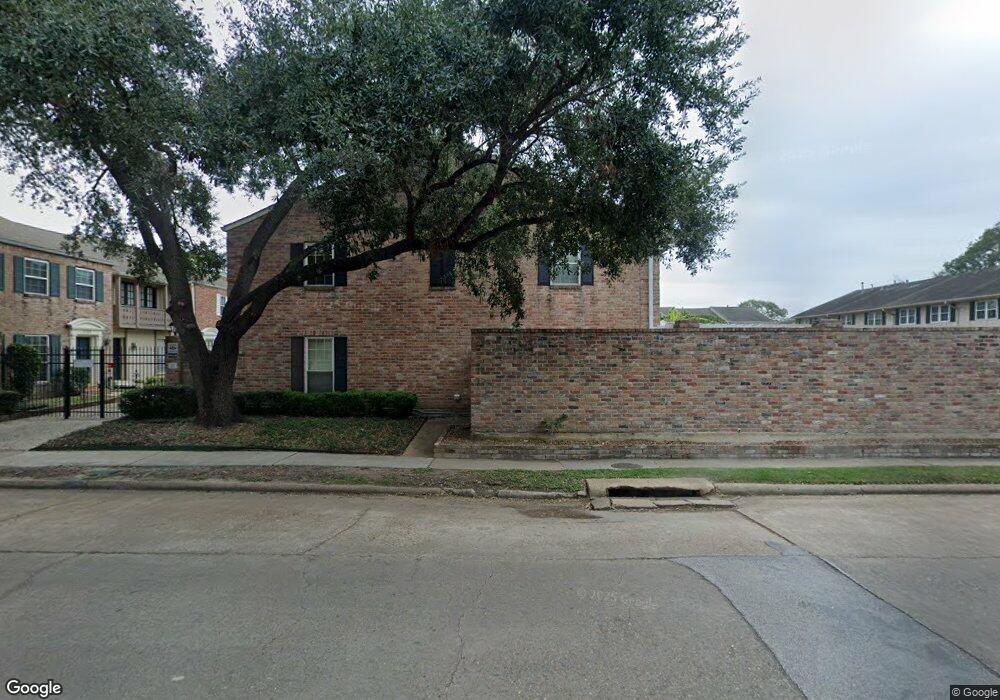
2115 Lander Ln Unit 76 Houston, TX 77057
Uptown-Galleria District NeighborhoodEstimated Value: $226,000 - $266,000
3
Beds
3
Baths
1,760
Sq Ft
$140/Sq Ft
Est. Value
About This Home
This home is located at 2115 Lander Ln Unit 76, Houston, TX 77057 and is currently estimated at $246,276, approximately $139 per square foot. 2115 Lander Ln Unit 76 is a home located in Harris County with nearby schools including Briargrove Elementary School, Tanglewood Middle, and Wisdom High School.
Ownership History
Date
Name
Owned For
Owner Type
Purchase Details
Closed on
Apr 6, 2001
Sold by
Rosenthal Barry J
Bought by
Mcgehee Mimi R
Current Estimated Value
Home Financials for this Owner
Home Financials are based on the most recent Mortgage that was taken out on this home.
Original Mortgage
$85,500
Interest Rate
7%
Purchase Details
Closed on
Dec 23, 1996
Sold by
Rosenthal Leslie Wieslander
Bought by
Wieslander Fred W
Create a Home Valuation Report for This Property
The Home Valuation Report is an in-depth analysis detailing your home's value as well as a comparison with similar homes in the area
Home Values in the Area
Average Home Value in this Area
Purchase History
| Date | Buyer | Sale Price | Title Company |
|---|---|---|---|
| Mcgehee Mimi R | -- | Lawyers Title Company | |
| Wieslander Fred W | -- | -- |
Source: Public Records
Mortgage History
| Date | Status | Borrower | Loan Amount |
|---|---|---|---|
| Closed | Mcgehee Mimi R | $85,500 |
Source: Public Records
Tax History Compared to Growth
Tax History
| Year | Tax Paid | Tax Assessment Tax Assessment Total Assessment is a certain percentage of the fair market value that is determined by local assessors to be the total taxable value of land and additions on the property. | Land | Improvement |
|---|---|---|---|---|
| 2025 | $3,283 | $231,285 | $43,944 | $187,341 |
| 2024 | $3,283 | $254,398 | $48,336 | $206,062 |
| 2023 | $3,283 | $225,044 | $42,758 | $182,286 |
| 2022 | $4,872 | $221,250 | $42,038 | $179,212 |
| 2021 | $4,805 | $206,156 | $39,170 | $166,986 |
| 2020 | $5,415 | $223,597 | $42,483 | $181,114 |
| 2019 | $5,658 | $223,597 | $42,483 | $181,114 |
| 2018 | $4,938 | $257,541 | $48,933 | $208,608 |
| 2017 | $6,438 | $257,541 | $48,933 | $208,608 |
| 2016 | $5,853 | $242,888 | $46,149 | $196,739 |
| 2015 | $3,775 | $237,850 | $45,192 | $192,658 |
| 2014 | $3,775 | $201,606 | $38,305 | $163,301 |
Source: Public Records
Map
Nearby Homes
- 2065 Winrock Blvd Unit 55
- 2059 Winrock Blvd Unit 52
- 6339 Briar Rose Dr Unit 144
- 6354 Del Monte Dr Unit 87
- 2137 Winrock Blvd Unit 26
- 6350 Briar Rose Dr Unit 185
- 6402 Del Monte Dr Unit 121
- 6402 Del Monte Dr Unit 65
- 6410 Del Monte Dr Unit 118
- 6410 Del Monte Dr Unit 102
- 6402 Del Monte Dr Unit 76
- 6402 Del Monte Dr Unit 45
- 2011 Winrock Blvd Unit 172
- 6430 Olympia Dr Unit 91
- 1901 S Voss Rd Unit 33
- 6442 Olympia Dr Unit 85
- 6427 Olympia Dr Unit 114
- 6467 Olympia Dr Unit 61
- 7502 Olympia Dr
- 6404 Burgoyne Rd Unit 159
- 2107 Lander Ln Unit 80
- 2109 Lander Ln Unit 79
- 2113 Lander Ln Unit 77
- 2117 Lander Ln Unit 75
- 2111 Lander Ln Unit 78
- 2119 Lander Ln Unit 74
- 2121 Lander Ln Unit 73
- 2121 Winrock Blvd Unit 73
- 2121 Winrock Blvd Unit 43
- 2127 Winrock Blvd Unit 37
- 2119 Winrock Blvd Unit 42
- 6346 Del Monte Dr Unit 83
- 2123 Winrock Blvd Unit 44
- 6344 Del Monte Dr Unit 82
- 2129 Winrock Blvd Unit 36
- 6350 Del Monte Dr Unit 85
- 6342 Del Monte Dr Unit 81
- 2117 Winrock Bl Unit 41
- 2103 Winrock Blvd Unit 49
- 2117 Winrock Blvd Unit 41