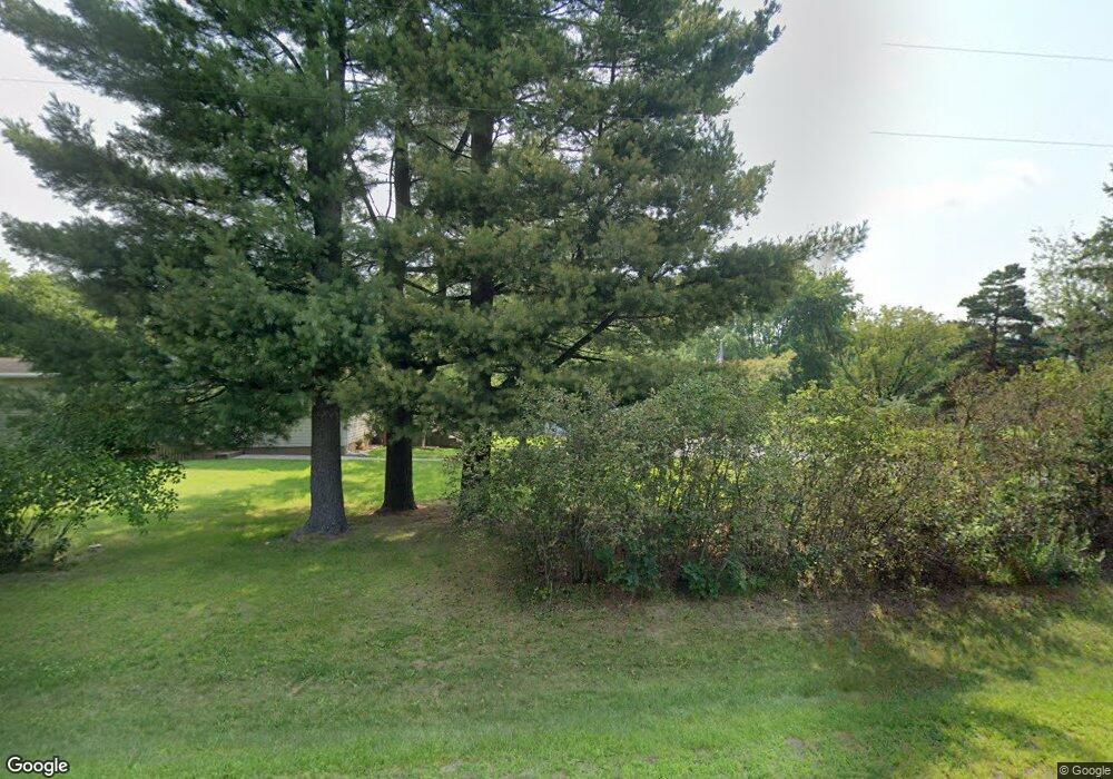
2115 N 60th Ave Eau Claire, WI 54703
Estimated Value: $319,144 - $374,000
3
Beds
2
Baths
1,404
Sq Ft
$242/Sq Ft
Est. Value
About This Home
This home is located at 2115 N 60th Ave, Eau Claire, WI 54703 and is currently estimated at $339,715, approximately $241 per square foot. 2115 N 60th Ave is a home located in Eau Claire County with nearby schools including Northwoods Elementary School, Northstar Middle School, and North High School.
Ownership History
Date
Name
Owned For
Owner Type
Purchase Details
Closed on
Sep 29, 2017
Sold by
Running Jack O and Running Sheila J
Bought by
Rrunning Brent J and Stafford Nicole J
Current Estimated Value
Purchase Details
Closed on
Nov 9, 2006
Sold by
Federal National Mortgage Association
Bought by
Siudak Anthony P and Siudak Roslyn A
Purchase Details
Closed on
Jul 18, 2006
Sold by
Adams Carl E
Bought by
Wells Fargo Bank Na
Create a Home Valuation Report for This Property
The Home Valuation Report is an in-depth analysis detailing your home's value as well as a comparison with similar homes in the area
Home Values in the Area
Average Home Value in this Area
Purchase History
| Date | Buyer | Sale Price | Title Company |
|---|---|---|---|
| Rrunning Brent J | -- | -- | |
| Siudak Anthony P | -- | None Available | |
| Wells Fargo Bank Na | -- | None Available |
Source: Public Records
Tax History Compared to Growth
Tax History
| Year | Tax Paid | Tax Assessment Tax Assessment Total Assessment is a certain percentage of the fair market value that is determined by local assessors to be the total taxable value of land and additions on the property. | Land | Improvement |
|---|---|---|---|---|
| 2024 | $2,404 | $256,400 | $69,800 | $186,600 |
| 2023 | $2,271 | $155,500 | $39,900 | $115,600 |
| 2022 | $2,176 | $155,500 | $39,900 | $115,600 |
| 2021 | $2,233 | $155,500 | $39,900 | $115,600 |
| 2020 | $2,169 | $155,500 | $39,900 | $115,600 |
| 2019 | $2,068 | $155,500 | $39,900 | $115,600 |
| 2018 | $2,069 | $155,500 | $39,900 | $115,600 |
| 2017 | $2,222 | $155,500 | $39,900 | $115,600 |
| 2016 | $2,186 | $155,500 | $39,900 | $115,600 |
| 2014 | -- | $142,000 | $33,800 | $108,200 |
| 2013 | -- | $142,000 | $33,800 | $108,200 |
Source: Public Records
Map
Nearby Homes
- Lot 3 Legacy Dr
- Lot 4 Legacy Dr
- Lot 14 Legacy Dr
- Lot 12 Legacy Dr
- Lot 7 Legacy Dr
- Lot 10 Legacy Dr
- Lot 8 Legacy Dr
- 4554 Eastland Ct
- 0 County Highway Q Unit 1590066
- 3917 N Shore Dr
- 4400 Lasalle St
- 5839 N Shore Dr
- 4786 N Shore Dr
- 0 Bullhead Pond Dr
- 4337 Heritage Dr
- 4301 Heritage Dr
- 2623 Eagle Terrace
- 2628 Eagle Terrace
- 4216 Heritage Dr
- Lot 2 Olson Dr
- 6009 Burnell Dr
- 2015 N 60th Ave
- 2011 N 60th Ave
- 2100 N 60th Ave
- 2100 N 60th Ave
- Lot 3 Burnell Dr
- 1975 N 60th Ave
- 2652 N 60th Ave
- 1915 N 60th Ave
- 1900 N 60th Ave
- 1933 N 62nd Ave Unit 35
- 1929 N 62nd Ave
- 2104 N 65th Ave
- 1809 N 60th Ave
- 1812 N 60th Ave
- 5731 Burnell Dr
- 2230 N 65th Ave
- 6108 Olson Dr
- 5703 Burnell Dr
- 6100 Olson Dr
