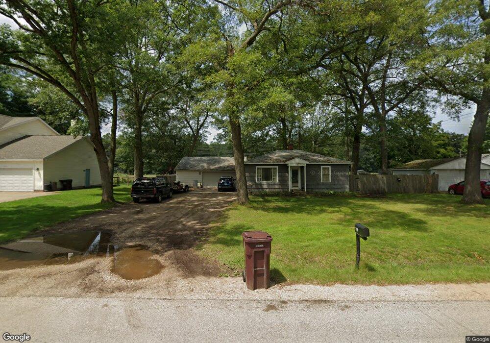
2115 S Dangl Rd Muskegon, MI 49442
Estimated Value: $142,000 - $210,000
2
Beds
1
Bath
768
Sq Ft
$213/Sq Ft
Est. Value
About This Home
This home is located at 2115 S Dangl Rd, Muskegon, MI 49442 and is currently estimated at $163,554, approximately $212 per square foot. 2115 S Dangl Rd is a home located in Muskegon County with nearby schools including Orchard View Early Elementary School, Cardinal Elementary School, and Orchard View Middle School.
Ownership History
Date
Name
Owned For
Owner Type
Purchase Details
Closed on
Jan 21, 2005
Sold by
Black Melvin L and Black Joyce A
Bought by
Malek John and Malek Amy
Current Estimated Value
Home Financials for this Owner
Home Financials are based on the most recent Mortgage that was taken out on this home.
Original Mortgage
$64,000
Outstanding Balance
$31,239
Interest Rate
5.25%
Mortgage Type
Unknown
Estimated Equity
$132,315
Purchase Details
Closed on
Dec 21, 2004
Sold by
National City Bank Of The Midwest
Bought by
Black Melvin L
Home Financials for this Owner
Home Financials are based on the most recent Mortgage that was taken out on this home.
Original Mortgage
$64,000
Outstanding Balance
$31,239
Interest Rate
5.25%
Mortgage Type
Unknown
Estimated Equity
$132,315
Create a Home Valuation Report for This Property
The Home Valuation Report is an in-depth analysis detailing your home's value as well as a comparison with similar homes in the area
Home Values in the Area
Average Home Value in this Area
Purchase History
| Date | Buyer | Sale Price | Title Company |
|---|---|---|---|
| Malek John | -- | -- | |
| Black Melvin L | $44,900 | -- |
Source: Public Records
Mortgage History
| Date | Status | Borrower | Loan Amount |
|---|---|---|---|
| Open | Malek John | $64,000 |
Source: Public Records
Tax History Compared to Growth
Tax History
| Year | Tax Paid | Tax Assessment Tax Assessment Total Assessment is a certain percentage of the fair market value that is determined by local assessors to be the total taxable value of land and additions on the property. | Land | Improvement |
|---|---|---|---|---|
| 2025 | $1,530 | $54,900 | $0 | $0 |
| 2024 | $287 | $50,900 | $0 | $0 |
| 2023 | $274 | $42,300 | $0 | $0 |
| 2022 | $1,284 | $33,900 | $0 | $0 |
| 2021 | $1,276 | $29,600 | $0 | $0 |
| 2020 | $1,477 | $27,600 | $0 | $0 |
| 2019 | $1,271 | $25,100 | $0 | $0 |
| 2018 | $1,219 | $24,800 | $0 | $0 |
| 2017 | $1,270 | $24,500 | $0 | $0 |
| 2016 | $234 | $22,800 | $0 | $0 |
| 2015 | -- | $21,600 | $0 | $0 |
| 2014 | -- | $20,600 | $0 | $0 |
| 2013 | -- | $19,400 | $0 | $0 |
Source: Public Records
Map
Nearby Homes
- 2362 Debaker Rd
- 3626 E Laketon Ave
- 1476 Frost St
- VL Olthoff Dr
- 3878 E Laketon Ave
- 2449 E Laketon Ave
- 2852 Devowe St
- 1907 S Brooks Rd
- 2325 S Sheridan Dr
- 2054 Ironwood Ct W
- 2576 Vine Ave
- 2125 Woodward St
- 1946 Spyglass Trail
- 2048 Center St
- 2049 Center St
- 1978 Colonial Ln
- 2488 E Broadway Ave
- 1832 Pepperwood Trail S
- 1441 S Brooks Rd
- 4210 Tasal Trail
- 2137 S Dangl Rd
- 2145 S Dangl Rd
- 2077 S Dangl Rd
- 2110 S Dangl Rd
- 2126 S Dangl Rd
- 2140 S Dangl Rd
- 2078 S Dangl Rd
- 2159 S Dangl Rd
- 2065 S Dangl Rd
- 2154 S Dangl Rd
- 2047 S Dangl Rd
- 2171 S Dangl Rd
- 2048 S Dangl Rd
- 3214 Evanston Ave
- 3226 Evanston Ave
- 2035 S Dangl Rd
- 2034 S Dangl Rd
- 3238 Evanston Ave
- 2018 S Dangl Rd
- 3250 Evanston Ave