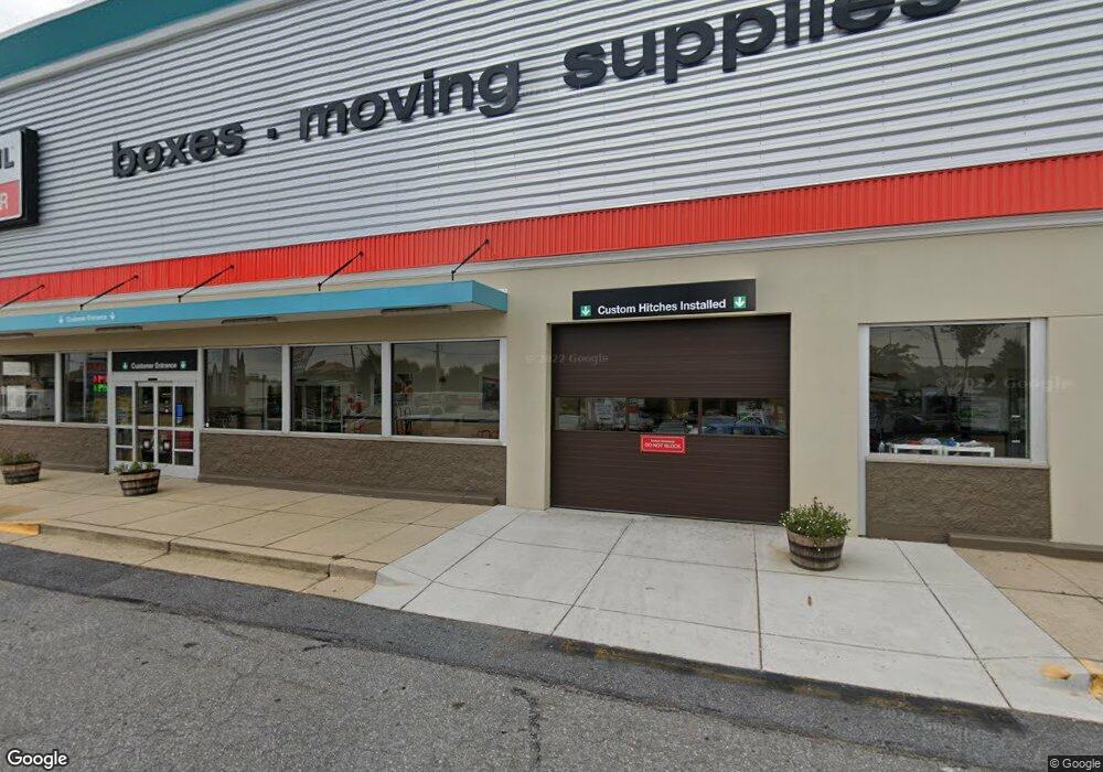
2115 West St Annapolis, MD 21401
Parole NeighborhoodEstimated Value: $9,340,641
Studio
--
Bath
42,260
Sq Ft
$221/Sq Ft
Est. Value
About This Home
This home is located at 2115 West St, Annapolis, MD 21401 and is currently estimated at $9,340,641, approximately $221 per square foot. 2115 West St is a home located in Anne Arundel County with nearby schools including Rolling Knolls Elementary School, Wiley H. Bates Middle School, and Annapolis High School.
Ownership History
Date
Name
Owned For
Owner Type
Purchase Details
Closed on
Mar 1, 2019
Sold by
Tru Trust 2016 Llc
Bought by
Amerco Real Estate Company
Current Estimated Value
Purchase Details
Closed on
Feb 27, 2019
Sold by
Tru Trust 2016 Llc
Bought by
2115 West Llc
Purchase Details
Closed on
Aug 30, 2018
Sold by
Toys R Us Property Company Ii Llc
Bought by
Tru Trust 2016 Llc
Create a Home Valuation Report for This Property
The Home Valuation Report is an in-depth analysis detailing your home's value as well as a comparison with similar homes in the area
Home Values in the Area
Average Home Value in this Area
Purchase History
| Date | Buyer | Sale Price | Title Company |
|---|---|---|---|
| Amerco Real Estate Company | $6,256,250 | Chicago Title Insurance Co | |
| 2115 West Llc | $243,750 | Chicago Title Insurance Co | |
| Tru Trust 2016 Llc | $6,375,464 | Chicago Title Insurance Co |
Source: Public Records
Tax History
| Year | Tax Paid | Tax Assessment Tax Assessment Total Assessment is a certain percentage of the fair market value that is determined by local assessors to be the total taxable value of land and additions on the property. | Land | Improvement |
|---|---|---|---|---|
| 2025 | $93,223 | $8,304,400 | $4,968,000 | $3,336,400 |
| 2024 | $93,223 | $8,304,400 | $4,968,000 | $3,336,400 |
Source: Public Records
Map
Nearby Homes
- 1915 Towne Centre Blvd Unit 1001
- 1915 Towne Centre Blvd Unit 301
- 1915 Towne Centre Blvd Unit 807
- 1915 Towne Centre Blvd Unit 309
- 1915 Towne Centre Blvd Unit 406
- 1915 Towne Centre Blvd Unit 707
- 1915 Towne Centre Blvd Unit 402
- 208 Sellew Rd
- 109 Sellew Rd
- 108 Sellew Rd
- 606 James Walker Place
- 2175 Glencrest Cir
- 14 A Dorsey Ave
- 1976 Scotts Crossing Way Unit 1
- 524 Ridge Rd
- 8 Dorsey Ave
- 629 Admiral Dr Unit U206
- 633 Admiral Dr Unit 308
- 12 Harbour Heights Dr
- 34 Harbour Heights Dr
Your Personal Tour Guide
Ask me questions while you tour the home.