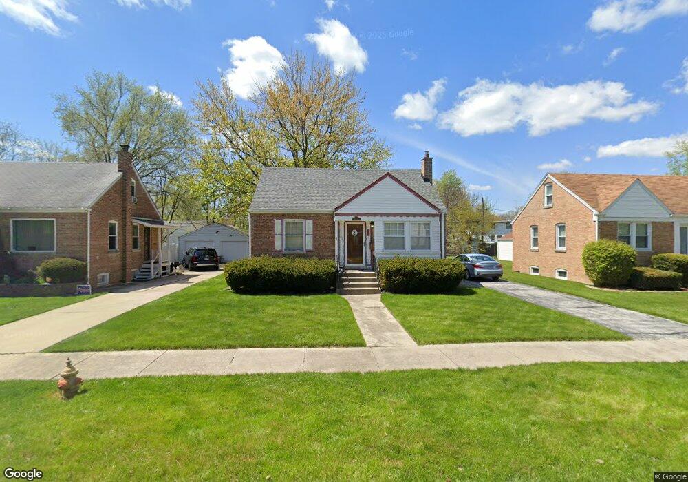
21154 Locust St Matteson, IL 60443
Old Matteson NeighborhoodEstimated Value: $176,000 - $205,435
3
Beds
2
Baths
750
Sq Ft
$254/Sq Ft
Est. Value
About This Home
This home is located at 21154 Locust St, Matteson, IL 60443 and is currently estimated at $190,859, approximately $254 per square foot. 21154 Locust St is a home located in Cook County with nearby schools including Illinois School, Matteson Elementary School, and Sauk Elementary School.
Ownership History
Date
Name
Owned For
Owner Type
Purchase Details
Closed on
Dec 18, 2006
Sold by
Griffiths Jill M and Mcavoy Jill M
Bought by
Mcavoy Jill M
Current Estimated Value
Home Financials for this Owner
Home Financials are based on the most recent Mortgage that was taken out on this home.
Original Mortgage
$87,000
Interest Rate
6.24%
Mortgage Type
New Conventional
Create a Home Valuation Report for This Property
The Home Valuation Report is an in-depth analysis detailing your home's value as well as a comparison with similar homes in the area
Home Values in the Area
Average Home Value in this Area
Purchase History
| Date | Buyer | Sale Price | Title Company |
|---|---|---|---|
| Mcavoy Jill M | -- | Law Title Joliet |
Source: Public Records
Mortgage History
| Date | Status | Borrower | Loan Amount |
|---|---|---|---|
| Closed | Mcavoy Jill M | $87,000 |
Source: Public Records
Tax History Compared to Growth
Tax History
| Year | Tax Paid | Tax Assessment Tax Assessment Total Assessment is a certain percentage of the fair market value that is determined by local assessors to be the total taxable value of land and additions on the property. | Land | Improvement |
|---|---|---|---|---|
| 2024 | $5,243 | $16,000 | $2,904 | $13,096 |
| 2023 | $2,356 | $16,000 | $2,904 | $13,096 |
| 2022 | $2,356 | $7,763 | $2,541 | $5,222 |
| 2021 | $2,437 | $7,762 | $2,541 | $5,221 |
| 2020 | $2,373 | $7,762 | $2,541 | $5,221 |
| 2019 | $3,269 | $9,746 | $2,359 | $7,387 |
| 2018 | $3,266 | $9,746 | $2,359 | $7,387 |
| 2017 | $3,165 | $9,746 | $2,359 | $7,387 |
| 2016 | $3,251 | $9,109 | $2,178 | $6,931 |
| 2015 | $3,161 | $9,109 | $2,178 | $6,931 |
| 2014 | $3,088 | $9,109 | $2,178 | $6,931 |
| 2013 | $3,468 | $10,665 | $2,178 | $8,487 |
Source: Public Records
Map
Nearby Homes
- 21142 Locust St
- 3718 211th Place
- 21209 Oak St
- 3712 214th St
- 3727 214th Place Unit 2
- 3704 215th St Unit 205
- 3919 214th St
- 549 Homan Ave
- 3809 215th St
- 20852 Greenwood Dr
- 410 Gettysburg St
- 305 Jackson St
- 3762 216th Place
- 508 Davis St
- 21607 Main St
- 820 Exmoor Rd
- 120 Indiana St
- 3865 216th St
- 307 Gettysburg St
- 3135 Nottingham Ct
- 21202 Locust St
- 21150 Locust St
- 21208 Locust St
- 21146 Locust St
- 21155 Maple St
- 21201 Maple St
- 21151 Maple St
- 21212 Locust St
- 21207 Maple St
- 21153 Maple St
- 21201 Locust St
- 21149 Locust St
- 21149 Maple St
- 21211 Maple St
- 21145 Locust St
- 21138 Locust St
- 21217 Maple St
- 3704 212th Place
- 21218 Locust St
- 21141 Locust St