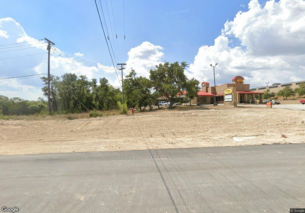
21155 State Highway 46 W Spring Branch, TX 78070
Estimated Value: $3,571,384
--
Bed
--
Bath
20,349
Sq Ft
$176/Sq Ft
Est. Value
About This Home
This home is located at 21155 State Highway 46 W, Spring Branch, TX 78070 and is currently estimated at $3,571,384, approximately $175 per square foot. 21155 State Highway 46 W is a home located in Comal County with nearby schools including Arlon R Seay Elementary School, Spring Branch Middle School, and Smithson Valley High School.
Ownership History
Date
Name
Owned For
Owner Type
Purchase Details
Closed on
Dec 29, 2014
Sold by
Joshua 1 7 Investments Llc
Bought by
Salof Properties Llc
Current Estimated Value
Purchase Details
Closed on
Mar 2, 2007
Sold by
Hickenbottom Michael S and Hickenbottom Rebecca M
Bought by
Joshua 1:7 Investments Llc
Home Financials for this Owner
Home Financials are based on the most recent Mortgage that was taken out on this home.
Original Mortgage
$2,351,143
Interest Rate
6.25%
Mortgage Type
Commercial
Create a Home Valuation Report for This Property
The Home Valuation Report is an in-depth analysis detailing your home's value as well as a comparison with similar homes in the area
Home Values in the Area
Average Home Value in this Area
Purchase History
| Date | Buyer | Sale Price | Title Company |
|---|---|---|---|
| Salof Properties Llc | -- | Alamo Title Co | |
| Joshua 1:7 Investments Llc | -- | Lalt |
Source: Public Records
Mortgage History
| Date | Status | Borrower | Loan Amount |
|---|---|---|---|
| Previous Owner | Joshua 1:7 Investments Llc | $2,351,143 |
Source: Public Records
Tax History Compared to Growth
Tax History
| Year | Tax Paid | Tax Assessment Tax Assessment Total Assessment is a certain percentage of the fair market value that is determined by local assessors to be the total taxable value of land and additions on the property. | Land | Improvement |
|---|---|---|---|---|
| 2025 | $51,386 | $2,847,023 | $1,109,980 | $1,737,043 |
| 2024 | $51,386 | $2,935,075 | $1,309,883 | $1,625,192 |
| 2023 | $51,386 | $2,679,950 | $1,178,908 | $1,501,042 |
| 2022 | $46,206 | $2,672,930 | $1,315,020 | $1,357,910 |
| 2021 | $49,865 | $2,495,270 | $457,510 | $2,037,760 |
| 2020 | $39,092 | $1,890,400 | $457,380 | $1,433,020 |
| 2019 | $32,867 | $1,578,070 | $457,380 | $1,120,690 |
| 2018 | $30,726 | $1,481,400 | $457,380 | $1,024,020 |
| 2017 | $29,399 | $1,428,910 | $457,380 | $971,530 |
| 2016 | $29,906 | $1,453,560 | $457,380 | $996,180 |
| 2015 | $32,336 | $1,563,110 | $457,380 | $1,105,730 |
| 2014 | $32,336 | $1,574,500 | $457,380 | $1,117,120 |
Source: Public Records
Map
Nearby Homes
- 21525 State Highway 46 W
- 811 Stirrup Dr
- 629 Windmill Ranch Rd
- 0 Windmill Way Unit 1853082
- 288 Sonata Canyon
- 164 Grey Bluff
- 329 Chorus Canyon
- 221 Treble Knoll
- 225 Treble Knoll
- 537 Allegro Edge
- 324 Rhapsody Ridge
- 313 Canon Hill Dr
- 333 Canon Hill Dr
- 517 Concerto Ct
- 513 Concerto Ct
- 960 Elm Valley Dr
- 1476 Flightline
- 0 Ahern Creek Dr
- 428 Whistlers Way
- 316 Ballad Bluffs
- 00 46 Hwy
- 15090 46 Hwy
- 13966 46 Hwy
- 14014 State Highway 46 W
- 22066 46 Hwy
- 196 Alegrita Ln
- 164 Algerita Ln
- 175 Algerita Ln
- 126 Farhills Dr
- 183 Lazy Meadows
- 183 Lazy Meadows
- 191 Lazy Meadows
- 21471 State Highway 46 W
- 264 Farhills Dr
- 190 Lazy Meadows
- 190 Lazy Meadow
- 129 Farhills Dr
- 215 Farhills Dr
- 1650 Old Boerne Rd
- 903 Stirrup Dr
