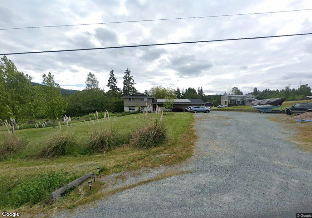
21159 Bulson Rd Mount Vernon, WA 98274
Estimated Value: $997,000 - $1,218,000
6
Beds
3
Baths
3,632
Sq Ft
$305/Sq Ft
Est. Value
About This Home
This home is located at 21159 Bulson Rd, Mount Vernon, WA 98274 and is currently estimated at $1,108,265, approximately $305 per square foot. 21159 Bulson Rd is a home located in Skagit County with nearby schools including Conway School.
Ownership History
Date
Name
Owned For
Owner Type
Purchase Details
Closed on
Jul 7, 2021
Sold by
Roth Eugene T and Roth Mary M
Bought by
Hults Lawrence L and Hults Gloria S
Current Estimated Value
Home Financials for this Owner
Home Financials are based on the most recent Mortgage that was taken out on this home.
Original Mortgage
$825,000
Outstanding Balance
$748,560
Interest Rate
2.9%
Mortgage Type
New Conventional
Estimated Equity
$359,705
Create a Home Valuation Report for This Property
The Home Valuation Report is an in-depth analysis detailing your home's value as well as a comparison with similar homes in the area
Home Values in the Area
Average Home Value in this Area
Purchase History
| Date | Buyer | Sale Price | Title Company |
|---|---|---|---|
| Hults Lawrence L | $900,000 | Chicago Title |
Source: Public Records
Mortgage History
| Date | Status | Borrower | Loan Amount |
|---|---|---|---|
| Open | Hults Lawrence L | $825,000 |
Source: Public Records
Tax History Compared to Growth
Tax History
| Year | Tax Paid | Tax Assessment Tax Assessment Total Assessment is a certain percentage of the fair market value that is determined by local assessors to be the total taxable value of land and additions on the property. | Land | Improvement |
|---|---|---|---|---|
| 2024 | $7,623 | $917,400 | $288,900 | $628,500 |
| 2023 | $7,623 | $845,800 | $270,000 | $575,800 |
| 2022 | $5,868 | $759,800 | $276,000 | $483,800 |
| 2021 | $5,823 | $591,000 | $211,300 | $379,700 |
| 2020 | $5,421 | $542,500 | $0 | $0 |
| 2019 | $4,625 | $503,300 | $0 | $0 |
| 2018 | $5,224 | $435,400 | $0 | $0 |
| 2017 | $4,497 | $415,400 | $0 | $0 |
| 2016 | $4,338 | $359,100 | $136,000 | $223,100 |
| 2015 | $3,877 | $335,200 | $126,900 | $208,300 |
| 2013 | $3,975 | $277,000 | $0 | $0 |
Source: Public Records
Map
Nearby Homes
- 20616 Bulson Rd
- 19687 Trophy Ln
- 22414 Bulson Rd
- 22539 Fieldstone Ln
- 18520 Main St
- 0 Milltown Crossing Rd Unit NWM2358059
- 23158 Bonnieview Rd
- 20434 Benson Ridge
- 20519 Benson Ridge Ln
- 20555 Benson Ridge
- 21314 Starbird Rd
- 17406 Fir Island Rd
- 0 XX 00
- 18340 Osprey Ct
- 18345 Osprey Ct
- 0 Cedardale Rd Unit 11749606
- 18524 Swanson Ln
- 33020 84th Ave NW
- 32210 68th Ave NW
- 23330 State Route 534
- 21154 Bulson Rd
- 21181 Bulson Rd
- 21166 Bulson Rd
- 21121 Bulson Rd
- 21178 Bulson Rd
- 21110 Bulson Rd
- 21237 Bulson Rd
- 21127 Bulson Rd
- 19975 Karla Ct
- 19984 Karla Ct
- 21086 Bulson Rd
- 21047 Bulson Rd
- 21252 Bulson Rd
- 21060 Bulson Rd
- 20132 State Route 534
- 21296 Bulson Rd
- 19907 Karla Ct
- 19902 Karla Ct
- 21326 Bulson Rd
- 19940 State Route 534