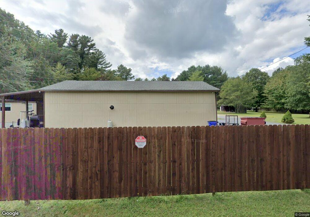
2116 Blossom Rd Unit 1 Westport, MA 02790
Estimated Value: $704,000 - $757,000
3
Beds
1
Bath
1,872
Sq Ft
$387/Sq Ft
Est. Value
About This Home
This home is located at 2116 Blossom Rd Unit 1, Westport, MA 02790 and is currently estimated at $725,141, approximately $387 per square foot. 2116 Blossom Rd Unit 1 is a home located in Bristol County with nearby schools including North End Elementary School, Morton Middle School, and B M C Durfee High School.
Ownership History
Date
Name
Owned For
Owner Type
Purchase Details
Closed on
May 30, 2025
Sold by
Astle Steven R
Bought by
Medeiros John D and Carmichael Jackelyn A
Current Estimated Value
Home Financials for this Owner
Home Financials are based on the most recent Mortgage that was taken out on this home.
Original Mortgage
$682,000
Outstanding Balance
$679,077
Interest Rate
6.83%
Mortgage Type
Purchase Money Mortgage
Estimated Equity
$46,064
Purchase Details
Closed on
Jan 7, 2014
Sold by
Astle Pauline
Bought by
Astle Steven R
Purchase Details
Closed on
Oct 10, 2003
Sold by
Conroy Joseph H and Conroy Roberta C
Bought by
Astle Daniel and Astle Pauline
Create a Home Valuation Report for This Property
The Home Valuation Report is an in-depth analysis detailing your home's value as well as a comparison with similar homes in the area
Home Values in the Area
Average Home Value in this Area
Purchase History
| Date | Buyer | Sale Price | Title Company |
|---|---|---|---|
| Medeiros John D | $730,000 | None Available | |
| Medeiros John D | $730,000 | None Available | |
| Astle Steven R | -- | -- | |
| Astle Daniel | $230,000 | -- | |
| Astle Steven R | -- | -- | |
| Astle Daniel | $230,000 | -- |
Source: Public Records
Mortgage History
| Date | Status | Borrower | Loan Amount |
|---|---|---|---|
| Open | Medeiros John D | $682,000 | |
| Closed | Medeiros John D | $682,000 | |
| Previous Owner | Astle Daniel | $100,300 | |
| Previous Owner | Astle Daniel | $20,000 |
Source: Public Records
Tax History Compared to Growth
Tax History
| Year | Tax Paid | Tax Assessment Tax Assessment Total Assessment is a certain percentage of the fair market value that is determined by local assessors to be the total taxable value of land and additions on the property. | Land | Improvement |
|---|---|---|---|---|
| 2025 | $5,533 | $483,200 | $202,400 | $280,800 |
| 2024 | $5,264 | $458,100 | $195,200 | $262,900 |
| 2023 | $5,214 | $424,900 | $171,000 | $253,900 |
| 2022 | $4,806 | $380,800 | $160,900 | $219,900 |
| 2021 | $4,867 | $351,900 | $161,400 | $190,500 |
| 2020 | $4,861 | $336,400 | $161,700 | $174,700 |
| 2019 | $4,833 | $331,500 | $164,000 | $167,500 |
| 2018 | $4,618 | $315,900 | $164,000 | $151,900 |
| 2017 | $4,227 | $301,900 | $151,800 | $150,100 |
| 2016 | $4,047 | $296,900 | $151,800 | $145,100 |
| 2015 | $3,942 | $301,400 | $151,800 | $149,600 |
| 2014 | $3,676 | $292,200 | $142,600 | $149,600 |
Source: Public Records
Map
Nearby Homes
- 55 Lynch Ln
- 36 Fordney St
- 168 Windsor St
- 44 Fenmore St
- 1796 Locust St
- 350 Doherty St
- 200 David St
- 128 Old Bedford Rd
- 309 Yellow Hill Rd
- 201 Montgomery Cir
- 1739 Meridian St
- 230 College Park Rd
- 89 Lafayette St
- 189 Lemuel St
- 85 Reney St
- 235 Chavenson St
- 448 Nichols St
- 125 Angell St
- 219 Earle St Unit 3
- 217 Earle St Unit 2
- 2089 Blossom Rd
- 2107 Blossom Rd
- 2000 Blossom Rd
- 1985 Blossom Rd
- 1920 Blossom Rd
- 1925 Blossom Rd
- 1825 Blossom Rd
- 1820 Blossom Rd
- 1787 Blossom Rd
- 1757 Blossom Rd
- 1739 Blossom Rd
- 1745 Blossom Rd
- 294 Indian Town Rd
- 292 Indian Town Rd
- 292 Indian Town Rd
- 285 Indian Town Rd
- 296 Indian Town Rd
- 296B Indian Town Rd
- 297 Indian Town Rd
- 298 Indian Town Rd