Estimated Value: $273,755 - $338,000
3
Beds
3
Baths
2,119
Sq Ft
$147/Sq Ft
Est. Value
About This Home
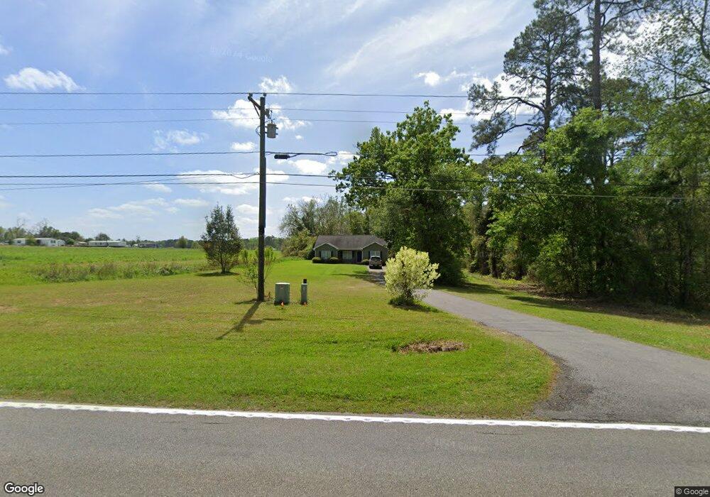
This home is located at 2116 Ga Highway 188 N, Cairo, GA 39827 and is currently estimated at $312,189, approximately $147 per square foot. 2116 Ga Highway 188 N is a home with nearby schools including Cairo High School.
Ownership History
Date
Name
Owned For
Owner Type
Purchase Details
Closed on
Jul 11, 2011
Sold by
Harrison Carl W
Bought by
Harrison Adrienne R and Harrison Jarrett L
Current Estimated Value
Purchase Details
Closed on
Oct 23, 1996
Sold by
Tilley John S
Bought by
Harrison Carl W
Purchase Details
Closed on
Nov 3, 1987
Bought by
Tilley John S
Create a Home Valuation Report for This Property
The Home Valuation Report is an in-depth analysis detailing your home's value as well as a comparison with similar homes in the area
Home Values in the Area
Average Home Value in this Area
Purchase History
| Date | Buyer | Sale Price | Title Company |
|---|---|---|---|
| Harrison Adrienne R | -- | -- | |
| Harrison Carl W | $20,000 | -- | |
| Tilley John S | $10,000 | -- |
Source: Public Records
Tax History Compared to Growth
Tax History
| Year | Tax Paid | Tax Assessment Tax Assessment Total Assessment is a certain percentage of the fair market value that is determined by local assessors to be the total taxable value of land and additions on the property. | Land | Improvement |
|---|---|---|---|---|
| 2024 | $3,120 | $101,411 | $1,854 | $99,557 |
| 2023 | $1,728 | $56,130 | $2,016 | $54,114 |
| 2022 | $1,728 | $56,130 | $2,016 | $54,114 |
| 2021 | $1,734 | $56,130 | $2,016 | $54,114 |
| 2020 | $1,739 | $56,130 | $2,016 | $54,114 |
| 2019 | $1,739 | $56,130 | $2,016 | $54,114 |
| 2018 | $1,633 | $56,130 | $2,016 | $54,114 |
| 2017 | $1,554 | $56,130 | $2,016 | $54,114 |
| 2016 | $1,351 | $48,487 | $2,016 | $46,471 |
| 2015 | $1,092 | $39,696 | $2,016 | $37,680 |
| 2014 | $1,094 | $39,696 | $2,016 | $37,680 |
| 2013 | -- | $36,350 | $3,600 | $32,750 |
Source: Public Records
Map
Nearby Homes
- 0 NE Airport Rd Unit 145784
- 00 State Route 188
- 0 State Route 188
- 3109 U S 84
- 3109 U S 84
- 414 Woodland Rd
- 2600 U S 84
- 78.6 Ac Strickland Rd
- 0 20th St NE
- 00 20th St NE
- 66 22nd St NE
- 21 24th St NE
- 00 NW 9th Ave
- 00 #10 Oak Bend Circle 4 38 Acres
- 3136 State Route 188
- 711 2nd Ave NE
- Lot #15, 3 64 Acres Oakbend Cir
- 2975 U S 84
- 4761 Hadley Ferry Rd
- 1420 Parallel Dr NW
- 111 Wood Duck Dr
- 129 Wood Duck Dr
- 2155 Ga Highway 188 N
- 2066 Ga Highway 188 N
- 145 Wood Duck Dr
- 110 Shellcracker Dr
- 157 Wood Duck Dr
- 2193 Ga Highway 188 N
- Lot # 6 Wood Duck Ln
- 00 Wood Duck Ln
- 000 Wood Duck Ln
- 171 Wood Duck Dr
- 124 Shellcracker Dr
- 162 Wood Duck Dr
- 708 Airport Rd
- 113 Shellcracker Dr
- 138 Shellcracker Dr
- 133 Shellcracker Dr
- Lot 6 Shellcracker Dr
- 181 Wood Duck Dr