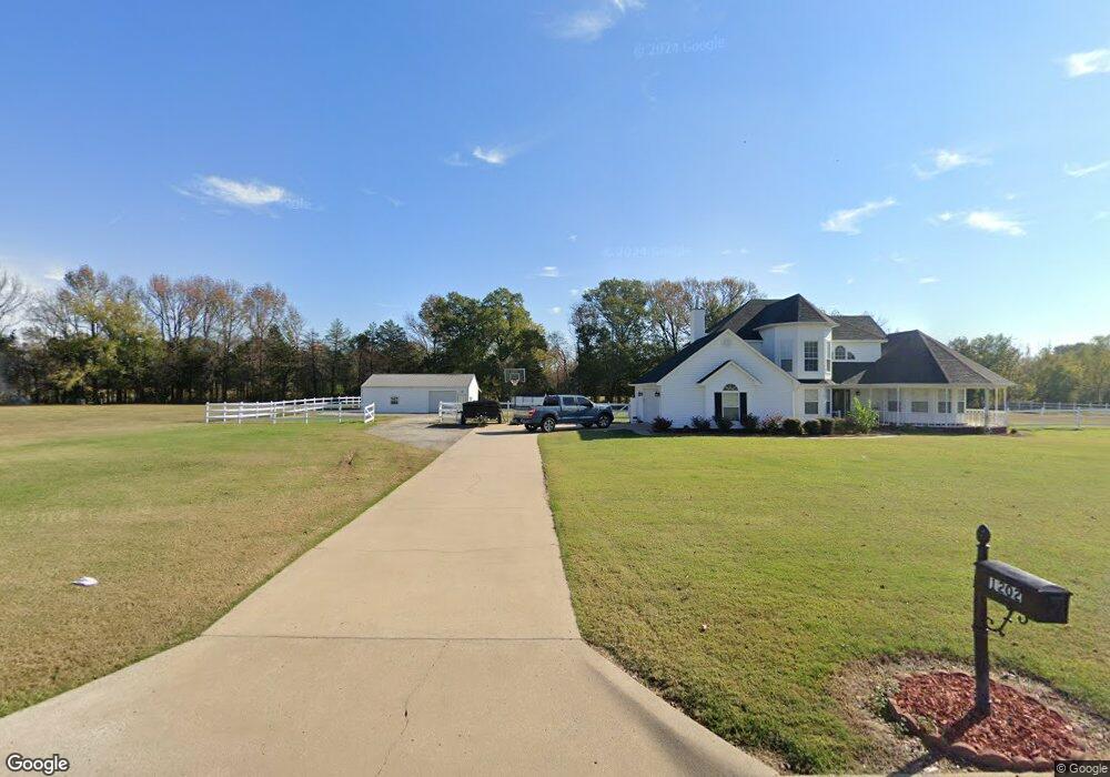
2116 Mulberry Highway 64 W Mulberry, AR 72947
Estimated Value: $143,000 - $265,900
--
Bed
2
Baths
873
Sq Ft
$230/Sq Ft
Est. Value
About This Home
This home is located at 2116 Mulberry Highway 64 W, Mulberry, AR 72947 and is currently estimated at $201,225, approximately $230 per square foot. 2116 Mulberry Highway 64 W is a home located in Crawford County with nearby schools including Marvin Primary School, Pleasant View Junior High School, and Mulberry High School.
Ownership History
Date
Name
Owned For
Owner Type
Purchase Details
Closed on
Feb 5, 2024
Sold by
Virgila Dale Enterprises Inc
Bought by
Reynolds Virgila
Current Estimated Value
Home Financials for this Owner
Home Financials are based on the most recent Mortgage that was taken out on this home.
Original Mortgage
$106,100
Outstanding Balance
$104,121
Interest Rate
6.61%
Mortgage Type
New Conventional
Estimated Equity
$97,104
Purchase Details
Closed on
Apr 24, 2017
Sold by
Guilbeau Rondal and Guilbeau Sharon Kay
Bought by
Virgila Enterprise Inc
Home Financials for this Owner
Home Financials are based on the most recent Mortgage that was taken out on this home.
Original Mortgage
$195,000
Interest Rate
4.23%
Mortgage Type
Future Advance Clause Open End Mortgage
Purchase Details
Closed on
May 9, 1994
Bought by
Shepard-Squires
Create a Home Valuation Report for This Property
The Home Valuation Report is an in-depth analysis detailing your home's value as well as a comparison with similar homes in the area
Home Values in the Area
Average Home Value in this Area
Purchase History
| Date | Buyer | Sale Price | Title Company |
|---|---|---|---|
| Reynolds Virgila | -- | None Listed On Document | |
| Virgila Enterprise Inc | $90,000 | Western Arkansas Title Servi | |
| Shepard-Squires | $80,000 | -- |
Source: Public Records
Mortgage History
| Date | Status | Borrower | Loan Amount |
|---|---|---|---|
| Open | Reynolds Virgila | $106,100 | |
| Previous Owner | Virgila Enterprise Inc | $195,000 |
Source: Public Records
Tax History Compared to Growth
Tax History
| Year | Tax Paid | Tax Assessment Tax Assessment Total Assessment is a certain percentage of the fair market value that is determined by local assessors to be the total taxable value of land and additions on the property. | Land | Improvement |
|---|---|---|---|---|
| 2025 | $802 | $31,990 | $2,690 | $29,300 |
| 2024 | $843 | $31,990 | $2,690 | $29,300 |
| 2023 | $1,285 | $31,990 | $2,690 | $29,300 |
| 2022 | $1,168 | $22,380 | $2,180 | $20,200 |
| 2021 | $554 | $11,380 | $2,180 | $9,200 |
| 2020 | $554 | $11,380 | $2,180 | $9,200 |
| 2019 | $554 | $11,380 | $2,180 | $9,200 |
| 2018 | $554 | $11,380 | $2,180 | $9,200 |
| 2017 | $296 | $13,780 | $2,070 | $11,710 |
| 2016 | $296 | $13,780 | $2,070 | $11,710 |
| 2015 | $296 | $13,780 | $2,070 | $11,710 |
| 2014 | $646 | $13,780 | $2,070 | $11,710 |
Source: Public Records
Map
Nearby Homes
- TBD (lot 30) Keystone Dr
- TBD (lot 29) Keystone Dr
- TBD Mulberry Wire Rd
- 2826 Mulberry Highway 64 W
- 2034 Mulberry Wire Rd
- 3042 Mulberry Highway 64 W
- 3032 King Dr
- 3218 Mulberry Wire Rd
- TBD Exsorbet Dr
- TBD Industrial Park Dr
- 2150 Old Graphic St
- TBD Duncan Rd
- 10110 Booth Rd
- 206 W 5th St
- 770 Church Ave
- 519 Church Ave
- 210 W 2nd St
- 1046 Pleasant Hill Rd
- 101 Reynolds St
- 505 Hatley Dr
- 1202 Keystone Loop
- 1115 Old Graphic St
- 1226 Keystone Loop
- 2020 Mulberry Highway 64 W
- 1217 Keystone Loop
- 2206 Keystone Cir
- 1304 Keystone Loop
- 1934 Mulberry Highway 64 W
- 2002 Mulberry Highway 64 W
- 1123 Old Graphic St
- 1934 U S 64
- 2035 Mulberry Highway 64 W
- 1141 Old Graphic St
- 1175 Old Graphic St
- TBD_2 Keystone Dr
- TBD_1 Keystone Dr
- 1320 Keystone Loop
- 1916 Mulberry Highway 64 W
- 1916 U S 64
- 1203 Old Graphic St