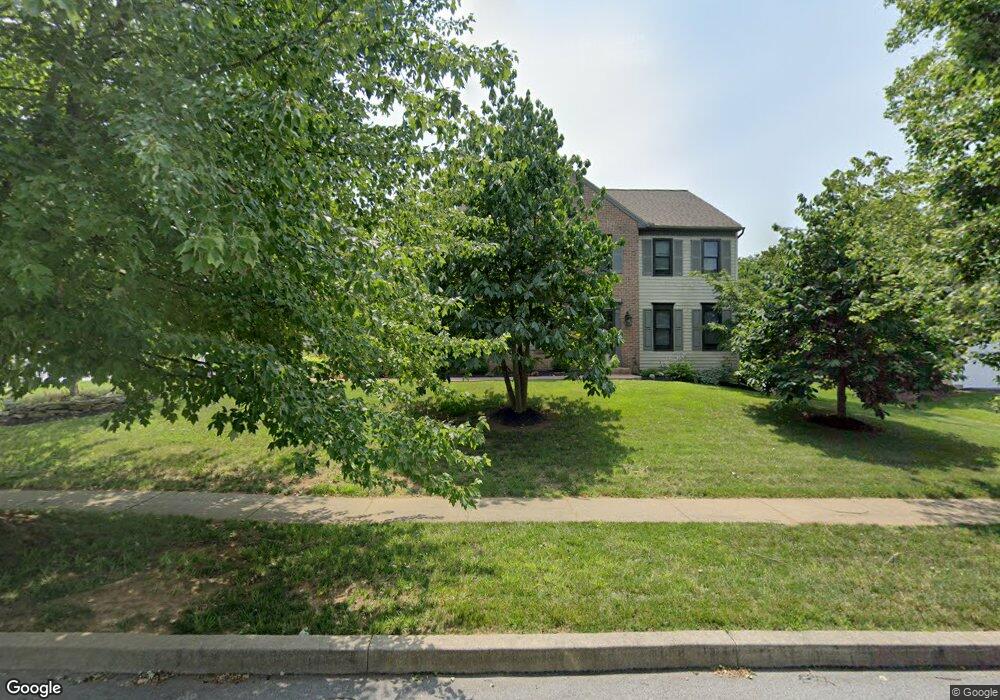
2116 Southpoint Dr Hummelstown, PA 17036
Estimated Value: $564,451 - $708,000
4
Beds
3
Baths
2,990
Sq Ft
$205/Sq Ft
Est. Value
About This Home
This home is located at 2116 Southpoint Dr, Hummelstown, PA 17036 and is currently estimated at $612,613, approximately $204 per square foot. 2116 Southpoint Dr is a home located in Dauphin County with nearby schools including Hershey Elementary School, Hershey Primary Elementary School, and Hershey Middle School.
Ownership History
Date
Name
Owned For
Owner Type
Purchase Details
Closed on
Nov 14, 2011
Sold by
Koppenhaver Edmund J
Bought by
Jones John
Current Estimated Value
Home Financials for this Owner
Home Financials are based on the most recent Mortgage that was taken out on this home.
Original Mortgage
$313,500
Outstanding Balance
$213,673
Interest Rate
4.01%
Mortgage Type
New Conventional
Estimated Equity
$398,940
Create a Home Valuation Report for This Property
The Home Valuation Report is an in-depth analysis detailing your home's value as well as a comparison with similar homes in the area
Home Values in the Area
Average Home Value in this Area
Purchase History
| Date | Buyer | Sale Price | Title Company |
|---|---|---|---|
| Jones John | $330,000 | -- |
Source: Public Records
Mortgage History
| Date | Status | Borrower | Loan Amount |
|---|---|---|---|
| Open | Jones John | $313,500 |
Source: Public Records
Tax History Compared to Growth
Tax History
| Year | Tax Paid | Tax Assessment Tax Assessment Total Assessment is a certain percentage of the fair market value that is determined by local assessors to be the total taxable value of land and additions on the property. | Land | Improvement |
|---|---|---|---|---|
| 2025 | $7,301 | $233,600 | $43,100 | $190,500 |
| 2024 | $6,862 | $233,600 | $43,100 | $190,500 |
| 2023 | $6,739 | $233,600 | $43,100 | $190,500 |
| 2022 | $6,590 | $233,600 | $43,100 | $190,500 |
| 2021 | $6,590 | $233,600 | $43,100 | $190,500 |
| 2020 | $6,590 | $233,600 | $43,100 | $190,500 |
| 2019 | $2,994 | $233,600 | $43,100 | $190,500 |
| 2018 | $6,299 | $233,600 | $43,100 | $190,500 |
| 2017 | $6,299 | $233,600 | $43,100 | $190,500 |
| 2016 | $0 | $233,600 | $43,100 | $190,500 |
| 2015 | -- | $233,600 | $43,100 | $190,500 |
| 2014 | -- | $233,600 | $43,100 | $190,500 |
Source: Public Records
Map
Nearby Homes
- 2042 Locust Ln
- 2017B Raleigh Rd
- 2039H Raleigh Rd
- 1168 Cord Dr
- 1959 Deer Run Dr
- 1919 Limestone Dr
- 994 Clifton Heights Rd
- 497 Middletown Rd
- 0 W Kaylor Rd
- 177 Middletown Rd
- 285 Dogwood Dr
- 1301 Newberry Rd
- 1155 Greenwood Dr
- 265 Redwood St
- 1565 Brookline Dr
- 1412 Kaylor Rd
- 610 Carrington Ct
- 1421 Jill Dr
- 589 Lovell Ct
- 1243 Peggy Dr
- 2124 Southpoint Dr
- 2117 Southpoint Dr
- 2130 Southpoint Dr
- 2123 Southpoint Dr
- 2129 Southpoint Dr
- 2136 Southpoint Dr
- 2135 Southpoint Dr
- 2140 Southpoint Dr
- 916 Merion Ct
- 2141 Southpoint Dr
- 2173 Joanne Ave
- 2098 Southpoint Dr
- 920 Merion Ct
- 912 Merion Ct
- 2146 Southpoint Dr
- 2147 Southpoint Dr
- 2097 Southpoint Dr
- 2095 Locust Ln
- 908 Merion Ct
- 2150 Southpoint Dr