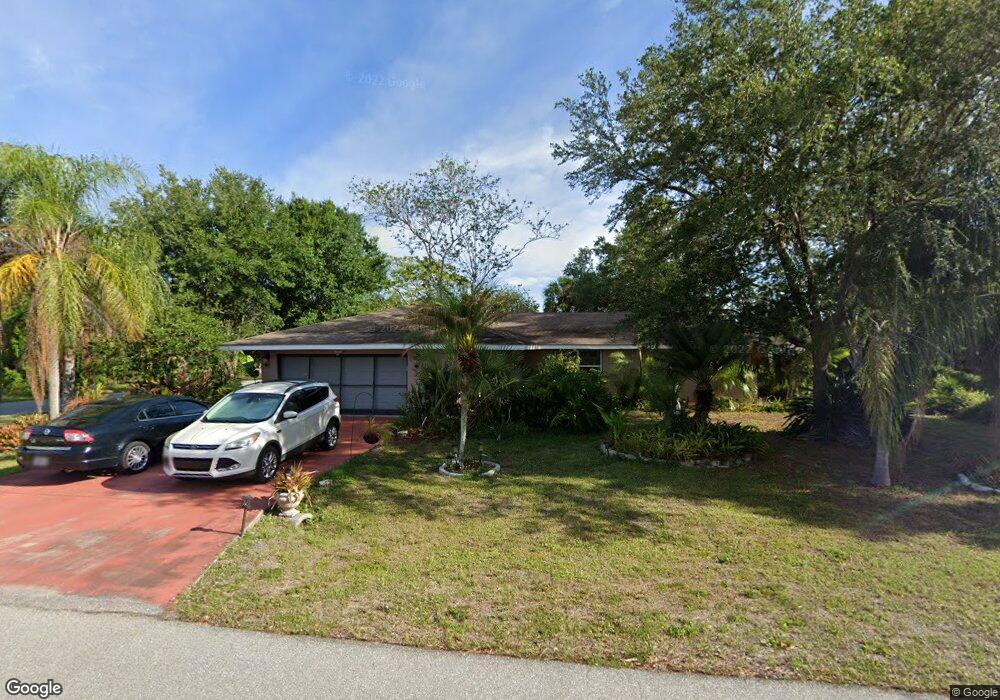
21160 Chatburn Ave Port Charlotte, FL 33952
Estimated Value: $240,794 - $327,000
--
Bed
--
Bath
1,734
Sq Ft
$162/Sq Ft
Est. Value
About This Home
This home is located at 21160 Chatburn Ave, Port Charlotte, FL 33952 and is currently estimated at $281,449, approximately $162 per square foot. 21160 Chatburn Ave is a home located in Charlotte County with nearby schools including Neil Armstrong Elementary School, Murdock Middle School, and Port Charlotte High School.
Ownership History
Date
Name
Owned For
Owner Type
Purchase Details
Closed on
Feb 27, 2002
Sold by
Dehond Elizabeth G
Bought by
Hackert Rodney L
Current Estimated Value
Home Financials for this Owner
Home Financials are based on the most recent Mortgage that was taken out on this home.
Original Mortgage
$92,720
Outstanding Balance
$38,050
Interest Rate
6.81%
Mortgage Type
FHA
Estimated Equity
$243,399
Purchase Details
Closed on
Mar 19, 2001
Sold by
Randall Dorothy Green
Bought by
Green Dorothy and Randall Dorothy Green
Create a Home Valuation Report for This Property
The Home Valuation Report is an in-depth analysis detailing your home's value as well as a comparison with similar homes in the area
Home Values in the Area
Average Home Value in this Area
Purchase History
| Date | Buyer | Sale Price | Title Company |
|---|---|---|---|
| Hackert Rodney L | -- | -- | |
| Heckert Rodney L | $93,500 | -- | |
| Green Dorothy | -- | -- |
Source: Public Records
Mortgage History
| Date | Status | Borrower | Loan Amount |
|---|---|---|---|
| Open | Heckert Rodney L | $92,720 | |
| Closed | Heckert Rodney L | $92,720 |
Source: Public Records
Tax History Compared to Growth
Tax History
| Year | Tax Paid | Tax Assessment Tax Assessment Total Assessment is a certain percentage of the fair market value that is determined by local assessors to be the total taxable value of land and additions on the property. | Land | Improvement |
|---|---|---|---|---|
| 2024 | $1,296 | $89,471 | -- | -- |
| 2023 | $1,296 | $75,567 | $0 | $0 |
| 2022 | $1,398 | $84,335 | $0 | $0 |
| 2021 | $1,377 | $81,879 | $0 | $0 |
| 2020 | $1,333 | $80,749 | $0 | $0 |
| 2019 | $1,250 | $78,934 | $0 | $0 |
| 2018 | $1,134 | $77,462 | $0 | $0 |
| 2017 | $1,115 | $75,869 | $0 | $0 |
| 2016 | $1,106 | $74,309 | $0 | $0 |
| 2015 | $1,093 | $73,792 | $0 | $0 |
| 2014 | $1,074 | $73,206 | $0 | $0 |
Source: Public Records
Map
Nearby Homes
- 21161 Knollwood Ave
- 1205 Yorkshire St
- 1150 Winston St
- 21192 Quesada Ave
- 21252 Kennedy Ave
- 21220 Pemberton Ave
- 21229 Peachland Blvd
- 1058 Congress St
- 21086 Peachland Blvd
- 1233 Dewhurst St
- 21271 Quesada Ave
- 1321 Newton St
- 1053 Yarmouth St
- 1370 Kenmore St
- 1196 Hinton St
- 448 Yorkshire St
- 1301 Yates St
- 1022 Waterside St
- 1012 Waterside St
- 284 Hinton St
- 21168 Chatburn Ave
- 21169 Knollwood Ave
- 21176 Chatburn Ave
- 21161 Chatburn Ave
- 1149 Kensington St
- 1133 Kensington St
- 1157 Kensington St
- 21177 Chatburn Ave
- 21184 Chatburn Ave
- 1125 Kensington St
- 21185 Knollwood Ave
- 1114 Kensington St
- 21185 Chatburn Ave
- 21160 Alderson Ave
- 21168 Alderson Ave
- 1113 Northview St
- 21192 Chatburn Ave
- 1173 Kensington St
- 21193 Knollwood Ave