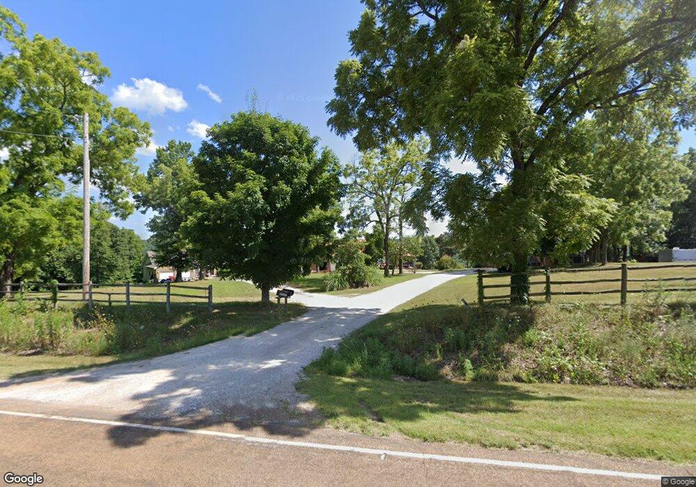
21169 Highway 17 Waynesville, MO 65583
Estimated Value: $316,000 - $617,000
--
Bed
--
Bath
7,740
Sq Ft
$56/Sq Ft
Est. Value
About This Home
This home is located at 21169 Highway 17, Waynesville, MO 65583 and is currently estimated at $429,838, approximately $55 per square foot. 21169 Highway 17 is a home located in Pulaski County with nearby schools including Waynesville East Elementary School, Freedom Elementary School, and Waynesville Sixth Grade Center.
Ownership History
Date
Name
Owned For
Owner Type
Purchase Details
Closed on
Oct 27, 2017
Sold by
Kessler David T and Kessler Traci L
Bought by
Kessler David T and Kessler Traci L
Current Estimated Value
Home Financials for this Owner
Home Financials are based on the most recent Mortgage that was taken out on this home.
Original Mortgage
$317,100
Outstanding Balance
$205,989
Interest Rate
3.83%
Mortgage Type
VA
Estimated Equity
$223,849
Purchase Details
Closed on
Mar 21, 2005
Sold by
Sowers Thomas S and Sowers Thomas Skerik
Bought by
Kessler David T and Kessler Hae Suk
Create a Home Valuation Report for This Property
The Home Valuation Report is an in-depth analysis detailing your home's value as well as a comparison with similar homes in the area
Home Values in the Area
Average Home Value in this Area
Purchase History
| Date | Buyer | Sale Price | Title Company |
|---|---|---|---|
| Kessler David T | -- | -- | |
| Kessler David T | -- | -- |
Source: Public Records
Mortgage History
| Date | Status | Borrower | Loan Amount |
|---|---|---|---|
| Open | Kessler David T | $317,100 |
Source: Public Records
Tax History Compared to Growth
Tax History
| Year | Tax Paid | Tax Assessment Tax Assessment Total Assessment is a certain percentage of the fair market value that is determined by local assessors to be the total taxable value of land and additions on the property. | Land | Improvement |
|---|---|---|---|---|
| 2024 | $2,719 | $62,496 | $5,700 | $56,796 |
| 2023 | $2,655 | $62,496 | $5,700 | $56,796 |
| 2022 | $2,450 | $62,496 | $5,700 | $56,796 |
| 2021 | $2,422 | $62,496 | $5,700 | $56,796 |
| 2020 | $2,370 | $59,791 | $0 | $0 |
| 2019 | $2,370 | $59,791 | $0 | $0 |
| 2018 | $2,368 | $59,791 | $0 | $0 |
| 2017 | $1,822 | $43,932 | $0 | $0 |
| 2016 | $1,730 | $46,040 | $0 | $0 |
| 2015 | -- | $46,040 | $0 | $0 |
| 2014 | $1,721 | $46,040 | $0 | $0 |
Source: Public Records
Map
Nearby Homes
- 22130 Rhyme Ln
- 22295 Rhyme Ln
- 20415 Highway 17
- 19875 Missouri 17
- 410 Breckenridge Dr
- 109 Summit Pass
- 124 Alice Dr
- 104 Teton Pass
- 96 Teton Pass
- 143 La Vista Dr
- 105 Paradise St
- 125 Alice Dr
- 159 Mesa Dr
- 125 La Vista Dr
- 141 La Vista Dr
- 21805 Revere Ln
- 000 Laduff Rd
- 20775 Reporter Rd
- 0 Rising Mist Dr Tracts 1-2 4-10 Unit 3572016
- 0 Rising Mist Dr Tracts 1-2 4-10 Unit MAR24068047
- 21171 Highway 17
- 21171 Highway 17
- 21171 Highway 17
- 21171 Highway 17
- 21171 Highway 17
- 21167 Highway 17
- 21167 Highway 17
- 0 Lot 1 Darby's Ridge Unit 22079608
- 0 Lot 1 Darby's Ridge Unit 19072028
- 1 Darby's Ridge
- 21144 Highway 17
- 21140 Highway 17
- 21160 Highway 17
- 21158 Highway 17
- 21170 Highway 17
- 21147 Highway 17
- 21154 Hwy 17n
- 21154 Highway 17
- 21180 Highway 17
- 21131 Highway 17