Estimated Value: $768,000 - $1,304,954
3
Beds
3
Baths
5,020
Sq Ft
$189/Sq Ft
Est. Value
About This Home
This home is located at 2117 Bennett Rd, Homer, GA 30547 and is currently estimated at $947,985, approximately $188 per square foot. 2117 Bennett Rd is a home located in Banks County with nearby schools including Banks County Primary School, Banks County Elementary School, and Banks County Middle School.
Ownership History
Date
Name
Owned For
Owner Type
Purchase Details
Closed on
Jun 18, 2020
Sold by
Morgan Hubert Franklin
Bought by
Morgan Hubert Franklin and Morgan Family Trust
Current Estimated Value
Purchase Details
Closed on
Jun 17, 2008
Sold by
Dutton Ronnie Wayne
Bought by
Morgan Hubert and Morgan Sandra A
Purchase Details
Closed on
Nov 16, 2007
Sold by
Brooks Timothy Mark
Bought by
Dutton Ronnie Wayne
Create a Home Valuation Report for This Property
The Home Valuation Report is an in-depth analysis detailing your home's value as well as a comparison with similar homes in the area
Home Values in the Area
Average Home Value in this Area
Purchase History
| Date | Buyer | Sale Price | Title Company |
|---|---|---|---|
| Morgan Hubert Franklin | -- | -- | |
| Morgan Hubert Franklin | -- | -- | |
| Morgan Hubert | $307,239 | -- | |
| Dutton Ronnie Wayne | $262,376 | -- |
Source: Public Records
Tax History Compared to Growth
Tax History
| Year | Tax Paid | Tax Assessment Tax Assessment Total Assessment is a certain percentage of the fair market value that is determined by local assessors to be the total taxable value of land and additions on the property. | Land | Improvement |
|---|---|---|---|---|
| 2025 | $6,792 | $456,543 | $89,030 | $367,513 |
| 2024 | $6,792 | $434,795 | $84,291 | $350,504 |
| 2023 | $6,856 | $368,443 | $81,571 | $286,872 |
| 2022 | $5,204 | $333,742 | $82,580 | $251,162 |
| 2021 | $4,993 | $296,696 | $68,818 | $227,878 |
| 2020 | $4,616 | $259,618 | $52,937 | $206,681 |
| 2019 | $4,544 | $257,674 | $50,993 | $206,681 |
| 2018 | $4,229 | $241,318 | $50,993 | $190,325 |
| 2017 | $4,511 | $233,883 | $39,160 | $194,723 |
| 2016 | $4,393 | $224,304 | $39,160 | $185,144 |
| 2015 | $4,077 | $223,598 | $39,160 | $184,438 |
| 2014 | $4,077 | $240,118 | $55,680 | $184,438 |
| 2013 | -- | $240,118 | $55,680 | $184,438 |
Source: Public Records
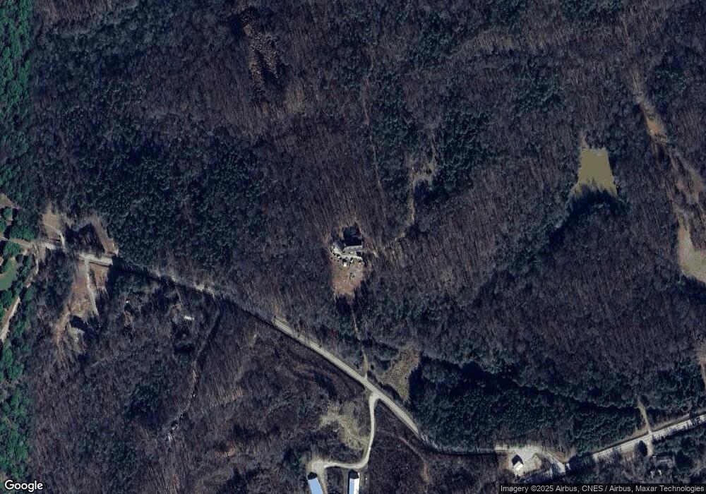
Map
Nearby Homes
- 1111 Georgia 63
- 0 Bennett Rd Unit 23200799
- 823 Highway 63
- 2090 Southern Seed Way
- 108 Indigo Cir
- 0 Highway 59 Unit 10257590
- 0 Highway 59 Unit 10257605
- 2100 Westbrook Rd
- 135 Horseshoe Trail
- 333 Sims Bridge Rd
- 0 McCoy Bridge Rd Unit 20148799
- 2205 Highway 51 N
- 0 Varner Rd
- 189 Oakwood Dr
- 135 Canters Run
- 158 Sullivan Dr
- 164 Greenview Ct
- 168 Greenview Ct
- 0 N Highway 441 Unit 10570307
- 161 Meadow Lake Dr
- 2080 Bennett Rd
- 1892 Bennett Rd
- 1856 Bennett Rd
- 1856 Bennett Rd Unit 3
- 1029 Highway 63
- 1029 Highway 63
- 1210 Martin Bridge Rd
- 1789 Bennett Rd
- 1279 Georgia 63
- 1840 Bennett Rd
- 1023 Highway 63
- 0 Highway 63 Unit 8107731
- 0 Georgia 63 Unit 8858419
- 0 Georgia 63 Unit 8955994
- 0 Highway 63 Unit 8858419
- 0 Highway 63 Unit 8890088
- 0 Highway 63 Unit 8890091
- 2252 Georgia 63
- 0 Highway 63 Unit 8858454
- 1019 Highway 63