2117 Berks Rd Lansdale, PA 19446
Estimated Value: $774,000 - $1,148,188
4
Beds
4
Baths
3,559
Sq Ft
$258/Sq Ft
Est. Value
About This Home
This home is located at 2117 Berks Rd, Lansdale, PA 19446 and is currently estimated at $917,797, approximately $257 per square foot. 2117 Berks Rd is a home with nearby schools including Worcester Elementary School, Skyview Upper Elementary School, and Arcola Intermediate School.
Ownership History
Date
Name
Owned For
Owner Type
Purchase Details
Closed on
Nov 12, 2021
Sold by
Rhoads Real Estate Ventures
Bought by
Horgan Brian and Horgan Kimberly
Current Estimated Value
Purchase Details
Closed on
Feb 15, 2018
Sold by
Hales Justin E and Hales Lauren E
Bought by
Rhoads Real Estate Ventures
Purchase Details
Closed on
May 12, 2017
Sold by
Rhoads Real Estate Ventures
Bought by
Hales Justin E and Hales Lauren E
Purchase Details
Closed on
Apr 23, 2012
Sold by
Esbensen Dianne Leigh and Esbensen Christopher Bruce
Bought by
Esbensen Dianne Leigh and Esbensen Christopher Bruce
Purchase Details
Closed on
Mar 29, 2000
Sold by
Hansell John R
Bought by
Rhoads Real Estate Ventures
Create a Home Valuation Report for This Property
The Home Valuation Report is an in-depth analysis detailing your home's value as well as a comparison with similar homes in the area
Home Values in the Area
Average Home Value in this Area
Purchase History
| Date | Buyer | Sale Price | Title Company |
|---|---|---|---|
| Horgan Brian | $225,000 | None Available | |
| Rhoads Real Estate Ventures | -- | -- | |
| Hales Justin E | $359,508 | -- | |
| Hales Justin E | -- | Security Abstract | |
| Esbensen Dianne Leigh | -- | None Available | |
| Rhoads Real Estate Ventures | $310,000 | -- |
Source: Public Records
Tax History Compared to Growth
Tax History
| Year | Tax Paid | Tax Assessment Tax Assessment Total Assessment is a certain percentage of the fair market value that is determined by local assessors to be the total taxable value of land and additions on the property. | Land | Improvement |
|---|---|---|---|---|
| 2025 | $14,437 | $381,140 | -- | -- |
| 2024 | $14,437 | $381,140 | -- | -- |
| 2023 | $3,595 | $98,960 | $0 | $0 |
| 2022 | $3,526 | $98,960 | $0 | $0 |
| 2021 | $3,456 | $98,960 | $0 | $0 |
| 2020 | $3,392 | $98,960 | $0 | $0 |
| 2019 | $3,359 | $98,960 | $0 | $0 |
| 2018 | $792 | $203,310 | $0 | $0 |
| 2017 | $274 | $331,100 | $0 | $0 |
| 2016 | $271 | $331,100 | $0 | $0 |
| 2015 | $257 | $331,100 | $0 | $0 |
| 2014 | $257 | $331,100 | $0 | $0 |
Source: Public Records
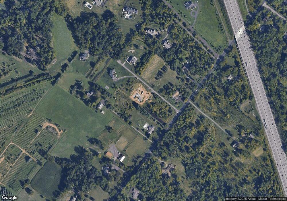
Map
Nearby Homes
- 2696 Capri Ln
- 2203 Weber Rd
- 2725 Skippack Pike
- 1401 Oak Cir
- 2099 Deep Meadow Ln
- 4 Anglesey
- 1921 Whitehall Rd
- 2098 Deep Meadow Ln
- 2806 Morris Rd
- 3106 Lilac Ct
- 1307 Lilac Ct
- 2624 Hawthorn Dr
- 2564 W Skippack Pike
- 4104 Lilac Ct
- 4103 Lilac Ct
- 4204 Lilac Ct
- 5403 Lilac Ct
- 6206 Lilac Ct
- 6103 Lilac Ct
- 426 Primrose Dr