2117 Eastport Way Harleysville, PA 19438
Estimated Value: $561,527 - $684,000
3
Beds
3
Baths
3,403
Sq Ft
$188/Sq Ft
Est. Value
About This Home
This home is located at 2117 Eastport Way, Harleysville, PA 19438 and is currently estimated at $638,382, approximately $187 per square foot. 2117 Eastport Way is a home located in Montgomery County with nearby schools including Skippack Elementary School, Perkiomen Valley Middle School West, and Dock Mennonite Academy.
Ownership History
Date
Name
Owned For
Owner Type
Purchase Details
Closed on
Jan 29, 2008
Sold by
Th Prop Llc and Hendricks Timothy P
Bought by
Ruch Patricia A and Ruch Louis J
Current Estimated Value
Home Financials for this Owner
Home Financials are based on the most recent Mortgage that was taken out on this home.
Original Mortgage
$250,000
Outstanding Balance
$158,352
Interest Rate
6.14%
Estimated Equity
$480,030
Create a Home Valuation Report for This Property
The Home Valuation Report is an in-depth analysis detailing your home's value as well as a comparison with similar homes in the area
Home Values in the Area
Average Home Value in this Area
Purchase History
| Date | Buyer | Sale Price | Title Company |
|---|---|---|---|
| Ruch Patricia A | $447,709 | None Available |
Source: Public Records
Mortgage History
| Date | Status | Borrower | Loan Amount |
|---|---|---|---|
| Open | Ruch Patricia A | $250,000 | |
| Closed | Ruch Patricia A | $150,000 |
Source: Public Records
Tax History Compared to Growth
Tax History
| Year | Tax Paid | Tax Assessment Tax Assessment Total Assessment is a certain percentage of the fair market value that is determined by local assessors to be the total taxable value of land and additions on the property. | Land | Improvement |
|---|---|---|---|---|
| 2025 | $7,919 | $189,100 | -- | -- |
| 2024 | $7,919 | $189,100 | -- | -- |
| 2023 | $7,640 | $189,100 | $0 | $0 |
| 2022 | $7,466 | $189,100 | $0 | $0 |
| 2021 | $7,347 | $189,100 | $0 | $0 |
| 2020 | $7,165 | $189,100 | $0 | $0 |
| 2019 | $7,072 | $189,100 | $0 | $0 |
| 2018 | $794 | $189,100 | $0 | $0 |
| 2017 | $6,770 | $189,100 | $0 | $0 |
| 2016 | $6,696 | $189,100 | $0 | $0 |
| 2015 | $6,431 | $189,100 | $0 | $0 |
| 2014 | $6,431 | $189,100 | $0 | $0 |
Source: Public Records
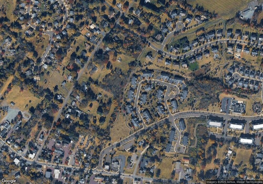
Map
Nearby Homes
- 0 Ashland Dr Unit PAMC2148822
- 20 Township Line Rd
- 3919 Gatehouse Ln
- 2061 Integrity Ave
- 901 Ashbourne Way
- 961 Harleysville Pike
- 4313 Wendy Way
- 1134 Michele Ave
- 1100 Cressman Rd
- 1056 Bridge Rd Unit 6
- 1054 Bridge Rd Unit 5
- 1052 Bridge Rd Unit 4
- 1050 Bridge Rd Unit 3
- 1048 Bridge Rd Unit 2
- 1046 Bridge Rd Unit 1
- 100 Cooke Way
- 870 Harleysville Pike
- 962 Bridge Rd
- 974 Dogwood Ln
- 512 Championship Dr
- 2115 Eastport Way
- 2119 Eastport Way
- 2113 Eastport Way
- 2121 Eastport Way
- 2116 Eastport Way
- 2118 Eastport Way
- 2114 Eastport Way
- 2123 Eastport Way
- 2111 Eastport Way
- 2112 Eastport Way
- 2109 Eastport Way
- 2128 Eastport Way
- 2125 Eastport Way
- 2127 Eastport Way
- 2107 Eastport Way
- 2106 Eastport Way
- 2129 Eastport Way
- 2105 Eastport Way
- 2104 Eastport Way
- 2107 Braden Ct