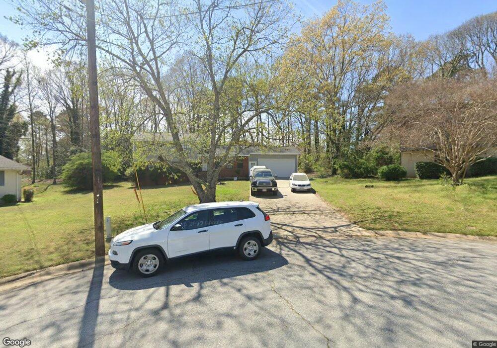
2117 Freestone Ct Unit 1 Jonesboro, GA 30236
Estimated Value: $220,381 - $251,000
3
Beds
2
Baths
1,620
Sq Ft
$145/Sq Ft
Est. Value
About This Home
This home is located at 2117 Freestone Ct Unit 1, Jonesboro, GA 30236 and is currently estimated at $234,595, approximately $144 per square foot. 2117 Freestone Ct Unit 1 is a home located in Clayton County with nearby schools including Arnold Elementary School, M. D. Roberts Middle School, and Jonesboro High School.
Ownership History
Date
Name
Owned For
Owner Type
Purchase Details
Closed on
Oct 18, 2021
Sold by
Path Acquisitions Trs Llc
Bought by
Pagaya Smartresi F1 Fund Property Owner
Current Estimated Value
Purchase Details
Closed on
Oct 7, 2021
Sold by
Hudgins Jamie
Bought by
Path Acquisitions Trs Llc
Purchase Details
Closed on
Jun 22, 2006
Sold by
Steinfeldt Andrew G and Steinfeldt Jolene M
Bought by
Hudgins Jamie
Home Financials for this Owner
Home Financials are based on the most recent Mortgage that was taken out on this home.
Original Mortgage
$96,720
Interest Rate
6.67%
Mortgage Type
New Conventional
Create a Home Valuation Report for This Property
The Home Valuation Report is an in-depth analysis detailing your home's value as well as a comparison with similar homes in the area
Home Values in the Area
Average Home Value in this Area
Purchase History
| Date | Buyer | Sale Price | Title Company |
|---|---|---|---|
| Pagaya Smartresi F1 Fund Property Owner | $203,110 | -- | |
| Path Acquisitions Trs Llc | $200,100 | -- | |
| Hudgins Jamie | $120,900 | -- |
Source: Public Records
Mortgage History
| Date | Status | Borrower | Loan Amount |
|---|---|---|---|
| Previous Owner | Hudgins Jamie | $96,720 |
Source: Public Records
Tax History Compared to Growth
Tax History
| Year | Tax Paid | Tax Assessment Tax Assessment Total Assessment is a certain percentage of the fair market value that is determined by local assessors to be the total taxable value of land and additions on the property. | Land | Improvement |
|---|---|---|---|---|
| 2024 | $3,047 | $79,480 | $8,800 | $70,680 |
| 2023 | $2,684 | $73,360 | $8,800 | $64,560 |
| 2022 | $2,792 | $70,240 | $8,800 | $61,440 |
| 2021 | $2,038 | $50,720 | $8,800 | $41,920 |
| 2020 | $1,974 | $48,483 | $8,800 | $39,683 |
| 2019 | $1,961 | $47,442 | $7,200 | $40,242 |
| 2018 | $1,798 | $43,424 | $7,200 | $36,224 |
| 2017 | $1,542 | $37,036 | $7,200 | $29,836 |
| 2016 | $1,243 | $29,685 | $7,200 | $22,485 |
| 2015 | $1,109 | $0 | $0 | $0 |
| 2014 | $1,185 | $28,921 | $7,200 | $21,721 |
Source: Public Records
Map
Nearby Homes
- 2140 Indian Hill Rd
- 8228 Lullwater Ct
- 1914 Lullwater Cir Unit V
- 0 Highway 138 E Unit 10460006
- 0 Highway 138 E Unit 10650191
- 0 Highway 138 E Unit 10638505
- 8327 Commanche Ct
- 7972 Woods Ln Unit IX
- 7940 Rand Rd
- 7942 Rand Rd
- 1904 Cades Cove
- 1732 Winding Woods Ln
- 2238 Danver Ct
- 1753 Brenda Dr
- 1837 Coventry Way
- 1907 Spivey Village Cir
- 8294 Winston Way
- 2115 Logan Dr
- 1730 Salina Dr
- 1699 Brenda Dr Unit 2
- 2117 Freestone Ct
- 2121 Freestone Ct
- 2121 Freestone Ct Unit 16
- 8158 Tupelo Trail
- 2114 Freestone Ct
- 2116 Shawnee Dr
- 8148 Tupelo Trail
- 2106 Shawnee Dr
- 8170 Tupelo Trail
- 8177 Freestone Dr
- 8167 Freestone Dr
- 2126 Freestone Ct
- 8180 Tupelo Trail
- 8138 Tupelo Trail
- 0 Shawnee Dr
- 2119 Indian Hill Rd Unit 1
- 8126 Tupelo Trail
- 2115 Indian Hill Rd
- 2115 Indian Hill Rd Unit 6
- 2136 Freestone Ct