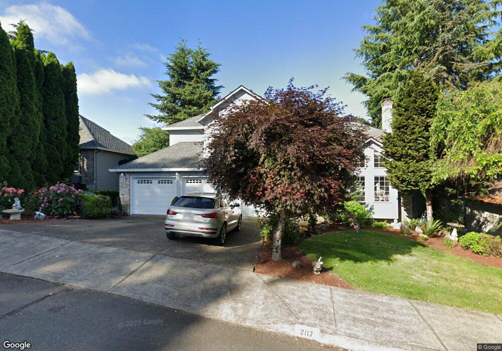
2117 Greene St West Linn, OR 97068
Tanner Basin NeighborhoodEstimated Value: $902,000 - $1,176,000
--
Bed
3
Baths
4,562
Sq Ft
$232/Sq Ft
Est. Value
About This Home
This home is located at 2117 Greene St, West Linn, OR 97068 and is currently estimated at $1,057,739, approximately $231 per square foot. 2117 Greene St is a home located in Clackamas County with nearby schools including Willamette Primary School, Athey Creek Middle School, and West Linn High School.
Ownership History
Date
Name
Owned For
Owner Type
Purchase Details
Closed on
Nov 1, 1989
Bought by
Kemp Donald L and Kemp Constance V
Current Estimated Value
Create a Home Valuation Report for This Property
The Home Valuation Report is an in-depth analysis detailing your home's value as well as a comparison with similar homes in the area
Home Values in the Area
Average Home Value in this Area
Purchase History
| Date | Buyer | Sale Price | Title Company |
|---|---|---|---|
| Kemp Donald L | $222,000 | -- |
Source: Public Records
Tax History Compared to Growth
Tax History
| Year | Tax Paid | Tax Assessment Tax Assessment Total Assessment is a certain percentage of the fair market value that is determined by local assessors to be the total taxable value of land and additions on the property. | Land | Improvement |
|---|---|---|---|---|
| 2025 | $12,076 | $626,599 | -- | -- |
| 2024 | $11,624 | $608,349 | -- | -- |
| 2023 | $11,624 | $590,631 | $0 | $0 |
| 2022 | $10,971 | $573,429 | $0 | $0 |
| 2021 | $10,044 | $556,728 | $0 | $0 |
| 2020 | $9,965 | $540,513 | $0 | $0 |
| 2019 | $9,547 | $524,770 | $0 | $0 |
| 2018 | $9,086 | $509,485 | $0 | $0 |
| 2017 | $8,678 | $494,646 | $0 | $0 |
| 2016 | $8,336 | $480,239 | $0 | $0 |
| 2015 | $7,981 | $466,251 | $0 | $0 |
| 2014 | $7,555 | $452,671 | $0 | $0 |
Source: Public Records
Map
Nearby Homes
- 2378 Falcon Dr
- 1808 Hall Ct
- 1950 Hall St
- 1925 Hall St
- 4650 Summerlinn Way
- 4630 Summerlinn Way
- 23136 Bland Cir
- 1791 Blankenship Rd
- 3850 Summerlinn Dr Unit 58
- 6505 Summerlinn Way Unit 79
- 2026 Virginia Ln
- 6735 Summerlinn Way Unit 87
- 6840 Summerlinn Way Unit 93
- 3565 Summerlinn Dr Unit 64
- 23019 Bland Cir
- 850 Springtree Ln Unit 850
- 3395 Summerlinn Dr Unit 24
- 975 Springtree Ln
- 880 Springtree Ln Unit 880
- 800 Springtree Ln
- 2115 Greene St
- 2119 Greene St
- 2113 Greene St
- 2121 Greene St
- 1816 Barnes Cir
- 2111 Greene St
- 1818 Barnes Cir
- 1820 Barnes Cir
- 2125 Greene St
- 2109 Greene St(relisted)
- 2109 Greene St Relisted
- 1806 Barnes Cir
- 2103 Greene St
- 1822 Barnes Cir
- 2101 Greene St
- 1803 Barnes Cr
- 2131 Greene St
- 1803 Barnes Cir
- 1817 Barnes Cir
- 1811 Barnes Cir