2117 Jim Waltman Rd Moss Point, MS 39562
Estimated Value: $241,000 - $260,959
About This Home
This home is located at 2117 Jim Waltman Rd, Moss Point, MS 39562 and is currently estimated at $248,990, approximately $142 per square foot. 2117 Jim Waltman Rd is a home located in Jackson County with nearby schools including East Central Lower Elementary School, East Central Upper Elementary School, and East Central Middle School.
Ownership History
We collect this data history from publicly available records. To have your information removed, we recommend requesting removal directly through your county’s website.
Purchase Details
Home Financials for this Owner
Home Financials are based on the most recent Mortgage that was taken out on this home.Purchase Details
Home Financials for this Owner
Home Financials are based on the most recent Mortgage that was taken out on this home.Purchase History
We collect this data history from publicly available records. To have your information removed, we recommend requesting removal directly through your county’s website.
| Date | Buyer | Sale Price | Title Company |
|---|---|---|---|
| -- | None Listed On Document | ||
| -- | -- |
Mortgage History
We collect this data history from publicly available records. To have your information removed, we recommend requesting removal directly through your county’s website.
| Date | Status | Borrower | Loan Amount |
|---|---|---|---|
| Open | $150,228 | ||
| Previous Owner | $169,569 |
Tax History
We collect this data history from publicly available records. To have your information removed, we recommend requesting removal directly through your county’s website.
| Year | Tax Paid | Tax Assessment Tax Assessment Total Assessment is a certain percentage of the fair market value that is determined by local assessors to be the total taxable value of land and additions on the property. | Land | Improvement |
|---|---|---|---|---|
| 2025 | $1,430 | $14,558 | $1,255 | $13,303 |
| 2024 | $1,430 | $12,207 | $1,222 | $10,985 |
| 2023 | $1,165 | $12,272 | $1,226 | $11,046 |
| 2022 | $1,132 | $12,274 | $1,228 | $11,046 |
| 2021 | $1,139 | $12,344 | $1,234 | $11,110 |
| 2020 | $1,042 | $11,106 | $1,155 | $9,951 |
| 2019 | $1,028 | $11,111 | $1,160 | $9,951 |
| 2018 | $1,019 | $10,831 | $1,164 | $9,667 |
| 2017 | $1,042 | $10,833 | $1,166 | $9,667 |
| 2016 | $987 | $10,820 | $1,154 | $9,666 |
| 2015 | $889 | $97,880 | $11,040 | $86,840 |
| 2014 | $885 | $10,088 | $1,163 | $8,925 |
| 2013 | $845 | $10,078 | $1,154 | $8,924 |
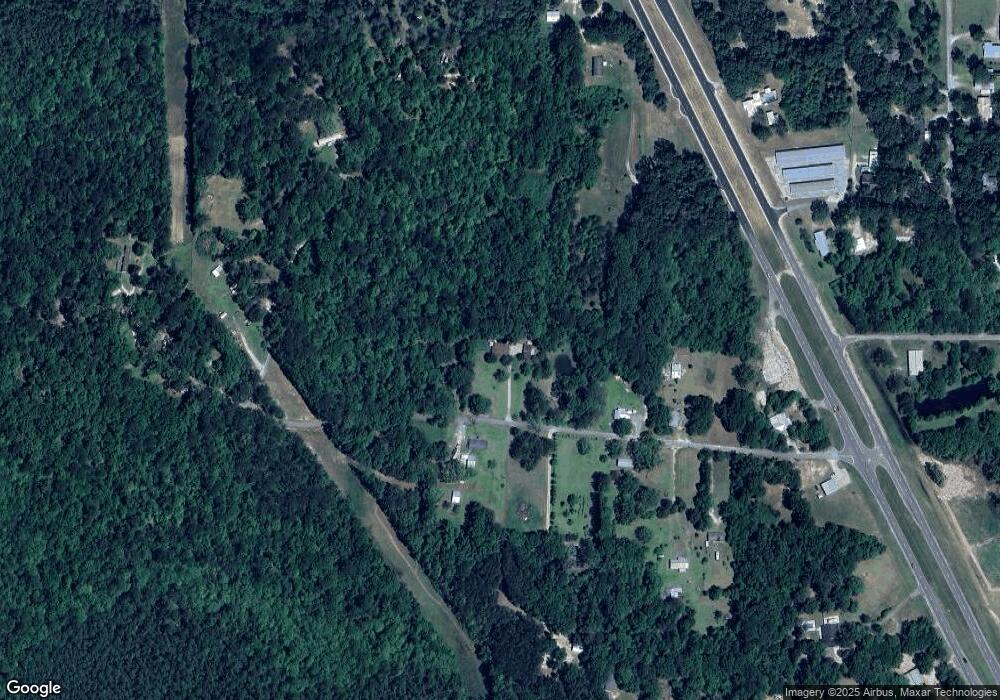
Map
- 22228 William Ward Rd
- 196 Cedar Creek Rd
- 0 Cedar Creek Rd
- 2410 Timber Ln
- Tbd Hurley Wade Rd
- 20700 Cameron Ln
- 5116 Ceres Farm Rd
- 24023 Robert e Lee Rd
- 19506 Highway 63
- 2517 Will Kibby Rd
- 5455 Gavin Hamilton Rd
- 19500 Angel Ln
- 24404 Superior Dr
- 125 Mulberry Dr
- 24009 Highway 613
- 24748 Davis Dead River Cir
- 2.88ac Morrison Rd
- 0 00 Gavin Hamilton Rd
- 22612 Mississippi 613
- 0 Carter Lake Dr
- 2112 Jim Waltman Rd
- 2209 Jim Waltman Rd
- 2208 Jim Waltman Rd
- 2217 Jim Waltman Rd
- 2140 Jim Waltman Rd
- 1800 Jim Waltman Rd
- 22709 Highway 63
- 2224 Jim Waltman Rd
- 1900 Jim Waltman Rd
- 2124 Jim Waltman Rd
- 0 Jim Waltman Unit 3279614
- 2301 Jim Waltman Rd
- 2216 Jim Waltman Rd
- 22728 Highway 63
- 22824 Highway 63
- 22901 Highway 63
- 0 Highway 63 & Jim Waltman Rd Unit 3270911
- 22925 Highway 63 Unit DRO
- 2190 Les Reeves Rd
- 2309 Mangrove Rd
Ask me questions while you tour the home.