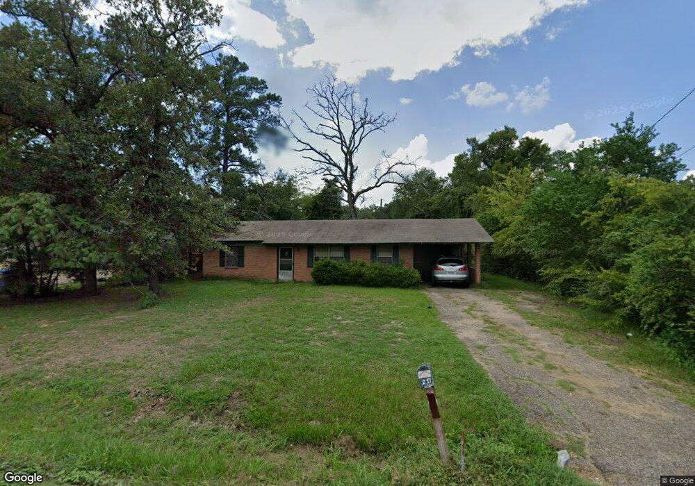
2117 Judson Dr Lufkin, TX 75901
Estimated Value: $107,858 - $118,000
3
Beds
1
Bath
1,075
Sq Ft
$105/Sq Ft
Est. Value
About This Home
This home is located at 2117 Judson Dr, Lufkin, TX 75901 and is currently estimated at $112,965, approximately $105 per square foot. 2117 Judson Dr is a home located in Angelina County with nearby schools including Garrett Primary School, Dunbar Primary School, and Brandon Elementary School.
Ownership History
Date
Name
Owned For
Owner Type
Purchase Details
Closed on
Jun 14, 2005
Sold by
Pearson Financial Corp
Bought by
Lee Ellen R and Lee Pauline W
Current Estimated Value
Home Financials for this Owner
Home Financials are based on the most recent Mortgage that was taken out on this home.
Original Mortgage
$31,512
Outstanding Balance
$16,472
Interest Rate
5.78%
Mortgage Type
Purchase Money Mortgage
Estimated Equity
$96,493
Create a Home Valuation Report for This Property
The Home Valuation Report is an in-depth analysis detailing your home's value as well as a comparison with similar homes in the area
Home Values in the Area
Average Home Value in this Area
Purchase History
| Date | Buyer | Sale Price | Title Company |
|---|---|---|---|
| Lee Ellen R | $30,600 | None Available | |
| Lee Ellen R | $49,500 | None Available |
Source: Public Records
Mortgage History
| Date | Status | Borrower | Loan Amount |
|---|---|---|---|
| Open | Lee Ellen R | $31,512 |
Source: Public Records
Tax History Compared to Growth
Tax History
| Year | Tax Paid | Tax Assessment Tax Assessment Total Assessment is a certain percentage of the fair market value that is determined by local assessors to be the total taxable value of land and additions on the property. | Land | Improvement |
|---|---|---|---|---|
| 2025 | $1,508 | $72,160 | $13,840 | $58,320 |
| 2024 | $1,476 | $70,620 | $13,840 | $56,780 |
| 2023 | $1,383 | $69,600 | $13,840 | $55,760 |
| 2022 | $1,578 | $69,270 | $5,770 | $63,500 |
| 2021 | $1,576 | $63,960 | $5,770 | $58,190 |
| 2020 | $1,422 | $57,870 | $5,770 | $52,100 |
| 2019 | $1,504 | $57,870 | $5,770 | $52,100 |
| 2018 | $1,281 | $55,980 | $5,770 | $50,210 |
| 2017 | $1,281 | $53,720 | $5,770 | $47,950 |
| 2016 | $1,260 | $52,840 | $5,770 | $47,070 |
| 2015 | $1,227 | $57,470 | $5,770 | $51,700 |
| 2014 | $1,227 | $57,710 | $5,770 | $51,940 |
Source: Public Records
Map
Nearby Homes
- 2404 Davisville Rd
- 2504 Davisville Rd
- 217 Derek Rd
- 201 Silver Spur Dr
- 1518 Phelps St
- 607 Humason Ave
- 233 N Banks St
- 2509 Martin Luther King Junior Blvd
- 329 Humason Ave
- n/a Loop 287 Frontage Rd
- 333 Humason Ave
- 4795 LEWIS & PO Norwood Dr
- 1706 approx. Norwood Dr
- 223 Stoney Ridge
- 916 Circle Dr
- TBD State Highway 103
- 3600 N Medford Dr
- n/a Farm To Market Road 2021
- 515 Martin Luther King jr Blvd
- 408 Bob St
- 2115 Judson Dr
- 2113 Judson Dr
- 2106 N Timberland Dr
- 2114 Judson Dr
- 2112 Judson Dr
- 2110 Judson Dr
- 2106 Judson Dr
- 2209 Judson Dr
- 2109 Judson Dr
- 2104 Judson Dr
- 2111 Homewood Dr
- 2109 Homewood Dr
- 2113 Homewood Dr
- 2111 N Timberland Dr
- 2107 Homewood Dr
- 2115 Homewood Dr
- 2105 Homewood Dr
- 304 Duncan Ave
- 2107 Judson Dr
- 2103 Homewood Dr