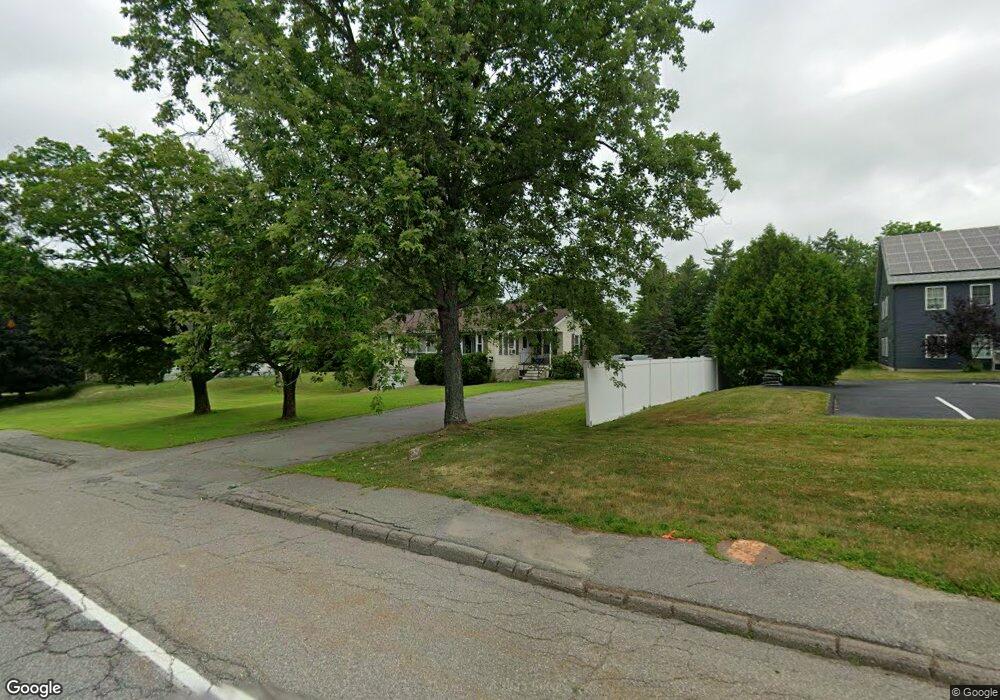
2117 N Belfast Ave Augusta, ME 04330
Estimated Value: $262,000 - $294,000
3
Beds
1
Bath
1,288
Sq Ft
$213/Sq Ft
Est. Value
About This Home
This home is located at 2117 N Belfast Ave, Augusta, ME 04330 and is currently estimated at $274,690, approximately $213 per square foot. 2117 N Belfast Ave is a home located in Kennebec County with nearby schools including Cony Middle School, Cony School, and Maine Virtual Academy.
Ownership History
Date
Name
Owned For
Owner Type
Purchase Details
Closed on
Jul 9, 2008
Sold by
Wing Timothy J
Bought by
Perry Diane and Perry Patrcik
Current Estimated Value
Home Financials for this Owner
Home Financials are based on the most recent Mortgage that was taken out on this home.
Original Mortgage
$134,754
Outstanding Balance
$87,198
Interest Rate
6.13%
Mortgage Type
FHA
Estimated Equity
$187,492
Create a Home Valuation Report for This Property
The Home Valuation Report is an in-depth analysis detailing your home's value as well as a comparison with similar homes in the area
Home Values in the Area
Average Home Value in this Area
Purchase History
| Date | Buyer | Sale Price | Title Company |
|---|---|---|---|
| Perry Diane | -- | -- |
Source: Public Records
Mortgage History
| Date | Status | Borrower | Loan Amount |
|---|---|---|---|
| Open | Perry Diane | $134,754 |
Source: Public Records
Tax History Compared to Growth
Tax History
| Year | Tax Paid | Tax Assessment Tax Assessment Total Assessment is a certain percentage of the fair market value that is determined by local assessors to be the total taxable value of land and additions on the property. | Land | Improvement |
|---|---|---|---|---|
| 2024 | $2,863 | $120,300 | $44,300 | $76,000 |
| 2023 | $2,762 | $120,300 | $44,300 | $76,000 |
| 2022 | $2,637 | $120,300 | $44,300 | $76,000 |
| 2021 | $2,519 | $120,300 | $44,300 | $76,000 |
| 2020 | $2,519 | $120,300 | $44,300 | $76,000 |
| 2019 | $2,523 | $120,300 | $44,300 | $76,000 |
| 2018 | $2,523 | $120,300 | $44,300 | $76,000 |
| 2017 | $2,452 | $120,300 | $44,300 | $76,000 |
| 2016 | $2,381 | $120,300 | $44,300 | $76,000 |
| 2015 | $2,334 | $120,300 | $44,300 | $76,000 |
| 2014 | $2,246 | $120,300 | $44,300 | $76,000 |
Source: Public Records
Map
Nearby Homes
- 6 Bayberry Ct
- 2058 N Belfast Ave
- 120 Purinton Ave
- 2043 N Belfast Ave
- 106 S Belfast Ave
- 12 Lilac Ln
- 11 Allen St
- 0 Map 6 Lot 60 N Belfast Ave Unit 1613671
- 32 Murray St
- 16 Murray St
- 191 Cony St
- 165 Cony St
- 122 Pierce Dr
- 31 Greenlief St
- 32 Sparrow Dr
- 259 S Belfast Ave
- 95 Fieldstone Dr
- 78 Fieldstone Dr
- 4 Clover Corner Ln
- 116 Fieldstone Dr
- 2127 N Belfast Ave
- 3 Commonwealth Dr Unit 1
- 3 Commonwealth Dr Unit 204
- 3 Commonwealth Dr Unit 101
- 3 Commonwealth Dr Unit 201
- 3 Commonwealth Dr Unit 103
- 3 Commonwealth Ave Unit 102
- 3 Commonwealth Ave Unit 101
- 3 Commonwealth N Belfast Ave
- 3 Commonwealth Dr
- 2116 N Belfast Ave
- 5 Hicks Rd
- 5 Hicks and Corner of Old Rt 3
- 2124 N Belfast Ave
- 9 Hicks Rd
- 4 Hicks Rd
- 2132 N Belfast Ave
- 2101 N Belfast Ave
- 12 Hicks Rd
- 1 Caswell St