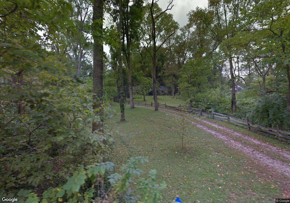
2117 Simison Rd Spring Valley, OH 45370
Estimated Value: $173,000 - $571,000
4
Beds
3
Baths
2,143
Sq Ft
$165/Sq Ft
Est. Value
About This Home
This home is located at 2117 Simison Rd, Spring Valley, OH 45370 and is currently estimated at $354,333, approximately $165 per square foot. 2117 Simison Rd is a home located in Greene County with nearby schools including Xenia High School.
Ownership History
Date
Name
Owned For
Owner Type
Purchase Details
Closed on
Mar 29, 2022
Sold by
Red Rock 2020 A Llc
Bought by
Bosteder Clifford and Bosteder Kathy
Current Estimated Value
Purchase Details
Closed on
Mar 24, 2022
Sold by
Us Bank National Association
Bought by
Red Rock 2020 A Llc
Purchase Details
Closed on
Sep 16, 2020
Sold by
Zax Carol J and Zax Carol
Bought by
U S Bank National Association and Structured Asset Securities Corp Mtg Se
Purchase Details
Closed on
Jul 23, 1999
Sold by
Wead Barbara Jayne
Bought by
Zax Carol J
Home Financials for this Owner
Home Financials are based on the most recent Mortgage that was taken out on this home.
Original Mortgage
$150,000
Interest Rate
8.5%
Purchase Details
Closed on
Aug 3, 1995
Sold by
Zax Carol J
Bought by
Wead Barbara J
Home Financials for this Owner
Home Financials are based on the most recent Mortgage that was taken out on this home.
Original Mortgage
$88,800
Interest Rate
7.56%
Mortgage Type
New Conventional
Create a Home Valuation Report for This Property
The Home Valuation Report is an in-depth analysis detailing your home's value as well as a comparison with similar homes in the area
Purchase History
| Date | Buyer | Sale Price | Title Company |
|---|---|---|---|
| Bosteder Clifford | $135,000 | Mitchell James R | |
| Red Rock 2020 A Llc | $47,700 | Pearl Law Office Llc | |
| U S Bank National Association | $66,100 | None Available | |
| Zax Carol J | $88,000 | -- | |
| Wead Barbara J | $93,500 | -- |
Source: Public Records
Mortgage History
| Date | Status | Borrower | Loan Amount |
|---|---|---|---|
| Previous Owner | Zax Carol J | $150,000 | |
| Previous Owner | Wead Barbara J | $88,800 |
Source: Public Records
Tax History
| Year | Tax Paid | Tax Assessment Tax Assessment Total Assessment is a certain percentage of the fair market value that is determined by local assessors to be the total taxable value of land and additions on the property. | Land | Improvement |
|---|---|---|---|---|
| 2024 | $5,786 | $37,130 | $30,120 | $7,010 |
| 2023 | $4,362 | $37,130 | $30,120 | $7,010 |
| 2022 | $1,988 | $33,700 | $28,240 | $5,460 |
| 2021 | $2,012 | $33,700 | $28,240 | $5,460 |
| 2020 | $177 | $33,700 | $28,240 | $5,460 |
| 2019 | $1,154 | $28,700 | $23,920 | $4,780 |
| 2018 | $1,139 | $28,710 | $23,920 | $4,790 |
| 2017 | $3,455 | $74,290 | $23,920 | $50,370 |
| 2016 | $3,456 | $71,260 | $23,220 | $48,040 |
| 2015 | $3,465 | $71,260 | $23,220 | $48,040 |
| 2014 | $3,325 | $71,260 | $23,220 | $48,040 |
Source: Public Records
Map
Nearby Homes
- 2471 Lower Bellbrook Rd
- 196 Mound St
- 2644 Center Creek Cir
- 2488 Stewart Rd
- 1068 Hedges Rd
- 1293 Baybury Ave
- 1256 Baybury Ave
- 1253 Baybury Ave
- 1265 Baybury Ave
- 1282 Baybury Ave
- 1298 Baybury Ave
- 1299 Baybury Ave
- 2813 Raxit Ct
- 1254 Prem Place
- 1161 Shannon Ln
- 2936 W Barnhill Place
- 2795 Kingman Dr
- 165 Hess Rd
- 0 Penewit Rd
- Lot 1 - 3708 Penewit Rd
- 2105 Simison Rd
- 2110 Simison Rd
- 2121 Simison Rd
- 2136 Simison Rd
- 2155 Simison Rd
- 2172 Simison Rd
- 2191 Simison Rd
- 2198 Simison Rd
- 2231 Simison Rd
- 2333 Schnebly Rd
- 2271 Simison Rd
- 2250 Simison Rd
- 1820 Simison Rd
- 1922 Richland Rd
- 2181 Schnebly Rd
- 2287 Schnebly Rd
- 2287 Schnebly Rd
- 1786 Richland Rd
- 2302 Schnebly Rd
- 2129 Schnebly Rd
Your Personal Tour Guide
Ask me questions while you tour the home.