Estimated Value: $148,000 - $287,841
5
Beds
2
Baths
2,841
Sq Ft
$80/Sq Ft
Est. Value
About This Home
This home is located at 2117 State Route 39 NW, Dover, OH 44622 and is currently estimated at $227,460, approximately $80 per square foot. 2117 State Route 39 NW is a home located in Tuscarawas County with nearby schools including Dover High School and Tuscarawas Central Catholic Elementary School.
Ownership History
Date
Name
Owned For
Owner Type
Purchase Details
Closed on
Aug 26, 2021
Sold by
Reese Eugene F and Reese Linda L
Bought by
Utter Steven
Current Estimated Value
Home Financials for this Owner
Home Financials are based on the most recent Mortgage that was taken out on this home.
Original Mortgage
$125,000
Outstanding Balance
$113,741
Interest Rate
2.8%
Mortgage Type
New Conventional
Estimated Equity
$113,719
Create a Home Valuation Report for This Property
The Home Valuation Report is an in-depth analysis detailing your home's value as well as a comparison with similar homes in the area
Home Values in the Area
Average Home Value in this Area
Purchase History
| Date | Buyer | Sale Price | Title Company |
|---|---|---|---|
| Utter Steven | $160,000 | Alban Title | |
| Utter Steven | $640 | Alban Title |
Source: Public Records
Mortgage History
| Date | Status | Borrower | Loan Amount |
|---|---|---|---|
| Open | Utter Steven | $125,000 | |
| Closed | Utter Steven | $125,000 |
Source: Public Records
Tax History Compared to Growth
Tax History
| Year | Tax Paid | Tax Assessment Tax Assessment Total Assessment is a certain percentage of the fair market value that is determined by local assessors to be the total taxable value of land and additions on the property. | Land | Improvement |
|---|---|---|---|---|
| 2024 | $2,289 | $54,990 | $19,800 | $35,190 |
| 2023 | $2,289 | $157,120 | $56,570 | $100,550 |
| 2022 | $2,313 | $54,992 | $19,800 | $35,193 |
| 2021 | $2,029 | $46,393 | $18,879 | $27,514 |
| 2020 | $2,131 | $46,393 | $18,879 | $27,514 |
| 2019 | $2,045 | $46,393 | $18,879 | $27,514 |
| 2018 | $2,057 | $44,360 | $18,050 | $26,310 |
| 2017 | $2,058 | $44,360 | $18,050 | $26,310 |
| 2016 | $2,061 | $44,360 | $18,050 | $26,310 |
| 2014 | $1,607 | $35,410 | $12,530 | $22,880 |
| 2013 | $1,609 | $35,410 | $12,530 | $22,880 |
Source: Public Records
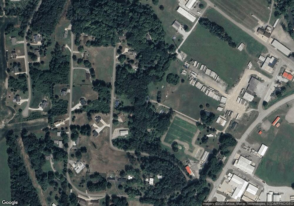
Map
Nearby Homes
- 500 W 13th St
- 2180 Kimberley Dr NW
- 1411 Chestnut St
- 1319 N Walnut St
- 159 Charles Dr
- 3030 N Wooster Ave
- 0 Bair Rd NW Unit 5124469
- 0 Bair Rd NW Unit 5124477
- 0 Bair Rd NW Unit 5124464
- 0 Bair Rd NW Unit 5124485
- 0 Bair Rd NW Unit 5124339
- 0 Bair Rd NW Unit 5124397
- 0 Bair Rd NW Unit 5124402
- 0 Bair Rd NW Unit 5124415
- 0 Bair Rd NW Unit 5124421
- 306 E 15th St
- 227 E Slingluff Ave
- 0000 Red Hill Rd NW
- 0 Swonger Rd Unit 5161456
- 0 Swonger Rd Unit 5161457
- 2330 State Route 516 NW
- 2135 State Route 39 NW
- 2625 Circleview Dr NW
- 2605 Circleview Dr NW
- 0 Circleview
- 2723 Circleview Dr NW
- 2563 Circleview Dr NW
- 2391 Circleview Dr NW
- 2338 State Route 516 NW
- 2962 Circleview Dr NW
- 2751 Circleview Dr NW
- 2580 Circleview Dr NW
- 2924 Circleview Dr NW
- 2996 Circleview Dr NW
- 3326 Circleview Dr NW
- 2892 Circleview Dr NW
- 3086 Circleview Dr NW
- 3272 Circleview Dr NW
- 2161 State Route 39 NW
- 3025 Circleview Dr NW