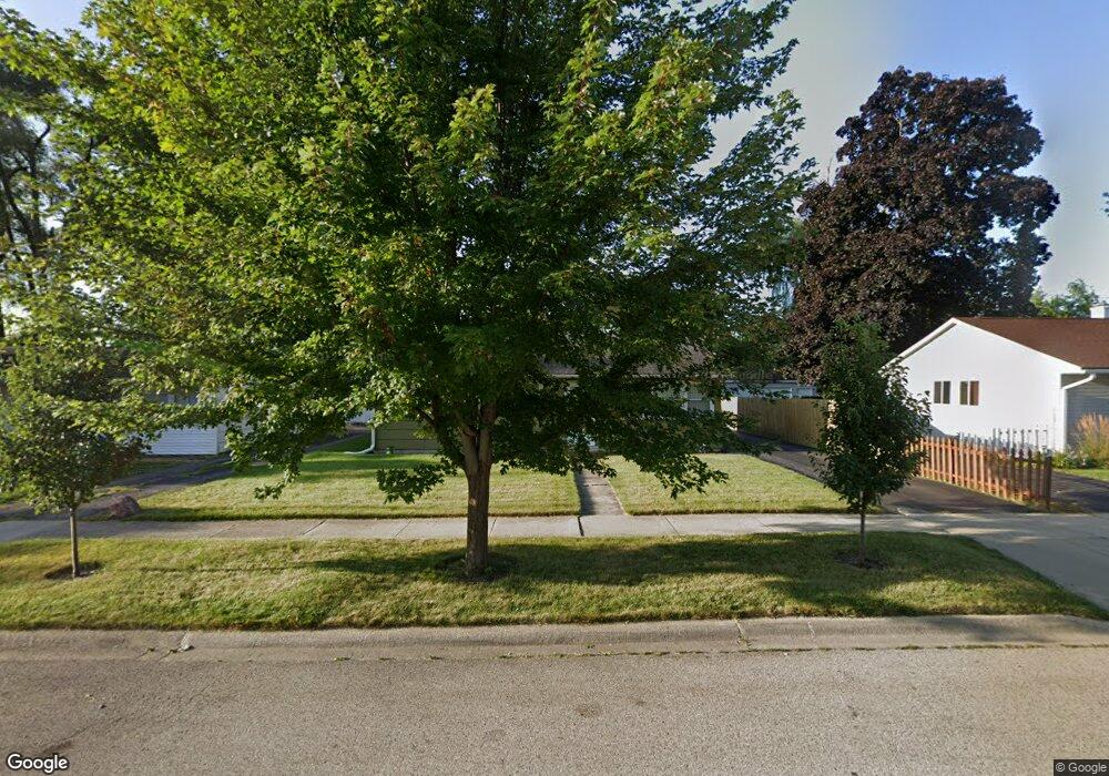
2117 W Grove Ave Waukegan, IL 60085
Estimated Value: $186,000 - $220,426
3
Beds
1
Bath
960
Sq Ft
$209/Sq Ft
Est. Value
About This Home
This home is located at 2117 W Grove Ave, Waukegan, IL 60085 and is currently estimated at $201,107, approximately $209 per square foot. 2117 W Grove Ave is a home located in Lake County with nearby schools including Clearview Elementary School, Miguel Juarez Middle School, and Waukegan High School.
Ownership History
Date
Name
Owned For
Owner Type
Purchase Details
Closed on
Nov 18, 2014
Sold by
Brito Hector and Brito Hilda G
Bought by
Brito Hector
Current Estimated Value
Purchase Details
Closed on
May 3, 2000
Sold by
Mason Neal L and Estate Of Robert C Johnson
Bought by
Brito Hector and Brito Hilda G
Home Financials for this Owner
Home Financials are based on the most recent Mortgage that was taken out on this home.
Original Mortgage
$88,319
Outstanding Balance
$30,775
Interest Rate
8.26%
Mortgage Type
FHA
Estimated Equity
$170,332
Create a Home Valuation Report for This Property
The Home Valuation Report is an in-depth analysis detailing your home's value as well as a comparison with similar homes in the area
Home Values in the Area
Average Home Value in this Area
Purchase History
| Date | Buyer | Sale Price | Title Company |
|---|---|---|---|
| Brito Hector | -- | First American Title | |
| Brito Hector | $89,000 | First American Title |
Source: Public Records
Mortgage History
| Date | Status | Borrower | Loan Amount |
|---|---|---|---|
| Open | Brito Hector | $88,319 | |
| Closed | Brito Hector | $3,000 |
Source: Public Records
Tax History Compared to Growth
Tax History
| Year | Tax Paid | Tax Assessment Tax Assessment Total Assessment is a certain percentage of the fair market value that is determined by local assessors to be the total taxable value of land and additions on the property. | Land | Improvement |
|---|---|---|---|---|
| 2024 | $4,201 | $58,260 | $10,689 | $47,571 |
| 2023 | $4,251 | $52,551 | $9,641 | $42,910 |
| 2022 | $4,251 | $49,482 | $9,062 | $40,420 |
| 2021 | $3,981 | $44,186 | $8,083 | $36,103 |
| 2020 | $3,986 | $41,164 | $7,530 | $33,634 |
| 2019 | $3,959 | $37,720 | $6,900 | $30,820 |
| 2018 | $2,986 | $29,476 | $7,324 | $22,152 |
| 2017 | $2,856 | $26,078 | $6,480 | $19,598 |
| 2016 | $2,575 | $22,661 | $5,631 | $17,030 |
| 2015 | $1,948 | $17,530 | $5,040 | $12,490 |
| 2014 | $2,257 | $18,878 | $4,819 | $14,059 |
| 2012 | $3,017 | $20,452 | $5,220 | $15,232 |
Source: Public Records
Map
Nearby Homes
- 12352 W Atlantic Ave
- 2009 Harding Ave
- 2008 Harding Ave
- 1005 N Lewis Ave
- 1038 Indiana Ave
- 1023 N Elmwood Ave
- 2207 Williamsburg Dr
- 1117 Judge Ave
- 968 Judge Ave
- 1504 W Glen Flora Ave
- 2813 Theresa Ave
- 1213 Grand Ave
- 2440 W Cheyenne Rd
- 615 Tiffany Dr
- 2810 W Atlantic Ave
- 1913 Chippewa Rd
- 1000 Pine St
- 2715 W Greenwood Ave
- 824 N Butrick St
- 1105 Woodlawn Cir
- 2113 W Grove Ave
- 2121 W Grove Ave
- 2109 W Grove Ave
- 1305 N Berwick Blvd
- 2112 W Glen Flora Ave
- 2108 W Glen Flora Ave
- 2120 W Grove Ave
- 2116 W Grove Ave
- 2112 W Grove Ave
- 1300 N Berwick Blvd
- 2104 W Glen Flora Ave
- 1325 N Berwick Blvd
- 2108 W Grove Ave
- 2101 W Grove Ave
- 1308 N Berwick Blvd
- 2100 W Glen Flora Ave
- 2204 W Glen Flora Ave
- 1312 N Berwick Blvd
- 2104 W Grove Ave
- 1316 N Berwick Blvd