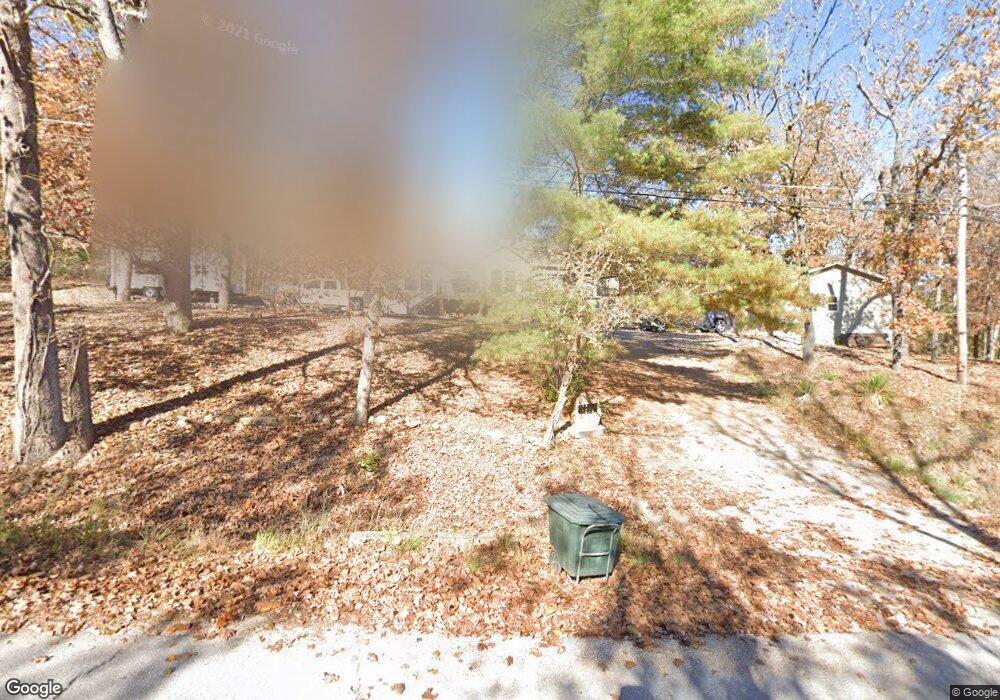
21175 Teardrop Rd Devils Elbow, MO 65457
Estimated Value: $161,962 - $306,000
3
Beds
2
Baths
1,392
Sq Ft
$178/Sq Ft
Est. Value
About This Home
This home is located at 21175 Teardrop Rd, Devils Elbow, MO 65457 and is currently estimated at $247,987, approximately $178 per square foot. 21175 Teardrop Rd is a home located in Pulaski County with nearby schools including Freedom Elementary School, Waynesville East Elementary School, and Waynesville Sixth Grade Center.
Ownership History
Date
Name
Owned For
Owner Type
Purchase Details
Closed on
Feb 29, 2012
Sold by
Koon Erldeen F
Bought by
Martin Rufus D and Martin Kathleen J
Current Estimated Value
Home Financials for this Owner
Home Financials are based on the most recent Mortgage that was taken out on this home.
Original Mortgage
$41,520
Outstanding Balance
$5,334
Interest Rate
3.93%
Mortgage Type
Future Advance Clause Open End Mortgage
Estimated Equity
$242,653
Purchase Details
Closed on
Sep 30, 2011
Sold by
Koon Erldeen F
Bought by
Koon Erldeen F and Revocable Trust Agreement Of Erldeen F K
Create a Home Valuation Report for This Property
The Home Valuation Report is an in-depth analysis detailing your home's value as well as a comparison with similar homes in the area
Purchase History
| Date | Buyer | Sale Price | Title Company |
|---|---|---|---|
| Martin Rufus D | -- | None Available | |
| Koon Erldeen F | -- | None Available |
Source: Public Records
Mortgage History
| Date | Status | Borrower | Loan Amount |
|---|---|---|---|
| Open | Martin Rufus D | $41,520 |
Source: Public Records
Tax History Compared to Growth
Tax History
| Year | Tax Paid | Tax Assessment Tax Assessment Total Assessment is a certain percentage of the fair market value that is determined by local assessors to be the total taxable value of land and additions on the property. | Land | Improvement |
|---|---|---|---|---|
| 2024 | $8 | $18,578 | $2,090 | $16,488 |
| 2023 | $785 | $18,578 | $2,090 | $16,488 |
| 2022 | $724 | $18,483 | $2,090 | $16,393 |
| 2021 | $716 | $18,483 | $2,090 | $16,393 |
| 2020 | $702 | $17,702 | $0 | $0 |
| 2019 | $702 | $17,702 | $0 | $0 |
| 2018 | $127 | $3,211 | $0 | $0 |
| 2017 | $637 | $3,211 | $0 | $0 |
| 2016 | $605 | $16,090 | $0 | $0 |
| 2015 | -- | $16,090 | $0 | $0 |
| 2014 | $601 | $16,090 | $0 | $0 |
Source: Public Records
Map
Nearby Homes
- 22123 Teak Ln
- 1.00 +/- Acre Hartford Rd
- 13705 Hawksbill Dr
- 21987 Teak Ln
- 13222 Hillview Ln
- 13258 Hillview Ln
- 13230 Hillview Ln
- 13272 Half Dr
- 20585 Highway 28
- 20605 Highway 28
- 22255 Target Rd
- 21195 Highway 28
- 129 Birch Tree
- 115 Lakeview Ct
- 107 Birchtree Cir
- 0 Hank Ln
- 14390 Harvey Dr
- 14505 Harvey Dr
- 13446 Highway Z
- 116 Valley Way
- 21157 Teardrop Rd
- 21150 Teardrop Rd
- 21115 Teardrop Rd
- 21525 Tidal Rd
- 6Lot Tranquil Ln
- 21515 Tidal Rd
- 12198 Timber Rd
- 21535 Township Rd
- 12049 Train Rd
- 21515 Township Rd
- 21120 Teardrop Rd
- 12150 Timber Rd
- 21540 Township Rd
- 21400 Tidal Rd
- 0XXX Temporal Sec 20 Twn 36 Rng
- 21050 Teardrop Rd
- 21303 Teardrop Rd
- 21333 Teardrop Rd
- 21995 Temporal Rd
- 10550 Highway Z