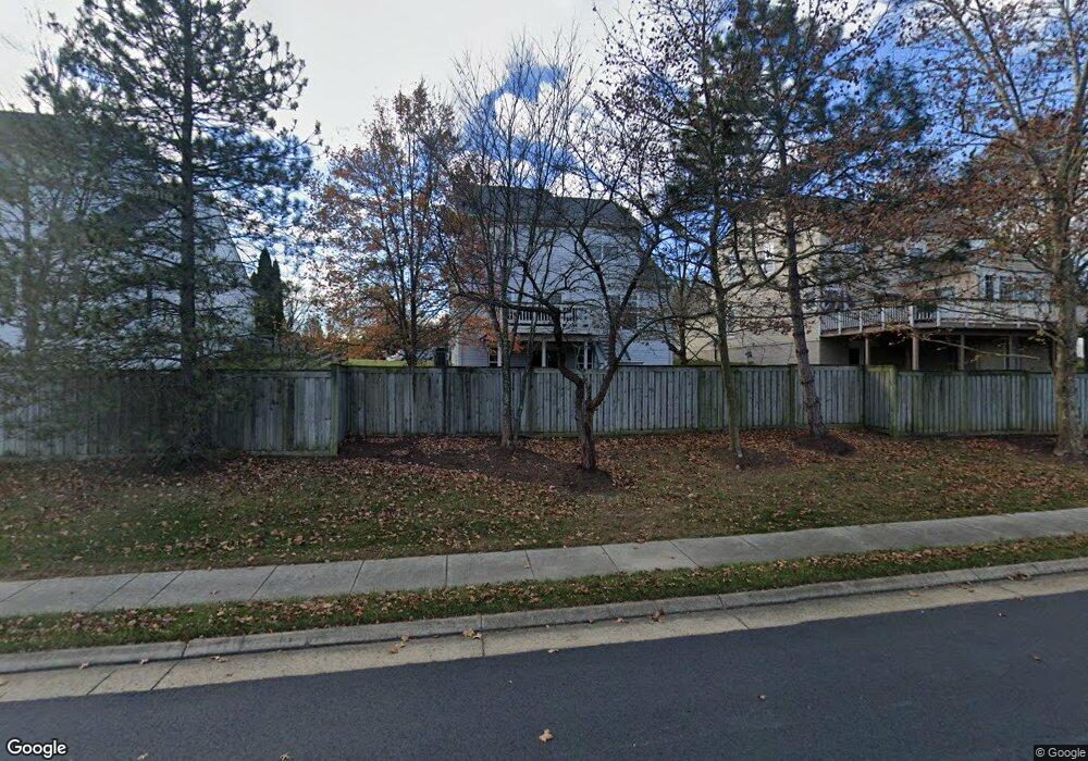
21177 Sundial Ct Broadlands, VA 20148
Estimated Value: $901,875 - $1,015,000
--
Bed
3
Baths
2,136
Sq Ft
$446/Sq Ft
Est. Value
About This Home
This home is located at 21177 Sundial Ct, Broadlands, VA 20148 and is currently estimated at $953,219, approximately $446 per square foot. 21177 Sundial Ct is a home located in Loudoun County with nearby schools including Hillside Elementary School, Eagle Ridge Middle School, and Briar Woods High School.
Ownership History
Date
Name
Owned For
Owner Type
Purchase Details
Closed on
Nov 16, 2001
Sold by
Washington Homes Inc
Bought by
Linn Robert S
Current Estimated Value
Home Financials for this Owner
Home Financials are based on the most recent Mortgage that was taken out on this home.
Original Mortgage
$220,000
Outstanding Balance
$85,860
Interest Rate
6.7%
Estimated Equity
$867,359
Create a Home Valuation Report for This Property
The Home Valuation Report is an in-depth analysis detailing your home's value as well as a comparison with similar homes in the area
Home Values in the Area
Average Home Value in this Area
Purchase History
| Date | Buyer | Sale Price | Title Company |
|---|---|---|---|
| Linn Robert S | $323,055 | -- |
Source: Public Records
Mortgage History
| Date | Status | Borrower | Loan Amount |
|---|---|---|---|
| Open | Linn Robert S | $220,000 |
Source: Public Records
Tax History Compared to Growth
Tax History
| Year | Tax Paid | Tax Assessment Tax Assessment Total Assessment is a certain percentage of the fair market value that is determined by local assessors to be the total taxable value of land and additions on the property. | Land | Improvement |
|---|---|---|---|---|
| 2025 | $7,024 | $872,600 | $322,300 | $550,300 |
| 2024 | $7,183 | $830,390 | $307,300 | $523,090 |
| 2023 | $6,960 | $795,400 | $307,300 | $488,100 |
| 2022 | $6,611 | $742,770 | $267,300 | $475,470 |
| 2021 | $6,099 | $622,380 | $222,300 | $400,080 |
| 2020 | $6,035 | $583,120 | $202,300 | $380,820 |
| 2019 | $5,901 | $564,730 | $202,300 | $362,430 |
| 2018 | $5,927 | $546,310 | $177,300 | $369,010 |
| 2017 | $5,908 | $525,140 | $177,300 | $347,840 |
| 2016 | $5,816 | $507,960 | $0 | $0 |
| 2015 | $5,707 | $325,500 | $0 | $325,500 |
| 2014 | $5,614 | $308,790 | $0 | $308,790 |
Source: Public Records
Map
Nearby Homes
- 42920 Cattail Meadows Place
- 21360 Shady Wood Terrace
- 42612 Hardage Terrace
- 42577 Sunset Ridge Square
- 20897 Murry Falls Terrace
- 000 Murry Falls Terrace
- 0000 Murry Falls Terrace
- 20893 Murry Falls Terrace
- 20891 Murry Falls Terrace
- 20889 Murry Falls Terrace
- 20887 Murry Falls Terrace
- 20885 Murry Falls Terrace
- 20881 Murry Falls Terrace
- 20879 Murry Falls Terrace
- 20877 Murry Falls Terrace
- 20875 Murry Falls Terrace
- 20873 Murry Falls Terrace
- 20871 Murry Falls Terrace
- 20869 Murry Falls Terrace
- 20867 Murry Falls Terrace
- 21173 Sundial Ct
- 21181 Sundial Ct
- 21185 Sundial Ct
- 21172 Sundial Ct
- 21189 Sundial Ct
- 21193 Sundial Ct
- 21184 Sundial Ct
- 21176 Sundial Ct
- 21188 Sundial Ct
- 42850 Champney Ct
- 21197 Sundial Ct
- 42846 Champney Ct
- 21196 Sundial Ct
- 21201 Sundial Ct
- 42847 Champney Ct
- 21200 Sundial Ct
- 21205 Sundial Ct
- 42842 Champney Ct
- 21208 Sundial Ct
- 42975 Sundance Square
