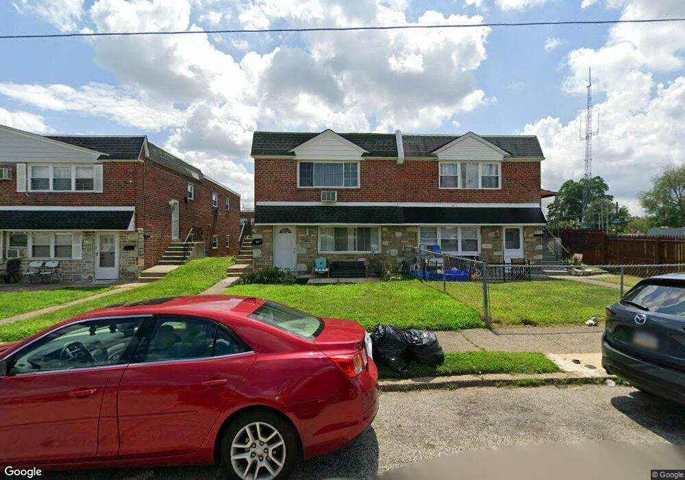
2118 Benson St Philadelphia, PA 19152
Rhawnhurst NeighborhoodEstimated Value: $354,138 - $440,000
--
Bed
--
Bath
2,296
Sq Ft
$178/Sq Ft
Est. Value
About This Home
This home is located at 2118 Benson St, Philadelphia, PA 19152 and is currently estimated at $409,046, approximately $178 per square foot. 2118 Benson St is a home located in Philadelphia County with nearby schools including Farrell Louis H School, Northeast High School, and Tacony Academy Charter School.
Ownership History
Date
Name
Owned For
Owner Type
Purchase Details
Closed on
Mar 3, 2020
Sold by
Andrew Massaro Marc
Bought by
Ibrahim Ibrahim O O
Current Estimated Value
Purchase Details
Closed on
Mar 18, 2003
Sold by
Slavitt Mildred
Bought by
Massaro Marc Andrew
Purchase Details
Closed on
Jan 25, 2002
Sold by
Weiss Norman and Wagner Joel
Bought by
Slavitt Mildred
Purchase Details
Closed on
Sep 21, 2000
Sold by
Estate Of Eva Wagner
Bought by
Wagner Joel
Create a Home Valuation Report for This Property
The Home Valuation Report is an in-depth analysis detailing your home's value as well as a comparison with similar homes in the area
Home Values in the Area
Average Home Value in this Area
Purchase History
| Date | Buyer | Sale Price | Title Company |
|---|---|---|---|
| Ibrahim Ibrahim O O | $320,000 | Mba Abstract | |
| Massaro Marc Andrew | -- | -- | |
| Slavitt Mildred | $122,900 | -- | |
| Wagner Joel | -- | -- |
Source: Public Records
Tax History Compared to Growth
Tax History
| Year | Tax Paid | Tax Assessment Tax Assessment Total Assessment is a certain percentage of the fair market value that is determined by local assessors to be the total taxable value of land and additions on the property. | Land | Improvement |
|---|---|---|---|---|
| 2025 | $4,267 | $390,400 | $78,080 | $312,320 |
| 2024 | $4,267 | $390,400 | $78,080 | $312,320 |
| 2023 | $4,267 | $304,800 | $60,960 | $243,840 |
| 2022 | $3,140 | $304,800 | $60,960 | $243,840 |
| 2021 | $3,140 | $0 | $0 | $0 |
| 2020 | $3,140 | $0 | $0 | $0 |
| 2019 | $2,941 | $0 | $0 | $0 |
| 2018 | $2,738 | $0 | $0 | $0 |
| 2017 | $2,738 | $0 | $0 | $0 |
| 2016 | $2,738 | $0 | $0 | $0 |
| 2015 | $2,621 | $0 | $0 | $0 |
| 2014 | -- | $195,600 | $52,519 | $143,081 |
| 2012 | -- | $24,384 | $2,943 | $21,441 |
Source: Public Records
Map
Nearby Homes
- 2155 Benson St
- 2162 Strahle St
- 2201 Strahle St Unit C302
- 2223 Emerson St
- 2230 Emerson St
- 2321 Emerson St
- 2232 Stanwood St
- 1931 33 Rhawn St
- 1828 Megargee St
- 8523 Benton Ave
- 2302 Rhawn St
- 2029 Loney St
- 2123 Loney St
- 1716 Bergen St
- 1705 Solly Ave
- 1711 Kendrick St
- 2301 Ripley St
- 1700 Kendrick St
- 1832 Mower St
- 1702 Arthur St
- 2120 Benson St
- 2122 Benson St
- 2124 Benson St
- 2126 Benson St
- 2111 Hoffnagle St
- 2113 Hoffnagle St
- 2109 Hoffnagle St
- 2115 Hoffnagle St
- 2117 Hoffnagle St
- 2128 Benson St
- 2119 Hoffnagle St
- 2127 Benson St
- 2131 Benson St
- 2131 Benson St Unit 2ND FL
- 2129 Benson St
- 2125 Benson St Unit 1st Floor
- 2125 Benson St
- 2121 Hoffnagle St
- 2123 Benson St
- 2121 Benson St