2118 Fillingame Pond Rd Dawson, GA 39842
Estimated Value: $122,000 - $962,241
--
Bed
--
Bath
800
Sq Ft
$678/Sq Ft
Est. Value
About This Home
This home is located at 2118 Fillingame Pond Rd, Dawson, GA 39842 and is currently estimated at $542,121, approximately $677 per square foot. 2118 Fillingame Pond Rd is a home with nearby schools including Cooper-Carver Elementary School, Terrell Middle School, and Terrell High School.
Ownership History
Date
Name
Owned For
Owner Type
Purchase Details
Closed on
Dec 16, 2005
Sold by
Harden David
Bought by
Harris Christopher
Current Estimated Value
Purchase Details
Closed on
Jul 12, 2004
Sold by
Lowery Andrew
Bought by
Lowery Danny
Purchase Details
Closed on
Mar 4, 1999
Sold by
Boatenreiter Lee
Bought by
Lowery Danny and Lowery Andre
Purchase Details
Closed on
May 5, 1997
Sold by
Bellflower Tommy
Bought by
Lowery Danny and Lowery Andre
Purchase Details
Closed on
Jan 19, 1996
Sold by
Irwin W
Bought by
Jordan Jordan J and Jordan Wiley
Purchase Details
Closed on
Apr 7, 1994
Sold by
Jordan Jordan J and Jordan Wiley
Bought by
Briscoe Charles
Create a Home Valuation Report for This Property
The Home Valuation Report is an in-depth analysis detailing your home's value as well as a comparison with similar homes in the area
Home Values in the Area
Average Home Value in this Area
Purchase History
| Date | Buyer | Sale Price | Title Company |
|---|---|---|---|
| Harris Christopher | $45,000 | -- | |
| Lowery Danny | -- | -- | |
| Lowery Danny | $87,000 | -- | |
| Lowery Danny | $41,000 | -- | |
| Jordan Jordan J | $83,000 | -- | |
| Lowery Danny | $275,000 | -- | |
| Briscoe Charles | $267,300 | -- |
Source: Public Records
Tax History Compared to Growth
Tax History
| Year | Tax Paid | Tax Assessment Tax Assessment Total Assessment is a certain percentage of the fair market value that is determined by local assessors to be the total taxable value of land and additions on the property. | Land | Improvement |
|---|---|---|---|---|
| 2024 | $4,385 | $186,764 | $154,726 | $32,038 |
| 2023 | $4,292 | $186,764 | $154,726 | $32,038 |
| 2022 | $4,197 | $186,764 | $154,726 | $32,038 |
| 2021 | $4,105 | $186,764 | $154,726 | $32,038 |
| 2020 | $4,017 | $186,764 | $154,726 | $32,038 |
| 2019 | $3,804 | $186,764 | $154,726 | $32,038 |
| 2018 | $3,724 | $186,764 | $154,726 | $32,038 |
| 2017 | $5,600 | $186,764 | $154,726 | $32,038 |
| 2016 | $3,570 | $186,764 | $154,726 | $32,038 |
| 2015 | -- | $186,763 | $154,726 | $32,038 |
| 2014 | -- | $186,764 | $154,726 | $32,038 |
| 2013 | -- | $186,763 | $154,726 | $32,037 |
Source: Public Records
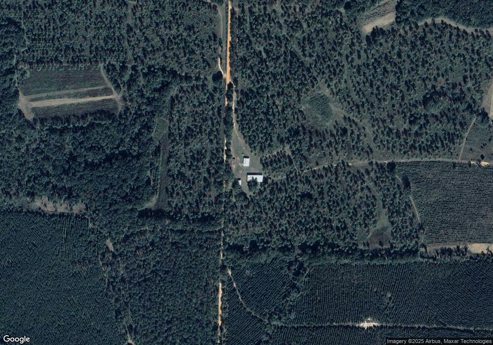
Map
Nearby Homes
- 1853 Warner Rd
- 1075 Cox Rd
- 1071 Cox Rd
- 109 Main St
- 161 College St
- 318 Church St
- 0 Main St
- 151 College St NE
- 448 Henry Mitchell Dr NE
- 3947 Americus Hwy
- 540 Veneys Mill Pond Rd
- 434 Foster Ave
- 904 Ash St NE
- 219 Main St E
- 978 Lovers Ln
- 0 Cooper Dr NE Unit 7597500
- 0 Cooper Dr NE Unit 10543060
- 828 Cooper Dr NE
- 150 Thornton St NE
- 1264 Ball Park Ave NE