2118 Laurel Oak Dr Unit 280 Howell, MI 48855
Estimated Value: $366,061 - $437,000
3
Beds
2
Baths
1,893
Sq Ft
$209/Sq Ft
Est. Value
About This Home
This home is located at 2118 Laurel Oak Dr Unit 280, Howell, MI 48855 and is currently estimated at $395,015, approximately $208 per square foot. 2118 Laurel Oak Dr Unit 280 is a home located in Livingston County with nearby schools including Ruahmah J. Hutchings Elementary, Parker Middle School, and Howell High School.
Ownership History
Date
Name
Owned For
Owner Type
Purchase Details
Closed on
Jan 2, 2018
Sold by
Ronald P & C A Diebol Ft
Bought by
Diebol Ronald P and Diebol Christine A
Current Estimated Value
Purchase Details
Closed on
Nov 16, 2011
Sold by
Diebol Ronald P and Diebol Christine A
Bought by
Diebol Christine A and Diebol Ronald P
Purchase Details
Closed on
Jul 8, 1999
Sold by
Mastej Master Builders Inc
Bought by
Diebol Ronald P and Diebol Christine A
Home Financials for this Owner
Home Financials are based on the most recent Mortgage that was taken out on this home.
Original Mortgage
$147,000
Interest Rate
7.54%
Purchase Details
Closed on
Jan 22, 1999
Sold by
M & 59 Inc
Bought by
Mastej Master Builders Inc
Create a Home Valuation Report for This Property
The Home Valuation Report is an in-depth analysis detailing your home's value as well as a comparison with similar homes in the area
Home Values in the Area
Average Home Value in this Area
Purchase History
| Date | Buyer | Sale Price | Title Company |
|---|---|---|---|
| Diebol Ronald P | -- | -- | |
| Diebol Christine A | -- | -- | |
| Diebol Ronald P | $197,000 | American Title Co | |
| Mastej Master Builders Inc | $74,000 | -- |
Source: Public Records
Mortgage History
| Date | Status | Borrower | Loan Amount |
|---|---|---|---|
| Previous Owner | Diebol Ronald P | $147,000 |
Source: Public Records
Tax History Compared to Growth
Tax History
| Year | Tax Paid | Tax Assessment Tax Assessment Total Assessment is a certain percentage of the fair market value that is determined by local assessors to be the total taxable value of land and additions on the property. | Land | Improvement |
|---|---|---|---|---|
| 2025 | $1,624 | $173,700 | $0 | $0 |
| 2024 | $2,295 | $169,500 | $0 | $0 |
| 2023 | $1,507 | $152,300 | $0 | $0 |
| 2022 | $2,111 | $126,500 | $0 | $0 |
| 2021 | $2,111 | $133,100 | $0 | $0 |
| 2020 | $2,111 | $126,500 | $0 | $0 |
| 2019 | $2,081 | $116,100 | $0 | $0 |
| 2018 | $2,056 | $108,600 | $0 | $0 |
| 2017 | $2,029 | $105,200 | $0 | $0 |
| 2016 | $2,018 | $101,100 | $0 | $0 |
| 2014 | $2,220 | $85,600 | $0 | $0 |
| 2012 | $2,220 | $79,100 | $0 | $0 |
Source: Public Records
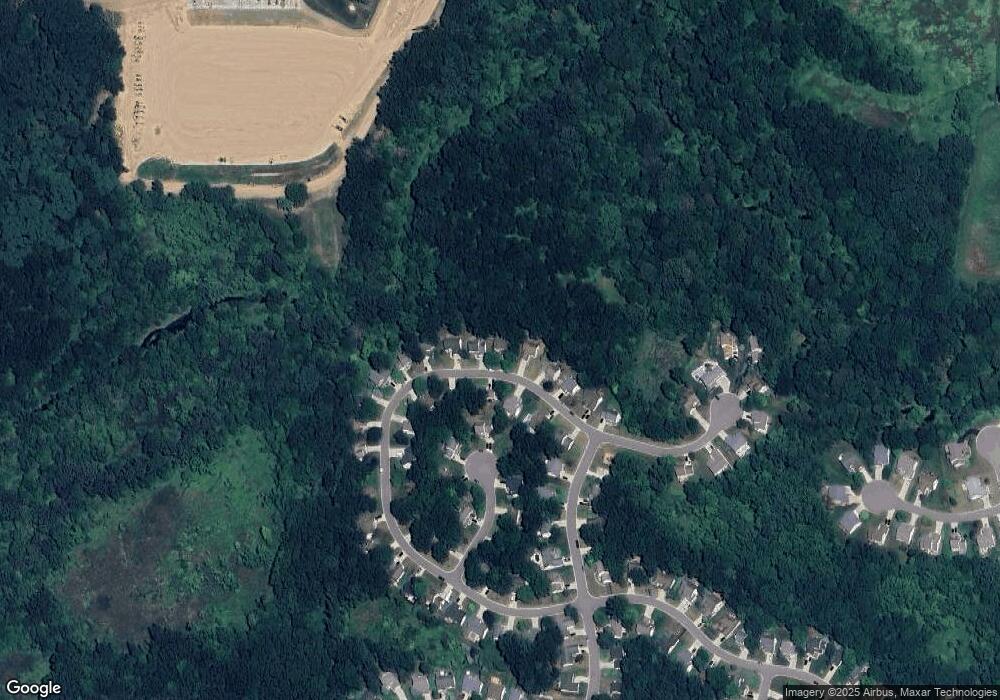
Map
Nearby Homes
- 2511 Kerria Dr Unit 42
- 1570 Princewood Blvd
- 1400 Oakcrest Rd
- 1633 Frech Ln
- 2500 Fisher Rd
- VACANT LOT Thompson Shore Dr
- 3040 Bogues View Dr
- 2932 Bogue Creek Dr
- 559 Cannonade Loop
- 475 Cannonade Loop
- The Austin Plan at Broadmoor
- The Charlotte Plan at Broadmoor
- The Harrison Plan at Broadmoor
- The Bloomington Plan at Broadmoor
- The Columbia Plan at Broadmoor
- 2424 Fisher Rd
- 571 Cannonade Loop
- 523 Cannonade Loop
- 583 Cannonade Loop
- 304 Victoria Park Dr Unit 45
- 2126 Laurel Oak Dr Unit 281
- 2110 Laurel Oak Dr Unit 279
- 2121 Laurel Oak Dr Unit 273
- 2134 Laurel Oak Dr Unit 282
- 2134 Laurel Oak Dr N
- 2102 Laurel Oak Dr Unit 278
- 2121 Laurel Oak Dr N
- 2105 Laurel Oak Dr Unit 274
- 2133 Laurel Oak Dr Unit 272
- 2133 Laurel Oak Dr N
- 2094 Laurel Oak Dr
- 2142 Laurel Oak Dr Unit 283
- 2091 Laurel Oak Dr Unit 275
- 2050 Saddle Ridge Ct Unit 262
- 2150 Laurel Oak Dr Unit 284
- 2086 Laurel Oak Dr Unit 276
- 2150 Laurel Oak Dr N
- 2063 Saddle Ridge Ct Unit 261
- 2085 Laurel Oak Dr
- 2058 Saddle Ridge Ct Unit 263