2118 N Hawk Peak Mesa, AZ 85207
Desert Uplands NeighborhoodEstimated Value: $1,034,272 - $1,114,000
Studio
--
Bath
3,204
Sq Ft
$339/Sq Ft
Est. Value
About This Home
This home is located at 2118 N Hawk Peak, Mesa, AZ 85207 and is currently estimated at $1,087,568, approximately $339 per square foot. 2118 N Hawk Peak is a home with nearby schools including Franklin at Brimhall Elementary School, Zaharis Elementary School, and Franklin West Elementary School.
Ownership History
Date
Name
Owned For
Owner Type
Purchase Details
Closed on
Feb 11, 2016
Sold by
Cali Richard J and Cali Antoinette M
Bought by
Joint Richard J Cali and Joint Antoinette M Cali
Current Estimated Value
Home Financials for this Owner
Home Financials are based on the most recent Mortgage that was taken out on this home.
Original Mortgage
$100,000
Outstanding Balance
$43,128
Interest Rate
3.98%
Mortgage Type
New Conventional
Estimated Equity
$1,044,440
Purchase Details
Closed on
Feb 8, 2016
Sold by
Blandford Homes Llc
Bought by
Cali Richard J and Cali Antoinette M
Home Financials for this Owner
Home Financials are based on the most recent Mortgage that was taken out on this home.
Original Mortgage
$100,000
Outstanding Balance
$43,128
Interest Rate
3.98%
Mortgage Type
New Conventional
Estimated Equity
$1,044,440
Create a Home Valuation Report for This Property
The Home Valuation Report is an in-depth analysis detailing your home's value as well as a comparison with similar homes in the area
Home Values in the Area
Average Home Value in this Area
Purchase History
| Date | Buyer | Sale Price | Title Company |
|---|---|---|---|
| Joint Richard J Cali | -- | None Available | |
| Cali Richard J | $529,408 | Old Republic Title Agency |
Source: Public Records
Mortgage History
| Date | Status | Borrower | Loan Amount |
|---|---|---|---|
| Open | Cali Richard J | $100,000 |
Source: Public Records
Tax History
| Year | Tax Paid | Tax Assessment Tax Assessment Total Assessment is a certain percentage of the fair market value that is determined by local assessors to be the total taxable value of land and additions on the property. | Land | Improvement |
|---|---|---|---|---|
| 2025 | $4,976 | $56,514 | -- | -- |
| 2024 | $4,993 | $53,823 | -- | -- |
| 2023 | $4,993 | $78,670 | $15,730 | $62,940 |
| 2022 | $4,877 | $63,030 | $12,600 | $50,430 |
| 2021 | $4,944 | $61,570 | $12,310 | $49,260 |
| 2020 | $4,872 | $57,670 | $11,530 | $46,140 |
| 2019 | $4,512 | $54,670 | $10,930 | $43,740 |
| 2018 | $4,306 | $52,050 | $10,410 | $41,640 |
| 2017 | $4,160 | $50,330 | $10,060 | $40,270 |
| 2016 | $327 | $11,625 | $11,625 | $0 |
| 2015 | $328 | $3,456 | $3,456 | $0 |
Source: Public Records
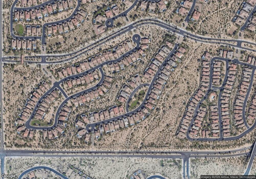
Map
Nearby Homes
- 8537 E Kenwood St
- 2041 N 88th St
- 2152 N 88th St
- 2145 N 88th St
- 8747 E Jaeger St
- 2133 N Atwood
- 2058 N 89th St
- 2109 N Red Cliff
- 8751 E Menlo Cir
- 8322 E Kael St
- 2040 N Woodruff
- 2219 N Estates Cir
- 8334 E Laurel Cir
- 8724 E Ivy St
- 8641 E Ivy St
- 8653 E Ivy St
- 1832 N Red Cliff
- 1947 N Channing
- 1805 N Red Cliff
- 1813 N Red Cliff
- 2124 N Hawk Peak
- 2112 N Hawk Peak
- 2106 N Hawk Peak
- 2130 N Hawk Peak
- 2058 N Steele Cir
- 2148 N Steele
- 2107 N Steele
- 2125 N Steele
- 2119 N Steele
- 8565 E Kenwood St
- 2101 N Steele
- 2131 N Steele
- 8561 E Kenwood St
- 2113 N Steele
- 8557 E Kenwood St
- 2065 N Steele
- 2137 N Steele
- 8613 E Kael Cir
- 2046 N Steele Cir
- 8617 E Kael Cir
Your Personal Tour Guide
Ask me questions while you tour the home.