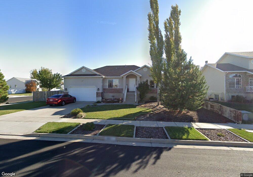
2118 S 1900 W Syracuse, UT 84075
Estimated Value: $515,000 - $581,000
3
Beds
2
Baths
1,560
Sq Ft
$344/Sq Ft
Est. Value
About This Home
This home is located at 2118 S 1900 W, Syracuse, UT 84075 and is currently estimated at $537,127, approximately $344 per square foot. 2118 S 1900 W is a home located in Davis County with nearby schools including Syracuse Elementary School, Syracuse Junior High School, and Syracuse High School.
Ownership History
Date
Name
Owned For
Owner Type
Purchase Details
Closed on
Jan 19, 2000
Sold by
Holmes Creek Construction Lc
Bought by
Barton Dennis K and Barton Karen M
Current Estimated Value
Home Financials for this Owner
Home Financials are based on the most recent Mortgage that was taken out on this home.
Original Mortgage
$138,500
Outstanding Balance
$44,005
Interest Rate
7.84%
Estimated Equity
$493,122
Purchase Details
Closed on
Jan 20, 1999
Sold by
Achter Mark
Bought by
Holmes Creek Construction Lc
Home Financials for this Owner
Home Financials are based on the most recent Mortgage that was taken out on this home.
Original Mortgage
$110,600
Interest Rate
6.63%
Create a Home Valuation Report for This Property
The Home Valuation Report is an in-depth analysis detailing your home's value as well as a comparison with similar homes in the area
Home Values in the Area
Average Home Value in this Area
Purchase History
| Date | Buyer | Sale Price | Title Company |
|---|---|---|---|
| Barton Dennis K | -- | Bonneville Title Company Inc | |
| Holmes Creek Construction Lc | -- | Bonneville Title Company Inc | |
| Holmes Creek Construction Lc | -- | Avis & Archibald Title Ins |
Source: Public Records
Mortgage History
| Date | Status | Borrower | Loan Amount |
|---|---|---|---|
| Open | Barton Dennis K | $138,500 | |
| Previous Owner | Holmes Creek Construction Lc | $110,600 |
Source: Public Records
Tax History Compared to Growth
Tax History
| Year | Tax Paid | Tax Assessment Tax Assessment Total Assessment is a certain percentage of the fair market value that is determined by local assessors to be the total taxable value of land and additions on the property. | Land | Improvement |
|---|---|---|---|---|
| 2025 | $2,742 | $264,550 | $118,283 | $146,267 |
| 2024 | $2,610 | $253,550 | $97,415 | $156,135 |
| 2023 | $2,447 | $433,000 | $135,760 | $297,240 |
| 2022 | $2,670 | $259,050 | $78,206 | $180,844 |
| 2021 | $2,377 | $357,000 | $115,524 | $241,476 |
| 2020 | $2,091 | $304,000 | $100,841 | $203,159 |
| 2019 | $1,971 | $283,000 | $98,314 | $184,686 |
| 2018 | $1,965 | $280,000 | $95,086 | $184,914 |
| 2016 | $1,713 | $128,040 | $36,505 | $91,535 |
| 2015 | $1,636 | $116,435 | $36,505 | $79,930 |
| 2014 | $1,577 | $114,380 | $36,505 | $77,875 |
| 2013 | -- | $110,430 | $32,054 | $78,376 |
Source: Public Records
Map
Nearby Homes
- 2194 S 1800 W
- 2082 S 1730 W
- 2306 S 2000 W
- 2104 W 2200 S
- 2136 W 2200 S
- 1932 S 2150 W
- 2237 Craig Ln
- 2503 S 1875 W
- 2297 W 2175 S
- 2208 W 2615 S Unit 141
- 2198 W 2615 S Unit 140
- 2158 W 2615 S Unit 137
- 2650 S 2000 W
- 4344 W 1825 S Unit 102
- 4354 W 1825 S Unit 104
- 4348 W 1825 S Unit 103
- 2154 W 2700 S
- 1306 W 2325 S
- 1315 W 2325 S
- 1286 W 2325 S