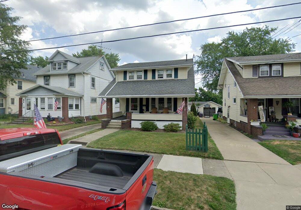
2118 S Linden Ave Alliance, OH 44601
Estimated Value: $128,000 - $142,000
3
Beds
1
Bath
1,356
Sq Ft
$99/Sq Ft
Est. Value
About This Home
This home is located at 2118 S Linden Ave, Alliance, OH 44601 and is currently estimated at $134,372, approximately $99 per square foot. 2118 S Linden Ave is a home located in Stark County with nearby schools including Alliance Elementary School at Rockhill, Alliance Intermediate School at Northside, and Alliance Middle School.
Ownership History
Date
Name
Owned For
Owner Type
Purchase Details
Closed on
Sep 5, 1997
Sold by
Rhome Arthur C
Bought by
Rhome Christopher M
Current Estimated Value
Home Financials for this Owner
Home Financials are based on the most recent Mortgage that was taken out on this home.
Original Mortgage
$53,200
Outstanding Balance
$8,295
Interest Rate
7.54%
Mortgage Type
New Conventional
Estimated Equity
$126,077
Create a Home Valuation Report for This Property
The Home Valuation Report is an in-depth analysis detailing your home's value as well as a comparison with similar homes in the area
Home Values in the Area
Average Home Value in this Area
Purchase History
| Date | Buyer | Sale Price | Title Company |
|---|---|---|---|
| Rhome Christopher M | $56,000 | -- |
Source: Public Records
Mortgage History
| Date | Status | Borrower | Loan Amount |
|---|---|---|---|
| Open | Rhome Christopher M | $53,200 |
Source: Public Records
Tax History
| Year | Tax Paid | Tax Assessment Tax Assessment Total Assessment is a certain percentage of the fair market value that is determined by local assessors to be the total taxable value of land and additions on the property. | Land | Improvement |
|---|---|---|---|---|
| 2025 | -- | $42,070 | $8,680 | $33,390 |
| 2024 | -- | $42,070 | $8,680 | $33,390 |
| 2023 | $1,221 | $30,380 | $6,790 | $23,590 |
| 2022 | $615 | $30,380 | $6,790 | $23,590 |
| 2021 | $1,231 | $30,380 | $6,790 | $23,590 |
| 2020 | $1,132 | $26,080 | $5,920 | $20,160 |
| 2019 | $1,116 | $26,090 | $5,920 | $20,170 |
Source: Public Records
Map
Nearby Homes
- 2041 Watson Ave
- 2408 S Linden Ave
- 152 E Mill St
- 1823 S Seneca Ave
- 2405 Cherry Ave
- 2372 S Union Ave
- 2406 S Union Ave
- 555 E Milton St
- 1608 S Liberty Ave
- 853 Fairway Dr
- 233 Shadyside Ct
- 834 Devine St
- 1350 S Freedom Ave
- 1522 Wade Ave
- 2943 S Union Ave
- 167 11th St
- 2705 Shunk Ave
- 134 11th St
- 2625 Belleflower Dr
- 226 Milner St
- 2112 S Linden Ave
- 2128 S Linden Ave
- 2068 S Linden Ave
- 416 E Mill St
- 2058 S Linden Ave
- 426 E Mill St
- 404 E Mill St
- 438 E Mill St
- 448 E Mill St
- 2050 S Linden Ave
- 356 E Mill St
- 458 E Mill St
- 2040 S Linden Ave
- 2115 S Linden Ave
- 2127 S Linden Ave
- 344 E Mill St
- 2105 S Linden Ave
- 425 E Mill St
- 2206 S Linden Ave
- 2059 S Linden Ave
Your Personal Tour Guide
Ask me questions while you tour the home.