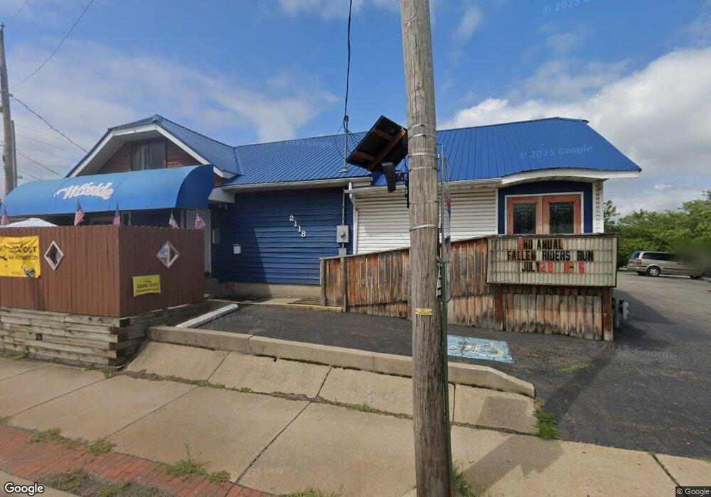
2118 S Main St Akron, OH 44301
Firestone Park NeighborhoodEstimated Value: $1,476,755
Studio
2
Baths
9,350
Sq Ft
$158/Sq Ft
Est. Value
About This Home
This home is located at 2118 S Main St, Akron, OH 44301 and is currently estimated at $1,476,755, approximately $157 per square foot. 2118 S Main St is a home located in Summit County with nearby schools including Kenmore Garfield Community Learning Center.
Ownership History
Date
Name
Owned For
Owner Type
Purchase Details
Closed on
Aug 4, 2017
Sold by
Lindsay Robert
Bought by
Key Club Llc
Current Estimated Value
Home Financials for this Owner
Home Financials are based on the most recent Mortgage that was taken out on this home.
Original Mortgage
$150,000
Outstanding Balance
$33,608
Interest Rate
4.03%
Mortgage Type
Commercial
Estimated Equity
$1,443,147
Purchase Details
Closed on
May 8, 2013
Sold by
Lindsay Robert E
Bought by
Lindsay Robert and The Robert Lindsay Revocable Family Trus
Purchase Details
Closed on
Jul 10, 2000
Sold by
Lindsay Deborah
Bought by
Lindsay Robert E
Create a Home Valuation Report for This Property
The Home Valuation Report is an in-depth analysis detailing your home's value as well as a comparison with similar homes in the area
Home Values in the Area
Average Home Value in this Area
Purchase History
| Date | Buyer | Sale Price | Title Company |
|---|---|---|---|
| Key Club Llc | $800,000 | Heritage Union Title Co Ltd | |
| Lindsay Robert | -- | None Available | |
| Lindsay Robert E | -- | -- |
Source: Public Records
Mortgage History
| Date | Status | Borrower | Loan Amount |
|---|---|---|---|
| Open | Key Club Llc | $150,000 |
Source: Public Records
Tax History
| Year | Tax Paid | Tax Assessment Tax Assessment Total Assessment is a certain percentage of the fair market value that is determined by local assessors to be the total taxable value of land and additions on the property. | Land | Improvement |
|---|---|---|---|---|
| 2024 | $6,270 | $67,697 | $17,171 | $50,526 |
| 2023 | $6,396 | $67,697 | $17,171 | $50,526 |
| 2022 | $6,396 | $67,697 | $17,171 | $50,526 |
| 2021 | $6,404 | $67,697 | $17,171 | $50,526 |
| 2020 | $6,927 | $67,700 | $17,170 | $50,530 |
| 2019 | $6,873 | $67,970 | $13,260 | $54,710 |
| 2018 | $6,891 | $67,970 | $13,260 | $54,710 |
| 2017 | $6,819 | $67,970 | $13,260 | $54,710 |
| 2016 | $6,819 | $68,660 | $13,950 | $54,710 |
| 2015 | $6,819 | $68,660 | $13,950 | $54,710 |
| 2014 | $6,740 | $68,660 | $13,950 | $54,710 |
| 2013 | $6,911 | $68,740 | $11,860 | $56,880 |
Source: Public Records
Map
Nearby Homes
- 37 & 39 W Woodsdale Ave
- 23 Wayne Ave
- 16 E Catawba Ave
- 22 Youtz Ave
- 30 Youtz Ave
- 1870 Dallas Ave
- 231 E Dresden Ave
- 1842 Thornapple Ave
- 62 E Rosewood Ave
- 41 E Rosewood Ave
- 1835 Thornapple Ave
- 14 E Dartmore Ave
- 2407 Nesmith Lake Blvd
- 29 E Dartmore Ave
- 244 E Catawba Ave
- 75 W Dartmore Ave
- 248 E Catawba Ave
- 16 Palmetto Ave
- 364 Rexford St
- 1582 Evergreen Ave
- 2126 S Main St
- 2102 S Main St
- 17 W Boxwood Ave
- 21 W Boxwood Ave
- 25 W Boxwood Ave
- 20 W Ralston Ave
- 20 W Ralston Ave
- 35 W Boxwood Ave
- 26 W Ralston Ave
- 22 W Ralston Ave
- 39 W Boxwood Ave
- 2087 S Main St
- 45 W Boxwood Ave
- 30 W Ralston Ave
- 20 E Ralston Ave
- 24 E Ralston Ave
- 2125 S Main St
- 49 W Boxwood Ave
- 46 W Ralston Ave
- 21 W Ralston Ave
Your Personal Tour Guide
Ask me questions while you tour the home.