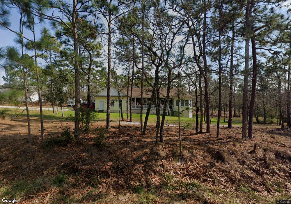
2118 Wilmington Rd Southport, NC 28461
Estimated Value: $373,000 - $385,376
3
Beds
3
Baths
1,661
Sq Ft
$228/Sq Ft
Est. Value
About This Home
This home is located at 2118 Wilmington Rd, Southport, NC 28461 and is currently estimated at $379,344, approximately $228 per square foot. 2118 Wilmington Rd is a home located in Brunswick County with nearby schools including Bolivia Elementary School, South Brunswick Middle School, and South Brunswick High School.
Ownership History
Date
Name
Owned For
Owner Type
Purchase Details
Closed on
Aug 4, 2024
Sold by
Roberts Melanie R and Roberts Eric
Bought by
Guerin Paul Gilbert
Current Estimated Value
Purchase Details
Closed on
Jun 8, 2017
Sold by
Williams Michael Scott
Bought by
Roberts Melanie and Williams Melanie Rosanne
Purchase Details
Closed on
Aug 1, 2004
Bought by
Williams Michael Et Melanie
Create a Home Valuation Report for This Property
The Home Valuation Report is an in-depth analysis detailing your home's value as well as a comparison with similar homes in the area
Home Values in the Area
Average Home Value in this Area
Purchase History
| Date | Buyer | Sale Price | Title Company |
|---|---|---|---|
| Guerin Paul Gilbert | -- | None Listed On Document | |
| Guerin Paul Gilbert | -- | None Listed On Document | |
| Roberts Melanie | -- | None Available | |
| Williams Michael Et Melanie | $15,000 | -- |
Source: Public Records
Tax History Compared to Growth
Tax History
| Year | Tax Paid | Tax Assessment Tax Assessment Total Assessment is a certain percentage of the fair market value that is determined by local assessors to be the total taxable value of land and additions on the property. | Land | Improvement |
|---|---|---|---|---|
| 2025 | $2,217 | $379,220 | $36,250 | $342,970 |
| 2024 | $2,217 | $379,220 | $36,250 | $342,970 |
| 2023 | $2,022 | $379,220 | $36,250 | $342,970 |
| 2022 | $0 | $243,890 | $18,000 | $225,890 |
| 2021 | $0 | $243,890 | $18,000 | $225,890 |
| 2020 | $1,881 | $243,890 | $18,000 | $225,890 |
| 2019 | $1,881 | $19,160 | $18,000 | $1,160 |
| 2018 | $1,589 | $25,390 | $24,000 | $1,390 |
| 2017 | $1,548 | $25,390 | $24,000 | $1,390 |
| 2016 | $1,523 | $25,390 | $24,000 | $1,390 |
| 2015 | $1,523 | $204,800 | $24,000 | $180,800 |
| 2014 | $1,320 | $199,208 | $19,210 | $179,998 |
Source: Public Records
Map
Nearby Homes
- 32 S High Point Rd
- 1990 Salisbury Rd
- 1950 Salisbury Rd
- Lot 10 E Boiling Spring Rd
- 1996 E Boiling Spring Rd
- 2695 E Boiling Spring Rd
- L-272 E Boiling Spring Rd
- 32 Shelby Rd
- 2031 Pinehurst
- 1951 E Boiling Spring Rd
- 499 Argonne Rd
- 1840 Raeford Rd
- 0 Greensboro Rd
- 2010 Albemarle Rd
- 1854 Salisbury Rd
- 1848 Salisbury Rd
- 1820 Raeford Rd
- 2317 Frink Lake Dr
- 1810 Raeford Rd
- 2309 Frink Lake Dr
- 98 S High Point Rd
- 412 Argonne Rd
- 96 S Greensboro
- 99 S High Point Rd
- 79 Greensboro Rd
- 99 High Point Rd
- 99 S S High Point Rd
- 398 Argonne Rd
- 88 S Greensboro
- 95 High Point Rd
- L-9 Greensboro
- 0 L-9 Greensboro
- 0 Greensboro
- 72 High Point Rd
- 87 High Point Rd
- 380 Argonne Rd
- 0 Laurinburg Unit 20633425
- 0 Laurinburg Unit 20639748
- 0 2 79 Ac Laurinburg Unit 20651792
- 0 Laurinburg Unit 20665156