2119 Blueberry Ln Conyers, GA 30013
Estimated Value: $333,106 - $402,000
4
Beds
3
Baths
2,712
Sq Ft
$135/Sq Ft
Est. Value
About This Home
This home is located at 2119 Blueberry Ln, Conyers, GA 30013 and is currently estimated at $366,277, approximately $135 per square foot. 2119 Blueberry Ln is a home located in Rockdale County with nearby schools including Flat Shoals Elementary School, Memorial Middle School, and Salem High School.
Ownership History
Date
Name
Owned For
Owner Type
Purchase Details
Closed on
May 13, 2022
Sold by
Mile High Borrower 1 Income Llc
Bought by
Mile High Tl Borrower 1 Income Llc
Current Estimated Value
Purchase Details
Closed on
Sep 23, 2021
Sold by
Opendoor Property Trust I
Bought by
Mile High Borrower 1 Income Llc
Purchase Details
Closed on
Sep 1, 2021
Sold by
Demissie Rahel A
Bought by
Opendoor Property Trust I
Create a Home Valuation Report for This Property
The Home Valuation Report is an in-depth analysis detailing your home's value as well as a comparison with similar homes in the area
Home Values in the Area
Average Home Value in this Area
Purchase History
| Date | Buyer | Sale Price | Title Company |
|---|---|---|---|
| Mile High Tl Borrower 1 Income Llc | -- | -- | |
| Mile High Borrower 1 Income Llc | $330,000 | -- | |
| Opendoor Property Trust I | $307,400 | -- |
Source: Public Records
Tax History Compared to Growth
Tax History
| Year | Tax Paid | Tax Assessment Tax Assessment Total Assessment is a certain percentage of the fair market value that is determined by local assessors to be the total taxable value of land and additions on the property. | Land | Improvement |
|---|---|---|---|---|
| 2024 | $5,021 | $125,800 | $31,960 | $93,840 |
| 2023 | $4,183 | $101,520 | $18,800 | $82,720 |
| 2022 | $3,950 | $95,640 | $18,800 | $76,840 |
| 2021 | $2,378 | $95,640 | $18,800 | $76,840 |
| 2020 | $2,287 | $89,880 | $16,800 | $73,080 |
| 2019 | $1,856 | $74,040 | $12,800 | $61,240 |
| 2018 | $1,868 | $74,040 | $12,800 | $61,240 |
| 2017 | $1,672 | $67,000 | $12,800 | $54,200 |
| 2016 | $1,546 | $67,000 | $12,800 | $54,200 |
| 2015 | $1,189 | $54,600 | $8,000 | $46,600 |
| 2014 | $1,048 | $53,840 | $8,000 | $45,840 |
| 2013 | -- | $61,200 | $12,400 | $48,800 |
Source: Public Records
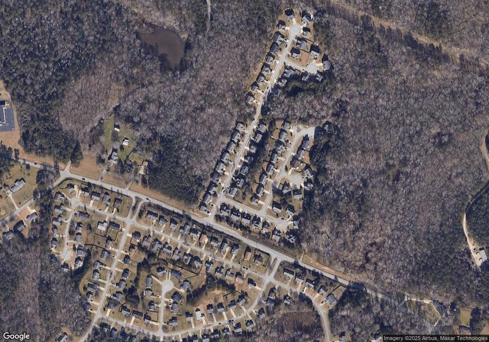
Map
Nearby Homes
- 2260 Ashton Ridge Dr SE
- 2256 Ashton Dr
- 2240 Ashton Dr
- 2100 NE Adel Rd
- The Norwood II Plan at Glendale Towns
- The Maddux II Plan at Glendale Towns
- The Ellison II Plan at Glendale Towns
- 2222 Ashton Dr
- 1450 Steam Engine Way NE
- 1440 Steam Engine Way NE
- 1432 Steam Engine Way NE
- 2676 NE Almand Ln
- 1509 Aralynn Way Unit 1
- 0 N Salem Old Covington Rd Unit 10848564
- 360 Glen Rd NE
- 2710 Glendale Dr NE
- 2251 Ginger Lake Dr NE
- 2516 Riverside Rd
- 2522 Riverside Rd
- 2548 Riverside Rd
- 2123 Blueberry Ln
- 2115 Blueberry Ln
- 2308 Prime Point
- 2127 Blueberry Ln
- 2312 Prime Point
- 2304 Prime Point
- 2111 Blueberry Ln
- 2120 Blueberry Ln Unit 2120
- 2120 Blueberry Ln
- 2116 Blueberry Ln
- 2316 Prime Point
- 2131 Blueberry Ln Unit 32
- 2131 Blueberry Ln
- 2124 Blueberry Ln
- 2124 Blueberry Ln Unit 2124
- 2112 Blueberry Ln
- 0 Smoke Ct Unit 7463052
- 0 Smoke Ct Unit 7197782
- 0 Prime Point Unit 7102846
- 0 Prime Point Unit 7090874