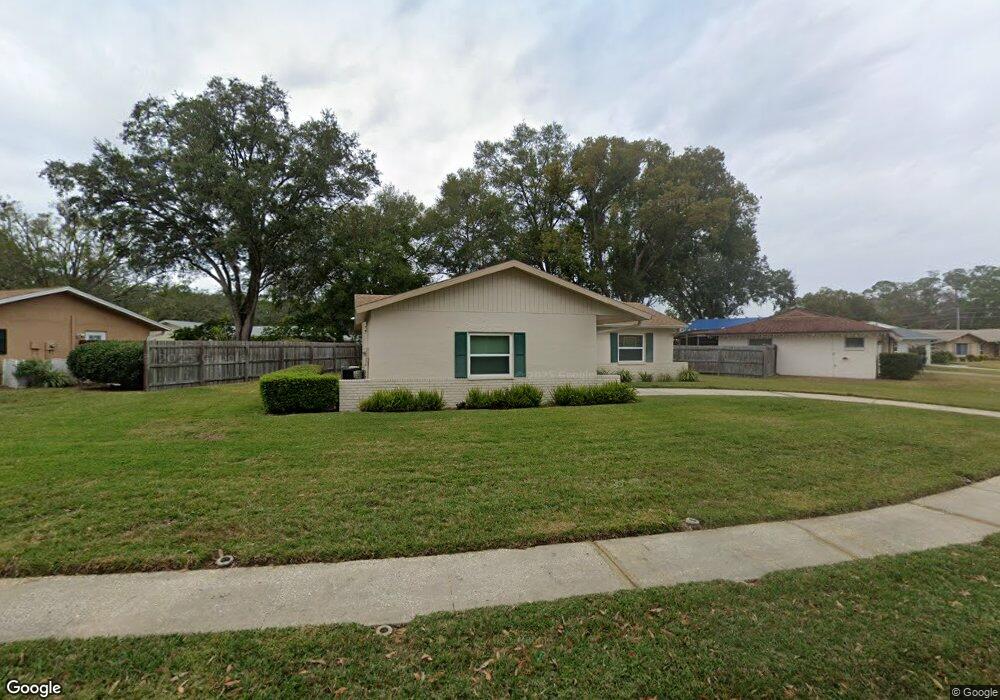
2119 Crowsnest Dr Palm Harbor, FL 34685
Estimated Value: $278,000 - $345,000
Studio
2
Baths
1,166
Sq Ft
$270/Sq Ft
Est. Value
About This Home
This home is located at 2119 Crowsnest Dr, Palm Harbor, FL 34685 and is currently estimated at $314,455, approximately $269 per square foot. 2119 Crowsnest Dr is a home located in Pinellas County with nearby schools including Cypress Woods Elementary School, East Lake High School, and Joseph L. Carwise Middle School.
Ownership History
Date
Name
Owned For
Owner Type
Purchase Details
Closed on
Jun 8, 2009
Sold by
Moore Margaret M and Skiscim Margaret M
Bought by
Moore Douglas Brooke and Moore Margaret M
Current Estimated Value
Purchase Details
Closed on
Jan 21, 2003
Sold by
Skiscim Margaret M and Skiscim Walter J
Bought by
Skiscim Margaret M
Home Financials for this Owner
Home Financials are based on the most recent Mortgage that was taken out on this home.
Original Mortgage
$55,600
Outstanding Balance
$23,134
Interest Rate
5.93%
Mortgage Type
New Conventional
Estimated Equity
$291,321
Create a Home Valuation Report for This Property
The Home Valuation Report is an in-depth analysis detailing your home's value as well as a comparison with similar homes in the area
Home Values in the Area
Average Home Value in this Area
Purchase History
| Date | Buyer | Sale Price | Title Company |
|---|---|---|---|
| Moore Douglas Brooke | -- | Attorney | |
| Skiscim Margaret M | -- | -- |
Source: Public Records
Mortgage History
| Date | Status | Borrower | Loan Amount |
|---|---|---|---|
| Open | Skiscim Margaret M | $55,600 |
Source: Public Records
Tax History
| Year | Tax Paid | Tax Assessment Tax Assessment Total Assessment is a certain percentage of the fair market value that is determined by local assessors to be the total taxable value of land and additions on the property. | Land | Improvement |
|---|---|---|---|---|
| 2025 | $1,003 | $96,453 | -- | -- |
| 2024 | $969 | $93,735 | -- | -- |
| 2023 | $969 | $91,005 | $0 | $0 |
| 2022 | $1,039 | $88,354 | $0 | $0 |
| 2021 | $981 | $85,781 | $0 | $0 |
| 2020 | $980 | $84,597 | $0 | $0 |
| 2019 | $956 | $82,695 | $0 | $0 |
| 2018 | $935 | $81,153 | $0 | $0 |
| 2017 | $917 | $79,484 | $0 | $0 |
| 2016 | $900 | $77,849 | $0 | $0 |
| 2015 | $915 | $77,308 | $0 | $0 |
| 2014 | $911 | $76,694 | $0 | $0 |
Source: Public Records
Map
Nearby Homes
- 2108 Portside Passage
- 1137 Lanyard St
- 1128 Lanyard St
- 819 Helmsman Way
- 918 Windward Way
- 811 Helmsman Way
- 808 Helmsman Way
- 2309 Forecastle Dr
- 748 Helmsman St
- 2665 Woodhall Terrace
- 3301 Crystal Ct E Unit M
- 2808 Woodhall Terrace
- 2676 Tanglewood Trail
- 2817 Wendover Terrace
- 3870 Pheasant Ct
- 1000 Tarpon Woods Blvd Unit 503
- 1840 Palmer Ct
- 1510 Palmer Ct
- 3856 Goldfinch Ct
- 1200 Tarpon Woods Blvd Unit L4
- 2113 Crowsnest Dr
- 2131 Crowsnest Dr
- 1057 Mainsail Way
- 1049 Mainsail Way
- 2130 Crowsnest Dr
- 2124 Crowsnest Dr
- 2118 Crowsnest Dr
- 2107 Crowsnest Dr
- 2136 Crowsnest Dr
- 2139 Crowsnest Dr
- 2112 Crowsnest Dr
- 1065 Mainsail Way
- 2142 Crowsnest Dr
- 1041 Mainsail Way
- 2106 Crowsnest Dr
- 2145 Portside Passage
- 2139 Portside Passage
- 2101 Crowsnest Dr
- 2121 Portside Passage
- 2143 Crowsnest Dr
Your Personal Tour Guide
Ask me questions while you tour the home.