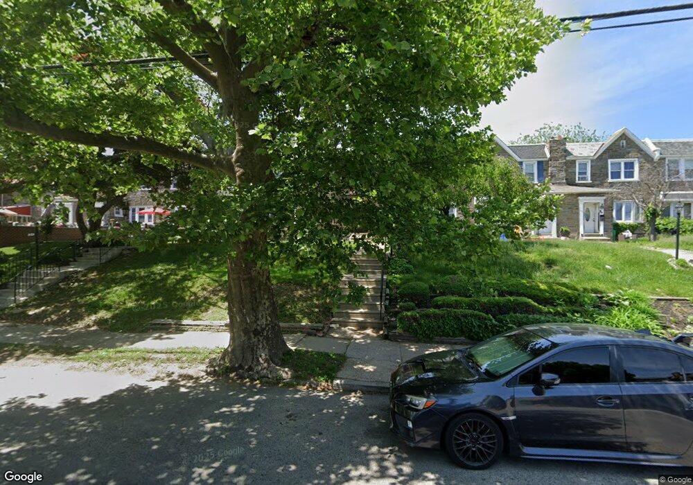
2119 E Walnut Ln Philadelphia, PA 19138
West Oak Lane NeighborhoodEstimated Value: $220,000 - $279,000
3
Beds
1
Bath
1,480
Sq Ft
$163/Sq Ft
Est. Value
About This Home
This home is located at 2119 E Walnut Ln, Philadelphia, PA 19138 and is currently estimated at $240,695, approximately $162 per square foot. 2119 E Walnut Ln is a home located in Philadelphia County with nearby schools including Pennypacker Samuel School, Martin Luther King High School, and West Oak Lane Charter School.
Ownership History
Date
Name
Owned For
Owner Type
Purchase Details
Closed on
Feb 26, 2015
Sold by
Moore Robert L
Bought by
Moore Robert L and Moore Deloris
Current Estimated Value
Home Financials for this Owner
Home Financials are based on the most recent Mortgage that was taken out on this home.
Original Mortgage
$142,500
Interest Rate
2.92%
Mortgage Type
Reverse Mortgage Home Equity Conversion Mortgage
Purchase Details
Closed on
May 4, 1983
Bought by
Moore Robert L
Create a Home Valuation Report for This Property
The Home Valuation Report is an in-depth analysis detailing your home's value as well as a comparison with similar homes in the area
Home Values in the Area
Average Home Value in this Area
Purchase History
| Date | Buyer | Sale Price | Title Company |
|---|---|---|---|
| Moore Robert L | -- | None Available | |
| Moore Robert L | $12,500 | -- |
Source: Public Records
Mortgage History
| Date | Status | Borrower | Loan Amount |
|---|---|---|---|
| Previous Owner | Moore Robert L | $142,500 |
Source: Public Records
Tax History Compared to Growth
Tax History
| Year | Tax Paid | Tax Assessment Tax Assessment Total Assessment is a certain percentage of the fair market value that is determined by local assessors to be the total taxable value of land and additions on the property. | Land | Improvement |
|---|---|---|---|---|
| 2026 | $2,672 | $234,800 | $46,960 | $187,840 |
| 2025 | $2,672 | $234,800 | $46,960 | $187,840 |
| 2024 | $2,672 | $234,800 | $46,960 | $187,840 |
| 2023 | $2,672 | $190,900 | $38,180 | $152,720 |
| 2022 | $1,380 | $145,900 | $38,180 | $107,720 |
| 2021 | $2,010 | $0 | $0 | $0 |
| 2020 | $2,010 | $0 | $0 | $0 |
| 2019 | $2,098 | $0 | $0 | $0 |
| 2018 | $1,863 | $0 | $0 | $0 |
| 2017 | $1,863 | $0 | $0 | $0 |
| 2016 | $1,863 | $0 | $0 | $0 |
| 2015 | $13,005 | $0 | $0 | $0 |
| 2014 | -- | $133,100 | $21,283 | $111,817 |
| 2012 | -- | $17,728 | $3,582 | $14,146 |
Source: Public Records
Map
Nearby Homes
- 7349 E Walnut Ln
- 1839 E Pastorius St
- 7092 Forrest Ave
- 7206 Forrest Ave
- 1821 E Tulpehocken St
- 1822 Nolan St
- 7001 Limekiln Pike
- 1762 Mohican St
- 7245 Ogontz Ave
- 1623 Middleton St
- 6944 Cedar Park Ave
- 1759 E Mayland St
- 7159 N 20th St
- 1559 E Pastorius St
- 1544 Beverly Rd
- 7016 Andrews Ave
- 7188 N Uber St
- 7321 Sommers Rd
- 6905 Forrest Ave
- 6908 Ogontz Ave
- 2117 E Walnut Ln
- 2121 E Walnut Ln
- 2115 E Walnut Ln
- 2123 E Walnut Ln
- 2113 E Walnut Ln
- 2125 E Walnut Ln
- 2111 E Walnut Ln
- 2127 E Walnut Ln
- 2109 E Walnut Ln
- 1810 Beverly Rd
- 2107 E Walnut Ln
- 2129 E Walnut Ln Unit 31
- 1812 Beverly Rd
- 1800 Beverly Rd
- 1806 Beverly Rd
- 1804 Beverly Rd
- 1808 Beverly Rd
- 1802 Beverly Rd
- 1816 Beverly Rd
- 1814 Beverly Rd