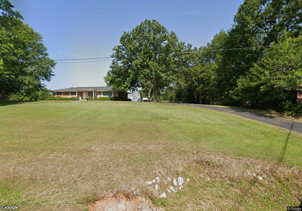
2119 Highway 51 Wesson, MS 39191
Estimated Value: $168,000 - $254,000
Studio
1
Bath
1,878
Sq Ft
$110/Sq Ft
Est. Value
About This Home
This home is located at 2119 Highway 51, Wesson, MS 39191 and is currently estimated at $207,497, approximately $110 per square foot. 2119 Highway 51 is a home.
Ownership History
We collect this data history from publicly available records. To have your information removed, we recommend requesting removal directly through your county’s website.
Date
Name
Owned For
Owner Type
Purchase Details
Closed on
Nov 16, 2012
Sold by
Bought by
Current Estimated Value
Purchase Details
Closed on
Nov 1, 2012
Sold by
Bought by
Purchase Details
Closed on
Apr 23, 2012
Sold by
Bought by
Purchase Details
Closed on
Jun 23, 2011
Sold by
Bought by
Create a Home Valuation Report for This Property
The Home Valuation Report is an in-depth analysis detailing your home's value as well as a comparison with similar homes in the area
Purchase History
We collect this data history from publicly available records. To have your information removed, we recommend requesting removal directly through your county’s website.
| Date | Buyer | Sale Price | Title Company |
|---|---|---|---|
| -- | -- | ||
| -- | -- | ||
| -- | -- | ||
| -- | -- |
Source: Public Records
Tax History
We collect this data history from publicly available records. To have your information removed, we recommend requesting removal directly through your county’s website.
| Year | Tax Paid | Tax Assessment Tax Assessment Total Assessment is a certain percentage of the fair market value that is determined by local assessors to be the total taxable value of land and additions on the property. | Land | Improvement |
|---|---|---|---|---|
| 2025 | $249 | $11,423 | $0 | $0 |
| 2024 | $4 | $11,019 | $0 | $0 |
| 2023 | $445 | $11,010 | $0 | $0 |
| 2022 | $448 | $11,004 | $0 | $0 |
| 2021 | $422 | $10,897 | $0 | $0 |
| 2020 | $406 | $10,313 | $0 | $0 |
| 2019 | $410 | $10,308 | $0 | $0 |
| 2018 | $309 | $10,319 | $0 | $0 |
| 2017 | $268 | $10,308 | $0 | $0 |
| 2016 | $268 | $9,990 | $0 | $0 |
| 2015 | -- | $9,969 | $0 | $0 |
| 2014 | -- | $9,950 | $0 | $0 |
Source: Public Records
Map
Nearby Homes
- 1008 Tannahill St
- 0 Wells St
- 0 Loom St
- 1001 Lumley Ln
- 1041 3rd St
- 1079 Beech St
- 000 Grover Smith Ln
- 589 Mount Zion Rd
- 594 Mount Zion Rd
- 000 Furrs Mill Dr NE
- 0 Furrs Mill Dr NE
- 2548 Furrs Mill Dr NE
- 3085 Beauregard Rd
- 2127 Anderson Rd
- 2417 Lake Lincoln Dr NE
- 4194 Martinsville Rd
- 0 Cline Rd
- 0 Linwood Ln NE
- Lot 5 Bahalia Rd NE
- 3167 Bahalia Rd NE
Your Personal Tour Guide
Ask me questions while you tour the home.