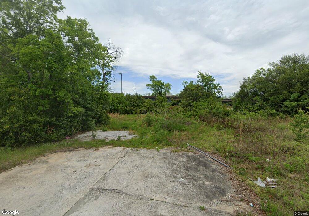
2119 Moore St Macon, GA 31204
Estimated Value: $67,000 - $102,000
4
Beds
2
Baths
1,508
Sq Ft
$52/Sq Ft
Est. Value
About This Home
This home is located at 2119 Moore St, Macon, GA 31204 and is currently estimated at $77,809, approximately $51 per square foot. 2119 Moore St is a home with nearby schools including Hartley Elementary School, Southwest High School, and Cirrus Charter Academy.
Ownership History
Date
Name
Owned For
Owner Type
Purchase Details
Closed on
Mar 8, 2023
Sold by
New Pilgrim Missionary Baptist Church In
Bought by
Cirrus Education Group Inc
Current Estimated Value
Purchase Details
Closed on
Aug 24, 2022
Sold by
Hope Economic Development And Learning C
Bought by
New Pilgrim Missionary Baptist Church Inc
Purchase Details
Closed on
Aug 16, 2019
Sold by
Moore Street Properties Llc
Bought by
Hope Economic Dev & Learning Centr Inc
Purchase Details
Closed on
Aug 5, 2016
Sold by
Gertrude
Bought by
Moore Street Properties Llc
Purchase Details
Closed on
Oct 22, 2012
Sold by
Owens Osie B and Owens John Eric
Bought by
Washington Gertrude
Purchase Details
Closed on
Sep 23, 1983
Sold by
John Owens Jr By Extrx Est
Bought by
Owens Osie B Life Est -
Create a Home Valuation Report for This Property
The Home Valuation Report is an in-depth analysis detailing your home's value as well as a comparison with similar homes in the area
Home Values in the Area
Average Home Value in this Area
Purchase History
| Date | Buyer | Sale Price | Title Company |
|---|---|---|---|
| Cirrus Education Group Inc | $35,000 | -- | |
| New Pilgrim Missionary Baptist Church Inc | -- | -- | |
| Hope Economic Dev & Learning Centr Inc | -- | None Available | |
| Moore Street Properties Llc | $19,500 | -- | |
| Washington Gertrude | $2,500 | None Available | |
| Owens Osie B Life Est - | -- | -- |
Source: Public Records
Tax History Compared to Growth
Tax History
| Year | Tax Paid | Tax Assessment Tax Assessment Total Assessment is a certain percentage of the fair market value that is determined by local assessors to be the total taxable value of land and additions on the property. | Land | Improvement |
|---|---|---|---|---|
| 2025 | $548 | $22,305 | $2,100 | $20,205 |
| 2024 | $566 | $22,305 | $2,100 | $20,205 |
| 2023 | $661 | $22,305 | $2,100 | $20,205 |
| 2022 | $269 | $7,767 | $952 | $6,815 |
| 2021 | $295 | $7,767 | $952 | $6,815 |
| 2020 | $302 | $7,767 | $952 | $6,815 |
| 2019 | $304 | $7,767 | $952 | $6,815 |
| 2018 | $826 | $7,767 | $952 | $6,815 |
| 2017 | $291 | $7,767 | $952 | $6,815 |
| 2016 | $308 | $8,902 | $952 | $7,950 |
| 2015 | $640 | $13,071 | $1,714 | $11,358 |
| 2014 | -- | $13,071 | $1,714 | $11,358 |
Source: Public Records
Map
Nearby Homes
- 2032 Vining Cir
- 466 Petunia Ave
- 2125 Cedar Ave
- 210 Moseley Ave
- 710 Poppy Ave
- 1580 Marigold Ave
- 1049 Anthony Rd
- 1045 Anthony Rd
- 576 Pansy Ave
- 1568 Marigold Ave
- 1191 Carroll St
- 1121 Carroll St
- 1144 Carroll St
- 1545 Anthony Rd
- 430 Daffodil St
- 1518 Marigold Ave
- 2349 Mason St
- 2249 Lowe St
- 297 Pansy Ave
- 1495 Ninadel Dr
- 2115 Moore St
- 1954 Pio Nono Ave
- 1966 Vining Cir
- 1962 Vining Cir
- 1970 Vining Cir
- 1974 Vining Cir
- 1958 Vining Cir
- 1978 Vining Cir
- 2059 Moore St
- 0 Vining Cir Unit 8468022
- 0 Vining Cir Unit 8400847
- 0 Vining Cir Unit 8278057
- 0 Vining Cir
- 1935 Pio Nono Ave
- 1915 Pio Nono Ave
- 1982 Vining Cir
- 1959 Vining Cir
- 1967 Vining Cir
- 1963 Vining Cir
- 1883 Pio Nono Ave
