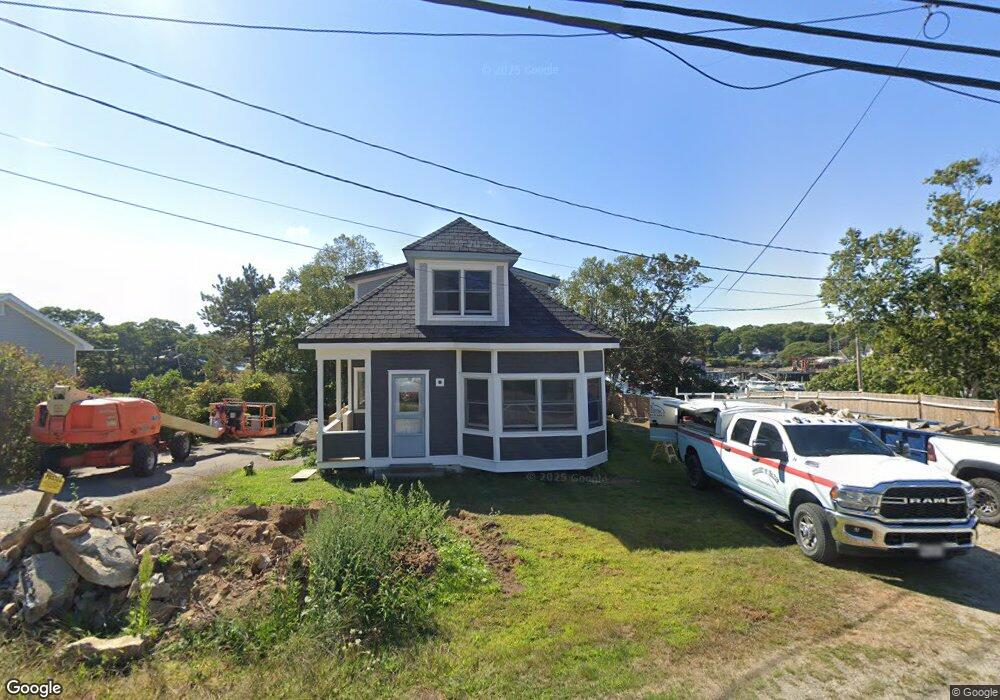
2119 State Route 129 South Bristol, ME 04568
Estimated Value: $969,000
--
Bed
--
Bath
--
Sq Ft
9,148
Sq Ft Lot
About This Home
This home is located at 2119 State Route 129, South Bristol, ME 04568 and is currently estimated at $969,000. 2119 State Route 129 is a home with nearby schools including South Bristol Elementary School.
Ownership History
Date
Name
Owned For
Owner Type
Purchase Details
Closed on
May 20, 2021
Sold by
Janoo Judith E and Lucas Joyce F
Bought by
Farrin Marvin K and Farrin Mia B
Current Estimated Value
Home Financials for this Owner
Home Financials are based on the most recent Mortgage that was taken out on this home.
Original Mortgage
$150,000
Outstanding Balance
$135,937
Interest Rate
3.1%
Mortgage Type
Stand Alone Refi Refinance Of Original Loan
Estimated Equity
$833,063
Purchase Details
Closed on
Feb 21, 2006
Sold by
Farrin Afton H
Bought by
Rutherfords Isl Wharf Llc and Wharf House Llc
Create a Home Valuation Report for This Property
The Home Valuation Report is an in-depth analysis detailing your home's value as well as a comparison with similar homes in the area
Home Values in the Area
Average Home Value in this Area
Purchase History
| Date | Buyer | Sale Price | Title Company |
|---|---|---|---|
| Farrin Marvin K | -- | None Available | |
| Farrin Marvin K | -- | None Available | |
| Rutherfords Isl Wharf Llc | -- | -- | |
| Rutherfords Isl Wharf Llc | -- | -- |
Source: Public Records
Mortgage History
| Date | Status | Borrower | Loan Amount |
|---|---|---|---|
| Open | Farrin Marvin K | $150,000 |
Source: Public Records
Tax History Compared to Growth
Tax History
| Year | Tax Paid | Tax Assessment Tax Assessment Total Assessment is a certain percentage of the fair market value that is determined by local assessors to be the total taxable value of land and additions on the property. | Land | Improvement |
|---|---|---|---|---|
| 2024 | $1,652 | $317,600 | $259,000 | $58,600 |
| 2023 | $1,375 | $345,600 | $259,000 | $86,600 |
| 2021 | $1,393 | $345,600 | $259,000 | $86,600 |
| 2017 | $1,158 | $345,600 | $259,000 | $86,600 |
| 2016 | $1,158 | $345,600 | $259,000 | $86,600 |
| 2015 | $1,106 | $345,600 | $259,000 | $86,600 |
| 2007 | -- | $345,600 | $259,000 | $86,600 |
Source: Public Records
Map
Nearby Homes
- 19 Hill Rd
- 2059 State Route 129
- Lot 63 M14 John Gay Rd
- 2301 State Route 129
- Lts 23A&24 Birch Island
- 28 & 31 Will Alley Rd
- 239 Ocean Point Rd
- 35 Rice Rd
- 24 Barlow Hill Rd
- 12 Westwind Dr
- 5 Massachusetts Ave
- 98 Meadow Cove Rd
- 545 Ocean Point Rd Unit 15-C
- 1 Fish Point Rd
- 82 Pemaquid Trail
- Lot 11 Nahanada Rd
- Lot 13 Nahanada Rd
- 44 King Phillips Trail
- 211 Snowball Hill Rd
- 83 Western Ledge Rd
- 2115 Route 129
- 2120 Maine 129
- 2123 State Route 129
- 2120 State Route 129
- 2122 State Route 129
- 2126 State Route 129
- 2128 State Route 129
- 2129 State Route 129
- 2126 St Route 129 Rd
- 2109 Maine 129
- 2132 State Route 129
- 2129 Maine 129
- 2105 State Route 129
- 2104 & 210 State Rt 129
- 14 Four Winds Dr
- 18 Boot Hill Rd
- 8 Elliots Cove Ln
- 2142 State Route 129
- 2095 State Route 129
- 2089 State Route 129