21199 Rothrock Rd Elkins, AR 72727
Estimated Value: $232,000 - $263,919
3
Beds
2
Baths
1,731
Sq Ft
$145/Sq Ft
Est. Value
About This Home
This home is located at 21199 Rothrock Rd, Elkins, AR 72727 and is currently estimated at $251,730, approximately $145 per square foot. 21199 Rothrock Rd is a home located in Washington County with nearby schools including Elkins Elementary Primary School, Elkins Elementary School, and Elkins Middle School.
Ownership History
Date
Name
Owned For
Owner Type
Purchase Details
Closed on
Sep 7, 2013
Bought by
Norwood Douglas W and Norwood Nancy J
Current Estimated Value
Purchase Details
Closed on
Mar 22, 2011
Sold by
Secretary Of Housing & Urban Development
Bought by
Norwood Douglas W and Norwood Nancy J
Purchase Details
Closed on
Jan 16, 1998
Bought by
Srader Steve Ronald
Create a Home Valuation Report for This Property
The Home Valuation Report is an in-depth analysis detailing your home's value as well as a comparison with similar homes in the area
Home Values in the Area
Average Home Value in this Area
Purchase History
| Date | Buyer | Sale Price | Title Company |
|---|---|---|---|
| Norwood Douglas W | -- | -- | |
| Norwood Douglas W | -- | Professional Land Title Comp | |
| Srader Steve Ronald | $1,000 | -- |
Source: Public Records
Tax History Compared to Growth
Tax History
| Year | Tax Paid | Tax Assessment Tax Assessment Total Assessment is a certain percentage of the fair market value that is determined by local assessors to be the total taxable value of land and additions on the property. | Land | Improvement |
|---|---|---|---|---|
| 2025 | $731 | $41,100 | $4,420 | $36,680 |
| 2024 | $831 | $41,100 | $4,420 | $36,680 |
| 2023 | $938 | $41,100 | $4,420 | $36,680 |
| 2022 | $988 | $31,390 | $5,560 | $25,830 |
| 2021 | $988 | $31,390 | $5,560 | $25,830 |
| 2020 | $988 | $31,390 | $5,560 | $25,830 |
| 2019 | $993 | $26,990 | $4,270 | $22,720 |
| 2018 | $1,018 | $26,990 | $4,270 | $22,720 |
| 2017 | $100 | $26,990 | $4,270 | $22,720 |
| 2016 | $1,005 | $26,990 | $4,270 | $22,720 |
| 2015 | $1,005 | $26,990 | $4,270 | $22,720 |
| 2014 | $1,046 | $27,800 | $3,770 | $24,030 |
Source: Public Records
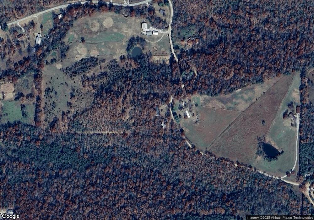
Map
Nearby Homes
- 1022 Adysen Ln
- 503 Jason St
- 607 Jason St
- 517 Jason St
- 21964 Raven Rd
- 10836 Bray Rd
- 0 Tbd Madison Cr 6021 Unit 1319733
- 20553 Durham McCord Rd
- 20266 Mount Olive Rd
- 2107 Madison 4097
- 6451 Madison 6041
- 12016 Snake Branch Rd
- 19105 Feather Hill Rd
- 19641 Conestoga Rd
- 339 Madison 6122 & 440 Madison 6122
- 122 Madison 6124
- 0 277 Madison 6124 Unit 1298983
- 895 Madison 6180
- 20096 E Hwy 74 Hwy
- RC Carnegie II Plan at Stokenbury
- 21224 Rothrock Rd
- 21101 Rothrock Rd
- 0 Springston Ford Unit 1040406
- 21220 Rothrock Rd
- 21104 Rothrock Rd
- 21175 Springston Ford Rd
- 21045 Springston Ford Rd
- 21368 Rothrock Rd
- 21376 Rothrock Rd
- 21180 Springston Ford Rd
- 0 Springton Ford Rd Unit 623920
- 21001 Springston Ford Rd
- 21465 Nogales Rd
- 10182 Venice Rd
- 21408 Nogales Rd
- 21560 Rothrock Rd
- 20945 Springston Ford Rd
- 21408 Nogales Rd
- 21070 Springston Ford Rd
- 20906 Springston Ford Rd