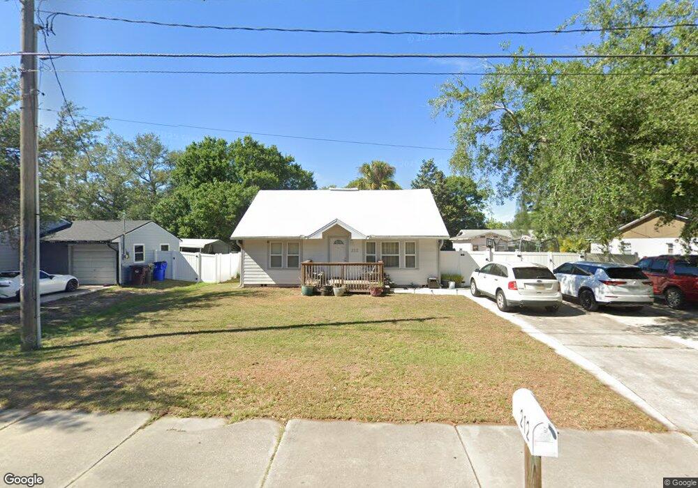
212 17th St Saint Cloud, FL 34769
Downtown Saint Cloud NeighborhoodEstimated Value: $196,000 - $269,000
2
Beds
1
Bath
972
Sq Ft
$236/Sq Ft
Est. Value
About This Home
This home is located at 212 17th St, Saint Cloud, FL 34769 and is currently estimated at $229,541, approximately $236 per square foot. 212 17th St is a home located in Osceola County with nearby schools including St. Cloud High School, Michigan Avenue Elementary School, and St. Cloud Middle School.
Ownership History
Date
Name
Owned For
Owner Type
Purchase Details
Closed on
Nov 13, 1996
Sold by
Fed Natl Mtg Assn
Bought by
Armstrong Curt D and Armstrong Deena S
Current Estimated Value
Home Financials for this Owner
Home Financials are based on the most recent Mortgage that was taken out on this home.
Original Mortgage
$36,400
Outstanding Balance
$2,974
Interest Rate
7.65%
Mortgage Type
Purchase Money Mortgage
Estimated Equity
$226,567
Purchase Details
Closed on
Aug 26, 1996
Sold by
Clerk Circuit Court
Bought by
Fed Natl Mtg Assn
Create a Home Valuation Report for This Property
The Home Valuation Report is an in-depth analysis detailing your home's value as well as a comparison with similar homes in the area
Home Values in the Area
Average Home Value in this Area
Purchase History
| Date | Buyer | Sale Price | Title Company |
|---|---|---|---|
| Armstrong Curt D | $45,500 | -- | |
| Fed Natl Mtg Assn | $40,500 | -- |
Source: Public Records
Mortgage History
| Date | Status | Borrower | Loan Amount |
|---|---|---|---|
| Open | Armstrong Curt D | $36,400 |
Source: Public Records
Tax History
| Year | Tax Paid | Tax Assessment Tax Assessment Total Assessment is a certain percentage of the fair market value that is determined by local assessors to be the total taxable value of land and additions on the property. | Land | Improvement |
|---|---|---|---|---|
| 2025 | $493 | $59,718 | -- | -- |
| 2024 | $489 | $58,035 | -- | -- |
| 2023 | $489 | $56,345 | $0 | $0 |
| 2022 | $480 | $54,704 | $0 | $0 |
| 2021 | $458 | $49,616 | $0 | $0 |
| 2020 | $448 | $48,931 | $0 | $0 |
| 2019 | $415 | $46,854 | $0 | $0 |
| 2018 | $403 | $45,981 | $0 | $0 |
| 2017 | $392 | $45,036 | $0 | $0 |
| 2016 | $377 | $44,110 | $0 | $0 |
| 2015 | $379 | $43,804 | $0 | $0 |
| 2014 | $374 | $43,457 | $0 | $0 |
Source: Public Records
Map
Nearby Homes
- 1705 Delaware Ave
- 1418 Delaware Ave
- 0 18th St
- 0 18th Ave Unit MFRO6150818
- 200 Reese Ct
- 196 13th St Unit W36
- 196 13th St Unit W19
- 196 13th St Unit W8
- 196 13th St Unit E45
- 6301 E Irlo Bronson Memorial Hwy
- 0 13th Ave Unit MFRS5104406
- 1519 Illinois Ave
- 705 Michigan Ct Unit 1-4
- 694 Michigan Ct Unit 2
- 694 Michigan Ct Unit 3
- 694 Michigan Ct Unit 1
- 694 Michigan Ct Unit 4
- 694 Michigan Ct
- 711 Michigan Ct Unit 3
- 1010 Mississippi Ave
- 206 17th St
- 218 17th St
- 1601 Delaware Ave
- 207 16th St
- 200 17th St
- 201 16th St
- 1608 Delaware Ave
- 229 17th St
- 301 16th St
- 1624 Delaware Ave
- 1600 Delaware Ave
- 1517 Delaware Ave
- 200 16th St
- 1706 Barton Towne Cir
- 1516 Wyoming Ave
- 1704 Barton Towne Cir
- 305 17th St
- 1617 Wyoming Ave
- 1611 Wyoming Ave
- 1708 Barton Towne Cir
Your Personal Tour Guide
Ask me questions while you tour the home.