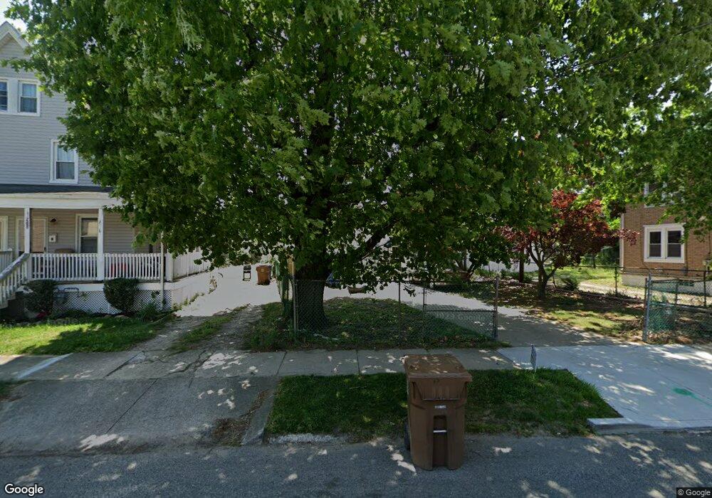
212 2nd St Swedesboro, NJ 08085
Estimated Value: $178,000 - $250,000
--
Bed
--
Bath
1,064
Sq Ft
$197/Sq Ft
Est. Value
About This Home
This home is located at 212 2nd St, Swedesboro, NJ 08085 and is currently estimated at $210,074, approximately $197 per square foot. 212 2nd St is a home located in Gloucester County with nearby schools including Margaret C Clifford School, Gov. Charles C. Stratton School, and Gen. Charles G. Harker School.
Ownership History
Date
Name
Owned For
Owner Type
Purchase Details
Closed on
Feb 27, 2019
Sold by
Kawula Robert
Bought by
Kawula John
Current Estimated Value
Purchase Details
Closed on
Sep 23, 2005
Sold by
Smith Donald J
Bought by
Smith Donald J and Waller Loretta
Purchase Details
Closed on
Apr 19, 1998
Sold by
Young Helen and Smith Donald
Bought by
Smith Donald J
Purchase Details
Closed on
Jun 3, 1994
Sold by
Myers Raymond W and Myers Nancy Lynn Cox
Bought by
Smith Jimmie Lee
Create a Home Valuation Report for This Property
The Home Valuation Report is an in-depth analysis detailing your home's value as well as a comparison with similar homes in the area
Home Values in the Area
Average Home Value in this Area
Purchase History
| Date | Buyer | Sale Price | Title Company |
|---|---|---|---|
| Kawula John | -- | None Available | |
| Smith Donald J | -- | -- | |
| Smith Donald J | -- | -- | |
| Young Helen | -- | -- | |
| Smith Jimmie Lee | $58,000 | Premier Title Agency Inc |
Source: Public Records
Tax History Compared to Growth
Tax History
| Year | Tax Paid | Tax Assessment Tax Assessment Total Assessment is a certain percentage of the fair market value that is determined by local assessors to be the total taxable value of land and additions on the property. | Land | Improvement |
|---|---|---|---|---|
| 2025 | $4,303 | $101,200 | $32,700 | $68,500 |
| 2024 | $4,266 | $101,200 | $32,700 | $68,500 |
| 2023 | $4,266 | $101,200 | $32,700 | $68,500 |
| 2022 | $4,256 | $101,200 | $32,700 | $68,500 |
| 2021 | $4,260 | $101,200 | $32,700 | $68,500 |
| 2020 | $4,109 | $101,200 | $32,700 | $68,500 |
| 2019 | $4,036 | $101,200 | $32,700 | $68,500 |
| 2018 | $4,075 | $101,200 | $32,700 | $68,500 |
| 2017 | $4,053 | $101,200 | $32,700 | $68,500 |
| 2016 | $4,049 | $101,200 | $32,700 | $68,500 |
| 2015 | $3,933 | $101,200 | $32,700 | $68,500 |
| 2014 | $3,765 | $102,700 | $37,800 | $64,900 |
Source: Public Records
Map
Nearby Homes
- 206 2nd St Unit 8
- 216 2nd St
- 204 2nd St Unit M02
- 220 2nd St
- 102 Church St Unit 104
- 1215 Kings Hwy
- 1219 Kings Hwy Unit 1221
- 222 2nd St
- 101 Broad St
- 103 Broad St
- 110 Church St
- 110 Church St
- 111 Church St
- 105 Church St
- 111 Broad St
- 1220 Kings Hwy
- 1220 Kings Hwy Unit BASEMENT
- 15 Ashton Ave Unit 17
- 15-17 Ashton Ave
- 109 Church St
