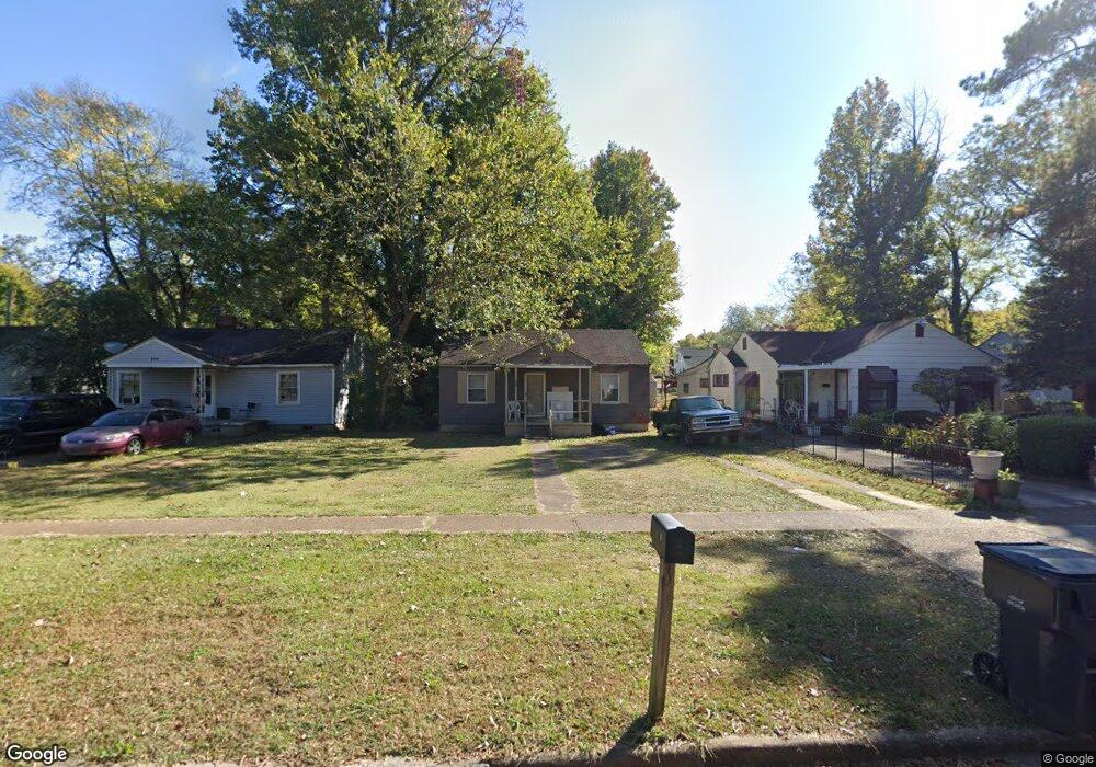
212 6th Ave NW Decatur, AL 35601
West Decatur NeighborhoodEstimated Value: $88,885 - $101,000
2
Beds
1
Bath
800
Sq Ft
$116/Sq Ft
Est. Value
About This Home
This home is located at 212 6th Ave NW, Decatur, AL 35601 and is currently estimated at $92,971, approximately $116 per square foot. 212 6th Ave NW is a home located in Morgan County with nearby schools including Banks-Caddell Elementary School, Horizon High School, and Decatur Middle School.
Ownership History
Date
Name
Owned For
Owner Type
Purchase Details
Closed on
May 11, 2023
Sold by
Smith James Keith
Bought by
Smith James Keith
Current Estimated Value
Purchase Details
Closed on
Dec 20, 2019
Sold by
Acm Vision V Llc
Bought by
Kaja Holdings 2 Llc
Purchase Details
Closed on
Nov 21, 2012
Sold by
Federal National Mortgage Association
Bought by
Ar Seven Llc
Purchase Details
Closed on
Jul 26, 2012
Sold by
Miller Lawrence R and Miller Joanne M
Bought by
Federal National Mortgage Association
Create a Home Valuation Report for This Property
The Home Valuation Report is an in-depth analysis detailing your home's value as well as a comparison with similar homes in the area
Home Values in the Area
Average Home Value in this Area
Purchase History
| Date | Buyer | Sale Price | Title Company |
|---|---|---|---|
| Smith James Keith | $33,995 | None Listed On Document | |
| Kaja Holdings 2 Llc | -- | None Available | |
| Ar Seven Llc | $5,255 | Servicelink | |
| Federal National Mortgage Association | $28,232 | None Available |
Source: Public Records
Tax History Compared to Growth
Tax History
| Year | Tax Paid | Tax Assessment Tax Assessment Total Assessment is a certain percentage of the fair market value that is determined by local assessors to be the total taxable value of land and additions on the property. | Land | Improvement |
|---|---|---|---|---|
| 2024 | $178 | $1,960 | $450 | $1,510 |
| 2023 | $178 | $3,640 | $900 | $2,740 |
| 2022 | $165 | $3,640 | $900 | $2,740 |
| 2021 | $154 | $3,400 | $900 | $2,500 |
| 2020 | $154 | $3,400 | $900 | $2,500 |
| 2019 | $154 | $3,400 | $0 | $0 |
| 2015 | $173 | $3,120 | $0 | $0 |
| 2014 | $173 | $3,820 | $0 | $0 |
| 2013 | -- | $3,620 | $0 | $0 |
Source: Public Records
Map
Nearby Homes
- 219 5th Ave NW
- 109 5th Ave NW
- 310 6th Ave NW
- Lot 13 4th Ave NW
- 107 8th Ave NW
- 207 7th Ave SW
- 201 8th Ave SW
- 1016 Moulton St E
- 421 7th Ave SW
- 602 2nd St SW
- 301 Oak St NE
- 207 Cain St NE
- 406 Canal St NE
- 509 12th Ave NW
- 216 Cain St NE
- 517 12th Ave NW
- 511 Line St NE
- 118 Church St
- 622 Canal St NE
- 506 Ferry St NE